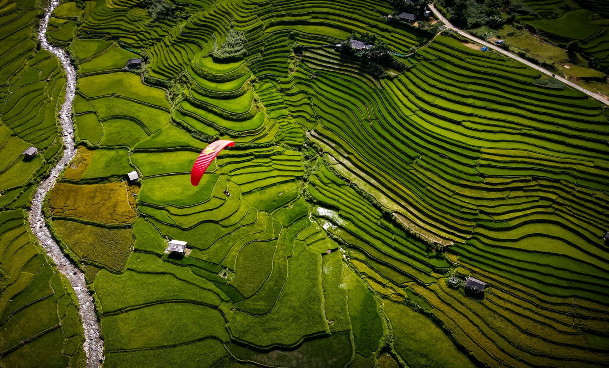
Survol du col légendaire
Haut col – vallée – saison dorée
- 1 268–2 000 m Décollage
- 740 m Atterrissage · Clubhouse
- 2,4 km À vol d'oiseau
- 10–25 minutes En l'air, selon le vent
Altitude de décollage
1 268–2 000 m
Temps de vol
10–25 minutes
Sensation
Fluide et stable
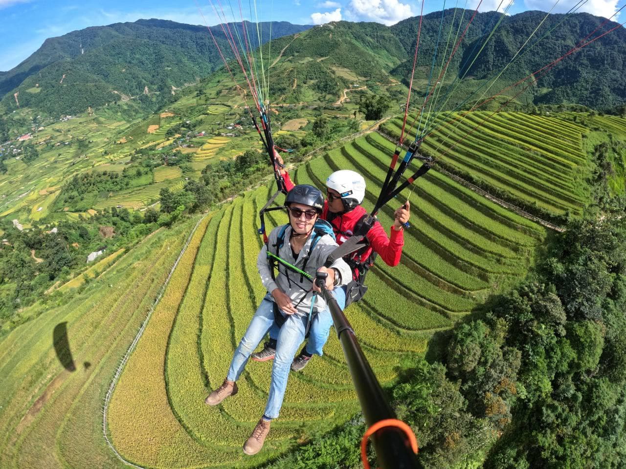
Vivez le parapente au col de Khau Phạ – l’un des quatre cols les plus majestueux du Vietnam. Saison des eaux (avril–mai) : les rizières en terrasses brillent comme des miroirs célestes Saison du riz vert (juin–juillet) : un vert luxuriant s’étend, plein de vie Saison dorée (août–septembre) : les terrasses se parent d’or éclatant, d’une beauté envoûtante
📦 FORFAIT INCLUS :
📸 SERVICES OPTIONNELS :
📌 INFOS SUPPLÉMENTAIRES :
Veuillez réserver à l’avance pour que nous puissions organiser au mieux votre expérience de parapente !
Deux terrains, un vol
Le décollage est à 1 268 m, au bord de la route nationale 32, près du sommet du col de Khau Pha. Le pilote cherche les thermiques pour garder de la hauteur, puis plane vers la vallée de Lim Mong.
L'atterrissage et le Clubhouse Mebayluon sont à côté du pont d'It Thai — 2,4 km à vol d'oiseau. Le sommet du col (environ 1 578 m) est à près de 5 km du décollage, vers Mu Cang Chai.
Voler en sécurité avec Mebayluon
- Nos pilotes suivent une formation rigoureuse aux normes internationales (APPI & IPPI), sont titulaires d'un brevet de pilote biplace et cumulent les heures de vol requises et l'expérience de milliers de vols avant d'emmener des passagers.
- Matériel importé d'origine, conforme aux normes internationales — voile, sellette, parachute de secours, casque — vérifié avant chaque vol et contrôlé régulièrement.
- Nous ne volons que par météo sûre, selon les prévisions et l'avis du pilote sur place ; chaque vol comprend une assurance pour le passager.
Questions fréquentes
Comment aller de Hanoï au site de vol du col de Khau Pha ?
La région de Tu Le – Khau Pha est à environ 250 km de Hanoï, soit près de 5 heures de route. Le décollage est à 1 268 m, près du sommet du col de Khau Pha, au bord de la route nationale 32 ; l'atterrissage se fait au Clubhouse Mebayluon (740 m), dans le village de Lim Thai — bus ou voiture privée : tout est expliqué dans Se rendre au site de vol de Khau Pha.
Quelle est la meilleure saison pour voler à Khau Pha ?
Les rizières en terrasses sont les plus belles à la saison de mise en eau (avril–mai), à la saison du riz vert (juin–juillet) et à la saison du riz mûr, la saison dorée (août–septembre). Voir aussi les meilleures saisons de parapente mois par mois.
Combien de temps dure un vol, et à quelle heure peut-on voler ?
Le vol en parapente dure 10–15 minutes (plus longtemps si les conditions le permettent), le vol en paramoteur 15 minutes et les formules spéciales 20–25 minutes ; l'ensemble de l'expérience prend environ 40–60 minutes. Le site est ouvert tous les jours de 7:00 à 18:00, et les jours ensoleillés il y a aussi des vols au lever du soleil (6:00–7:00) et au coucher du soleil (16:00–17:00).
Faut-il choisir le parapente (PG) ou le paramoteur (PPG) ?
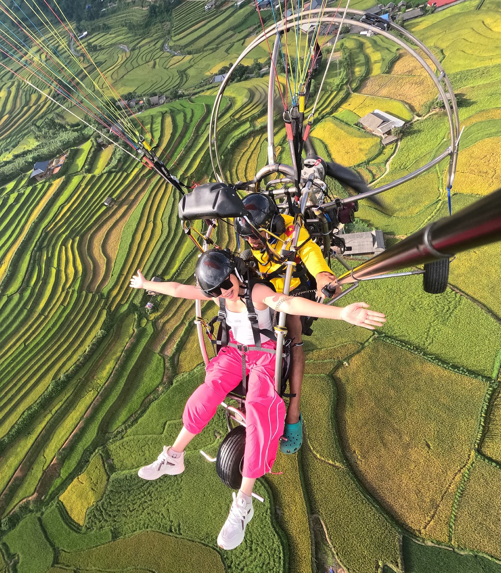
Le parapente (PG) décolle près du sommet du col et vole au gré du vent et du relief ; le paramoteur (PPG) décolle directement dans la vallée, maîtrise son altitude et propose une formule chasse aux nuages jusqu'à environ 2 000 m. Voir Parapente et paramoteur : quelles différences ? et la page paramoteur.
Combien coûte un vol en parapente à Khau Pha ?
Le prix varie selon la date du vol (semaine, week-end ou jour férié) et la formule — consultez les tarifs et réservez sur la page de réservation Khau Pha.
Le parapente est-il sûr, et qui peut voler ?
Nos pilotes suivent une formation rigoureuse aux normes internationales (APPI & IPPI), sont titulaires d'un brevet de pilote biplace et cumulent les heures de vol requises et l'expérience de milliers de vols avant d'emmener des passagers. Matériel importé d'origine, conforme aux normes internationales — voile, sellette, parachute de secours, casque — vérifié avant chaque vol et contrôlé régulièrement. Les passagers doivent avoir au moins 3 ans et peser moins de 120 kg (merci de nous prévenir au-delà de 90 kg ou en dessous de 30 kg), avec une condition physique suffisante pour une courte course d'élan — voir aussi Le parapente est-il dangereux ? et À partir de quel âge peut-on faire du parapente ?.
Que porter et qu'emporter pour le vol ?
Portez des vêtements de sport confortables (manches longues, pantalon long, pas de jupe ni de robe), des chaussures de sport ou de randonnée — des chaussures sont prêtées gratuitement si besoin — et des lunettes de soleil. Vous pouvez emporter un petit sac de 1 à 2 kg pour votre téléphone et vos papiers ; tout le détail dans Avant de voler.
Et si la météo est mauvaise ?
Une réservation sur le site est confirmée immédiatement ; si la météo n'est pas favorable, l'équipe vous contacte pour changer la date. Dates de vol flexibles, annulation gratuite — prévenez-nous d'un changement ou d'une annulation avant l'heure de prise en charge ou de vol convenue et vous êtes remboursé intégralement.
Y a-t-il des photos et vidéos du vol ?
Les photos et la vidéo GoPro de tout le vol sont incluses dans la formule. Vous pouvez ajouter des images de drone (flycam) et une caméra 360° — la vidéo panoramique à 360 degrés est envoyée directement sur votre téléphone après le vol.
Où loger quand on vole à Khau Pha ?
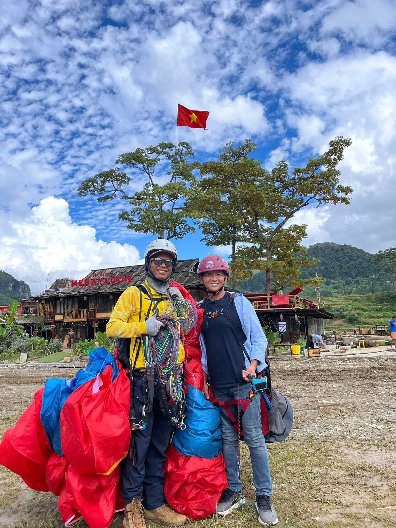
Le Clubhouse Mebayluon, juste sur la zone d'atterrissage, propose un homestay où les passagers sont logés gratuitement, avec surclassement gratuit en chambre privée selon disponibilité (sauf pendant les mois de pointe et les jours fériés) — voir Homestay & Café et Où loger pour voler à Khau Pha. Le guide complet : Parapente à Mu Cang Chai.
Nous avons de nombreux autres sites magnifiques à travers le Vietnam
Le site de vol sur Google Maps
Apprendre à voler sur ce site
Plus d’infos sur ce site sur
Check-in map: Tú Lệ – Khau Phạ – Mù Cang Chải
18 stops around the Mebayluon Clubhouse, going out both ways along Highway QL32: down to Tú Lệ and Nghĩa Lộ, and up over Khau Phạ pass to Mù Cang Chải. Tap a stop to fly in; drag, rotate and zoom freely.
━━ Highway QL32━ side road╌╌ paragliding flight line
Lire le guide : carte de voyage Tú Lệ – col de Khau Phạ – Mù Cang Chải, 18 arrêts →
18 stops on the map
5 Mebayluon Clubhouse · landing field paragliding landing field and clubhouse · 740 m · Centre of the map · paragliding landing field
4.7 km from Tú Lệ market · ~10 min
The paragliding landing field and the Mebayluon Clubhouse, in Lìm Thái village at the heart of the Cao Phạ valley. Every flight that takes off from Khau Phạ lands here.
Sit at the clubhouse and watch each wing circle down and touch the ground among the rice terraces. The best angle is looking back up at the pass, with the gliders against the mountain.
Best season & light
Wings fly all day when conditions allow, 7:00–18:00; the valley is at its best in the flooded-terrace and golden-rice seasons.
Good to know
From the take-off it is about 2.4 km in a straight line and more than 500 m lower. You can stay overnight at the clubhouse.
From the Clubhouse towards Tú Lệ and Nghĩa Lộ
4 Bản Ít Thái Thái village · community tourism · 760 m · 0.5 km from the Clubhouse
5.2 km from Tú Lệ market · ~10 min · 0.5 km from the Clubhouse · ~5 min
A Thái village with a cluster of stilt houses run as community tourism, about 500 m from the paragliding landing field. Ít Thái is a village of its own, not Lìm Thái: the Mebayluon Clubhouse belongs to Lìm Thái and sits between the three villages of Lìm Thái, Ít Thái and Lìm Mông.
Thái stilt houses by the stream, where indigo dyeing and hand-loom weaving are still everyday work: you can try dyeing a scarf, sleep in a stilt-house homestay and eat with the host family.
Best season & light
Flooded terraces in May–June, golden rice from mid-September to early October; indigo dyeing and weaving go on all year.
Good to know
It is a short walk from the Clubhouse across the Ít Thái bridge. Arrange ahead if you want to stay in a stilt house or try indigo dyeing.
1 Le Champ Tú Lệ hot-spring resort · 650 m · 5.9 km from the Clubhouse
1.3 km from Tú Lệ market · ~5 min · 5.9 km from the Clubhouse · ~10 min
Le Champ Tú Lệ Resort Hot Spring & Spa sits in Nước Nóng village right beside Highway QL32, at the gateway to the Tú Lệ valley as you arrive from Nghĩa Lộ.
An outdoor hot mineral pool in the middle of the valley, with Thái and Hmông villages all around — the place to soak after a day of mountain passes.
Best season & light
Best on cool days from autumn to spring; the Tú Lệ sticky-rice fields turn gold around mid-September to early October.
Good to know
It is a private resort: if you are not staying, call ahead to ask about day use of the hot spring.
2 Suối khoáng nóng Tú Lệ hot mineral spring · 630 m · 5.9 km from the Clubhouse
1.2 km from Tú Lệ market · ~5 min · 5.9 km from the Clubhouse · ~10 min
A natural hot mineral spring in Nước Nóng village, about 1 km from Tú Lệ market towards Nghĩa Lộ. The Thái villagers come here to bathe every afternoon after work in the fields.
Soak your feet or bathe in the heart of a village — a slice of everyday Tú Lệ life rather than a photo spot.
Best season & light
Late afternoon and cold days, when steam rises off the pools.
Good to know
This is where villagers wash: dress modestly, ask before you take photos and never photograph people bathing. Nearby bathing spots are run by local households, so ask the price first.
1b Zipline Le Champ zipline · Aeris Hill adventure park · 650 m · 5.9 km from the Clubhouse
1.3 km from Tú Lệ market · ~5 min · 5.9 km from the Clubhouse · ~10 min
The zipline at the Aeris Hill adventure park, right next to Le Champ Tú Lệ: about 1.2 km long across the valley, open since around January 2021.
A zipline about 1.2 km long strung across the Tú Lệ valley; Le Champ bills it as the longest zipline in Vietnam. Each ride lasts about 1–2 minutes, and there is a shorter line through the pine hill for beginners and children.
Best season & light
Prices and opening hours vary over time.
Good to know
Contact Le Champ before you go to check prices and opening hours. The marker is an approximate position next to the resort.
3 Đỉnh Lùng Cúng summit · 2-day trek · 2,913 m · 19.9 km trailhead, from the Clubhouse
15.5 km from Tú Lệ market · ~50 min · 19.9 km from the Clubhouse · ~60 min
Lùng Cúng peak, 2,913 m, one of the highest summits in Vietnam, reached on foot from the villages north of Tú Lệ.
Not a roadside stop but a trek: mossy old forest, bamboo, grass hills and finally an open summit above the clouds, good for both sunset and sunrise; stay at the Mebayluon Clubhouse, where porters pick you up.
Best season & light
Dry season, roughly October to April. Avoid May–August: heavy rain, slippery trails and landslides.
Good to know
The usual trek takes 2 days and 1 night with a night in a forest hut; go with a local guide and porters. You can stay before and after the trek at the Mebayluon Clubhouse by the stream at the paragliding landing: porters pick you up there, and it is only about 4 km more driving than from Tú Lệ market.
From the Clubhouse up Khau Phạ pass to Mù Cang Chải
6 Bản Lìm Mông Hmông village · 1,080 m · 5.1 km from the Clubhouse
7.1 km from Tú Lệ market · ~15 min · 5.1 km from the Clubhouse · ~15 min
A Hmông village clinging to the mountainside on the west of the Cao Phạ valley, roughly 300 m higher than Lìm Thái.
From the road up to the village you look down on the whole terraced valley below Khau Phạ pass — the classic golden-season view of this area.
Best season & light
The flooded-terrace season in May–June and the ripe-rice season from mid-September to early October.
Good to know
You pass through Lìm Thái first. The road is steep and narrow, and slippery in rain — think twice if you are new to mountain riding.
7 Trại cá Huy Thanh sturgeon and salmon farm · 1,090 m · 8.5 km from the Clubhouse
10.5 km from Tú Lệ market · ~15 min · 8.5 km from the Clubhouse · ~15 min
The Huy Thanh cold-water sturgeon and salmon farm, with its own restaurant and guesthouse, right beside Highway QL32 halfway up Khau Phạ pass (Tà Chơ village).
A quiet sturgeon and salmon farm beside a stream halfway up the pass, with its own restaurant cooking the fish on site alongside ethnic dishes and Tú Lệ sticky rice.
Best season & light
All year; a natural lunch stop on the long climb to the pass.
Good to know
It is right on the highway, so pulling in is easy. Larger groups should phone ahead for a table.
8 Khau Phạ paragliding take-off Khau Phạ pass · 1,268 m · 11.9 km from the Clubhouse
13.9 km from Tú Lệ market · ~20 min · 11.9 km from the Clubhouse · ~20 min
The Khau Phạ paragliding take-off, at about 1,268 m beside Highway QL32 on Khau Phạ pass — one of the “four great passes” of north-west Vietnam.
A balcony straight over the Cao Phạ valley, with Lìm Thái and Lìm Mông below. Stand at the edge and watch each wing run off into the air and drift down to the rice terraces.
Best season & light
Flooded terraces in May–June, golden rice from mid-September to early October. On sunny days there are sunrise flights at 6–7 am and sunset flights at 4–5 pm.
Good to know
Check the live take-off webcam before you drive up, and book ahead to get a slot. The highest point of the road itself (about 1,580 m) is nearly 5 km further on towards Mù Cang Chải.
9 Ngã Ba Kim Kim junction · 1,140 m · 27.1 km from the Clubhouse
29.1 km from Tú Lệ market · ~45 min · 27.1 km from the Clubhouse · ~45 min
A junction village on Highway QL32 in Púng Luông, with a market, food stalls, guesthouses and a petrol station — the first place to resupply after the descent from Khau Phạ.
The roads part here: a side road heads south up to the Púng Luông bamboo forest, while the highway carries on to La Pán Tẩn and Đồi Mâm Xôi.
Best season & light
Any time of day; fill up and eat here before taking the side roads.
Good to know
Guesthouses and restaurants line both sides of the highway; La Pán Tẩn is a little over 5 km further on.
10 Rừng trúc Púng Luông Púng Luông bamboo forest · 1,320 m · 31.5 km from the Clubhouse
33.5 km from Tú Lệ market · ~55 min · 31.5 km from the Clubhouse · ~55 min
A bamboo forest more than 60 years old in Nả Háng Tủa Chử village, on the mountain south of Ngã Ba Kim; it opened to visitors in 2020.
A bamboo forest more than 60 years old: a narrow path threads between ruler-straight stems, with sunlight slanting through the canopy.
Best season & light
The bamboo is green all year, so any season works.
Good to know
The side road from the highway is over 4 km long, steep and narrow, and hard for cars: hire a local motorbike taxi and avoid rainy days. There is an entrance fee.
11 Đồi Mâm Xôi lớn Raspberry Hill · 1,200 m · 33.6 km from the Clubhouse
35.6 km from Tú Lệ market · ~60 min · 33.6 km from the Clubhouse · ~60 min
A round hill of rice terraces stacked like a tray of sticky rice, in La Pán Tẩn — the emblem of Mù Cang Chải, inside the terraced landscape listed as a Special National Monument.
You need to stand on the slope opposite to take in the full set of concentric terraces. Both morning and afternoon light work well.
Best season & light
Flooded terraces in May–June; ripe rice from mid-September to early October, which is also the busiest time.
Good to know
Less than 1 km off Highway QL32. The last stretch is steep: in high season leave your vehicle at the bottom and walk, or take a Hmông motorbike taxi. There is an entrance fee, which changes from year to year.
12 Garrya resort · 1,100 m · 35 km from the Clubhouse
37.1 km from Tú Lệ market · ~55 min · 35 km from the Clubhouse · ~55 min
Banyan Group's Garrya Mù Cang Chải resort in Pú Nhu village, about 2 km along the highway from the Đồi Mâm Xôi turn-off; its design draws on bamboo and Hmông brocade patterns.
It sits among the La Pán Tẩn terraces — the handiest base for an early start up Đồi Mâm Xôi before the crowds.
Best season & light
The flooded-terrace season in May–June and the ripe-rice season from mid-September to early October are the two best times for the fields around it.
Good to know
It is a private resort: contact them first if you only want to use the restaurant or café.
13 Mâm Xôi bé Little Raspberry Hill · 1,390 m · 36.2 km from the Clubhouse
38.3 km from Tú Lệ market · ~70 min · 36.2 km from the Clubhouse · ~70 min
A smaller raspberry-shaped terraced hill high above La Pán Tẩn, far quieter than the main Đồi Mâm Xôi.
A wide view that takes in both the terraces and the stream on the valley floor; an empty frame is easy to get.
Best season & light
Same seasons as the main hill: May–June and mid-September to early October.
Good to know
The track up is steep, rough and very slippery in rain — go with a local or hire a motorbike taxi, and do not ride it yourself on a wet day.
14 Sống Lưng Khủng Long ridge viewpoint · 1,460 m · 42.8 km from the Clubhouse
44.9 km from Tú Lệ market · ~80 min · 42.8 km from the Clubhouse · ~80 min
A narrow ridge above Chế Cu Nha, reached by a side road climbing more than 4 km from Highway QL32 and a 15–20 minute walk.
Walking along the ridge feels like walking on the back of a giant animal; from here you see the terraces of Dế Xu Phình, Chế Cu Nha, La Pán Tẩn and Mồ Dề at once.
Best season & light
Flooded terraces in May–June, golden rice from mid-September to early October.
Good to know
Do not go up after rain or close to dark: the last stretch is rough and unlit.
18 Kim Nọi village and rock viewpoint · 1,240 m · 43.5 km from the Clubhouse
45.5 km from Tú Lệ market · ~90 min · 43.5 km from the Clubhouse · ~90 min
Kim Nọi village lies on the mountainside south of the town; the viewpoint is a high rock outcrop looking down over a whole valley of terraces.
Quieter than Đồi Mâm Xôi and Móng Ngựa; from the rock you see the hammock-shaped folds of rice running into one another.
Best season & light
The flooded-terrace season in May–June and the ripe-rice season from mid-September to early October.
Good to know
The road up is concreted and fine for motorbikes, and small cars can make it; the last 300 m or so is on foot.
15 Rừng trúc Mù Cang Chải bamboo forest, Háng Sung village · 1,310 m · 43.7 km from the Clubhouse
45.7 km from Tú Lệ market · ~75 min · 43.7 km from the Clubhouse · ~75 min
A bamboo forest in Háng Sung village (Mồ Dề), on the mountainside east of Mù Cang Chải town.
The Mồ Dề bamboo forest, the closest to town (about 3.5 km): a small path between tall stems, quiet and cool all year.
Best season & light
Green all year; fewest people early in the morning.
Good to know
Only a few kilometres from the centre, but the road is rough — take a local motorbike taxi or taxi and allow at least an hour.
16 Mù Cang Chải commune centre (former town) · Thái village · 950 m · 44.4 km from the Clubhouse
46.4 km from Tú Lệ market · ~70 min · 44.4 km from the Clubhouse · ~70 min
The centre of Mù Cang Chải commune (the former district town, merged into a commune in July 2025) on the Nậm Kim stream, with the Thái community-tourism village of Khim Nọi.
The base for Móng Ngựa, Kim Nọi and the Mồ Dề bamboo forest, a few kilometres away; Thái stilt-house homestays and the tớ dày blossom season in December–January.
Best season & light
On ripe-rice weekends rooms sell out very early.
Good to know
Book ahead in high season. Móng Ngựa is about 2 km from the centre and the Háng Sung bamboo forest a few kilometres.
17 Vành Móng Ngựa Horseshoe Hill, Sáng Nhù village · 1,210 m · 45.7 km from the Clubhouse
47.7 km from Tú Lệ market · ~75 min · 45.7 km from the Clubhouse · ~75 min
A hill of rice terraces curved like a horseshoe in Sáng Nhù village (Mồ Dề), just above Mù Cang Chải town.
Seen from above, the arcs of the terraces close into the shape of a horseshoe.
Best season & light
Best in afternoon light, around 4 pm; flooded terraces in May–June and ripe rice from mid-September to early October.
Good to know
About 2 km from the town centre; the road is concreted but steep in places. There is an entrance fee.
Vidéos du site de vol
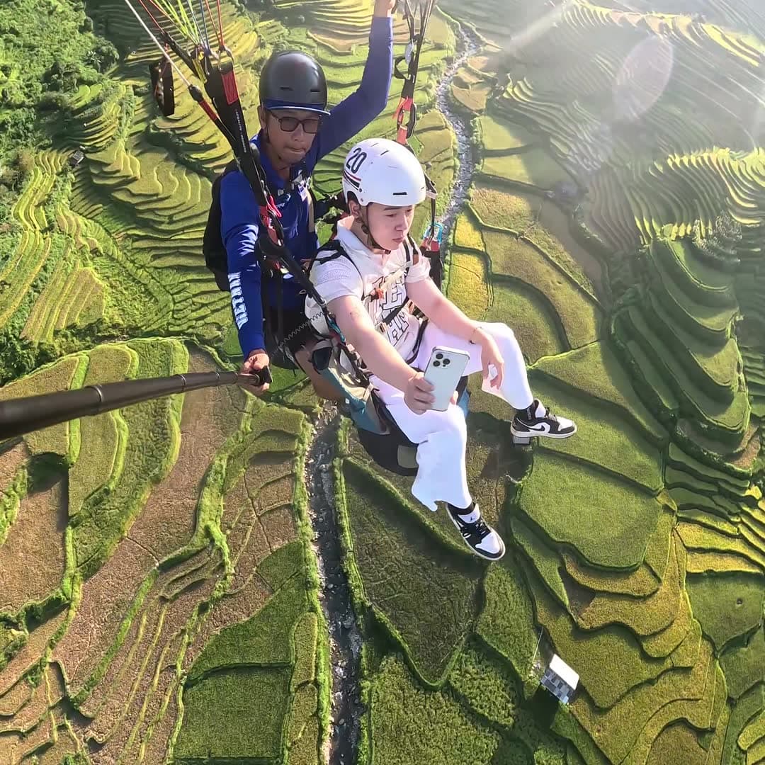
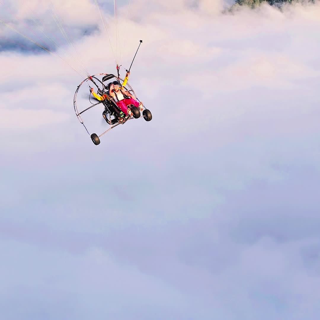
Moments ici
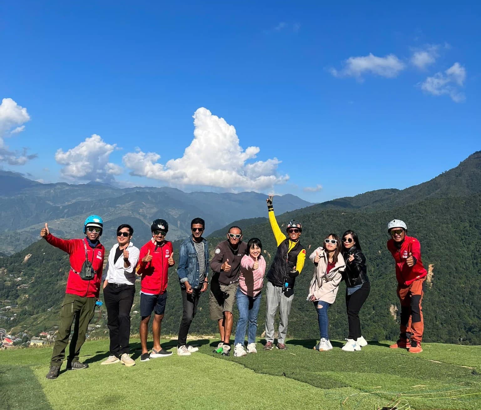
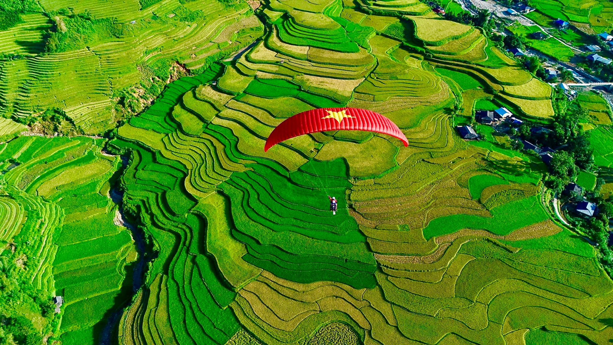
Histoires et Expériences
Écoutez les témoignages mémorables de nos passagers
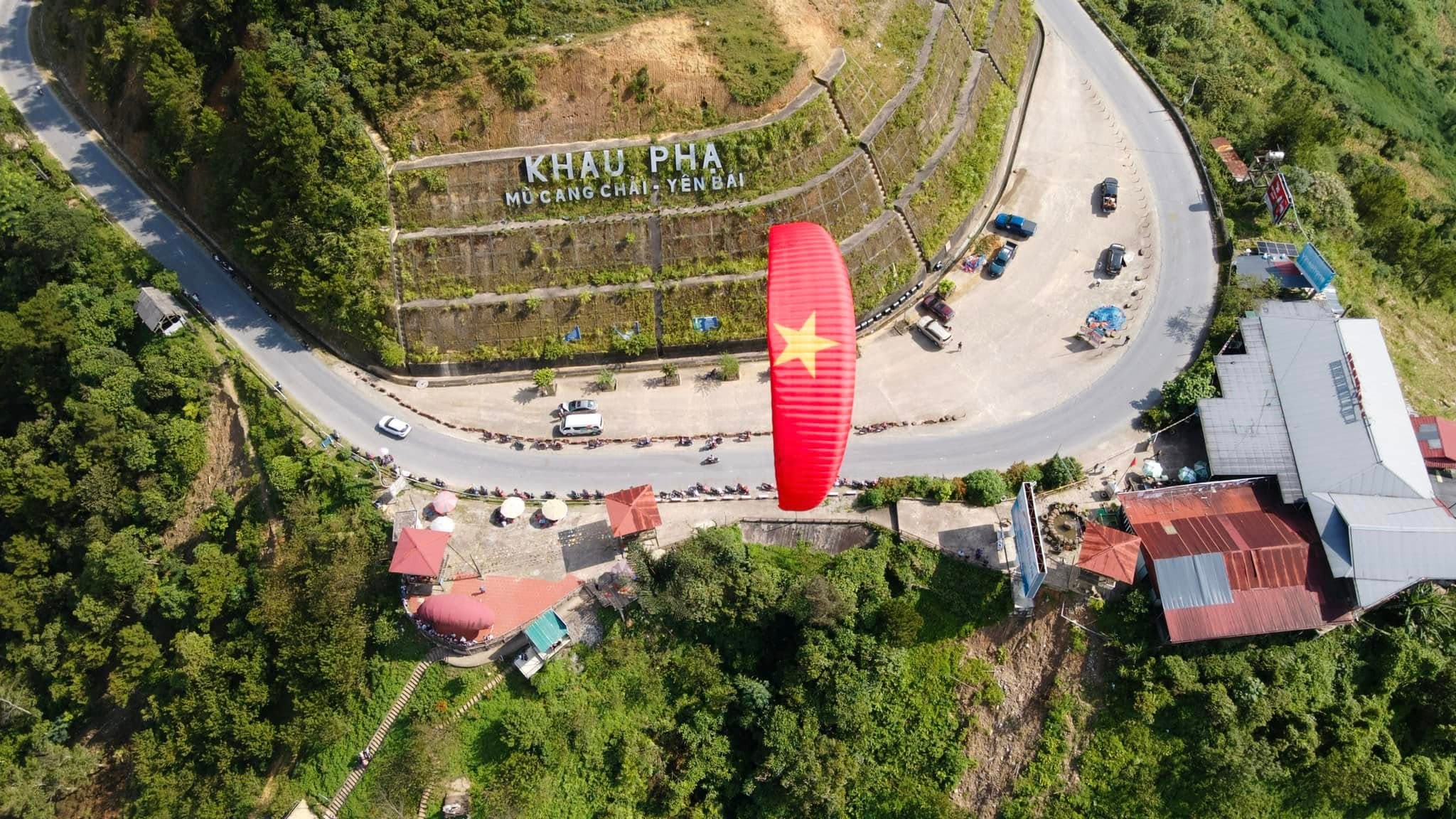
Le col de Khau Phạ, grandiose
Grand dénivelé, portance solide. La vallée de Mù Cang Chải dorée à nos pieds — excitation totale.
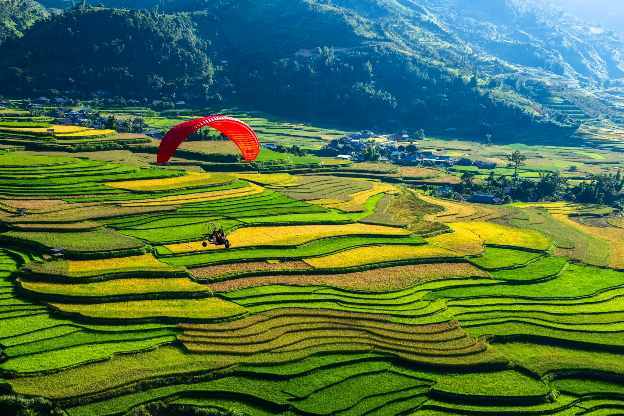
Saison des moissons
Toute la vallée devient un immense tapis doré. Une fois posé, on n’a qu’une envie : repartir.
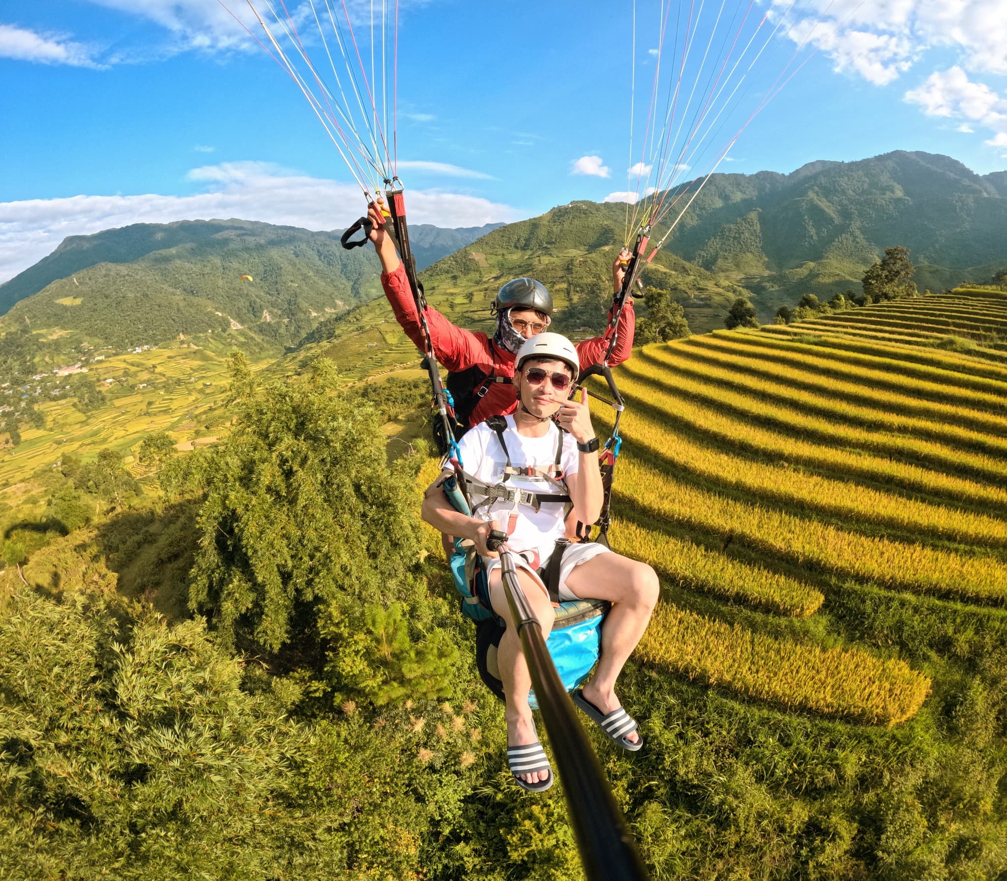
Du col jusqu’à la vallée
Décollage dégagé, vent propre ; équipe au sol pro — en l’air en un rien de temps.
Guides et articles Parapente : col de Khau Pha
Guides du site, technique de pilotage, tarifs et événements
