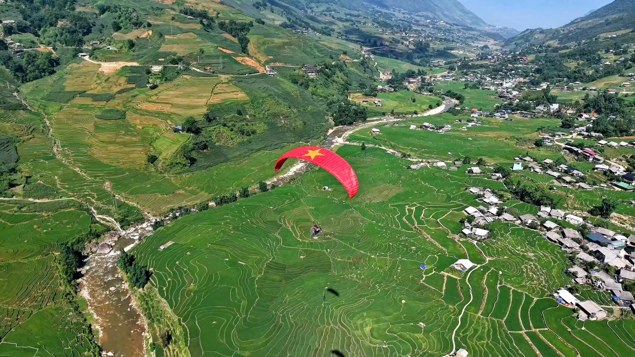
Survol de la Vallée de Mường Hoa
Nuages flottants – rizières en terrasses – Fansipan
- environ 1 500 m Altitude de décollage
- 8–15 minutes En l'air, selon le vent
Site de vol de Sa Pa – Muong Hoa
Infos rapides
Altitude de décollage
environ 1 500 m
Temps de vol
8–15 minutes
Sensation
Fluide et stable
Le site de vol de Sa Pa – Muong Hoa fait partie du réseau Mebayluon et il est exploité directement par l'équipe Sapa Paragliding. Horaires, prix et conseils pour le parapente à Sapa se trouvent sur le site de l'équipe de Sa Pa ; cette page n'en est qu'une courte présentation.
📌 L'ESSENTIEL :
Voler en sécurité avec Mebayluon
- Nos pilotes suivent une formation rigoureuse aux normes internationales (APPI & IPPI), sont titulaires d'un brevet de pilote biplace et cumulent les heures de vol requises et l'expérience de milliers de vols avant d'emmener des passagers.
- Matériel importé d'origine, conforme aux normes internationales — voile, sellette, parachute de secours, casque — vérifié avant chaque vol et contrôlé régulièrement.
- Nous ne volons que par météo sûre, selon les prévisions et l'avis du pilote sur place ; chaque vol comprend une assurance pour le passager.
Nous avons de nombreux autres sites magnifiques à travers le Vietnam
Le site de vol sur Google Maps
Plus d’infos sur ce site sur
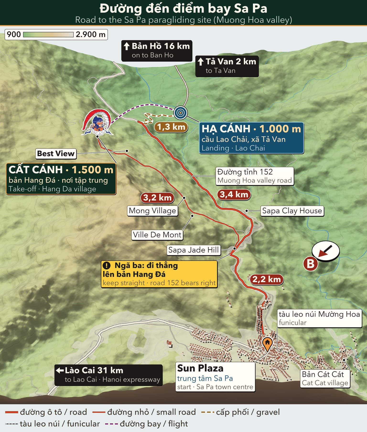
Carte d'accès
Touchez une carte pour l'ouvrir en grand.
La route du site de Sa Pa
3D travel map of Sa Pa
16 stops around Sa Pa town and the Mường Hoa valley, including the paragliding take-off and landing. Tap a stop to fly in; drag, rotate and zoom freely.
━━ road━━ trekking route━━ funicular · cable car━━ paragliding flight line
16 stops on the map
1 Sun Plaza & Square Town centre · Meeting point
The heart of Sapa: funicular station, town square, stone church and the paragliding pick-up point.
2 Ham Rong Mountain Behind the stone church · On foot
A limestone mountain beside the town centre: climb past gardens, a stone forest and Heaven's Gate to a view over Sapa.
3 Moana Sapa Violet road · Photo park
A tropical-island-style photo park on Violet road, looking straight out over Muong Hoa Valley.
4 Fansipan Roof of Indochina · 3,143 m · far stop — zoom out to see it
Reach the Roof of Indochina by funicular and cable car from Sun Plaza, or trek 1–2 days from Tram Ton.
5 Cat Cat Village Hmong village · Close to town
The Hmong village closest to town: walk down a stone path past water wheels to Cat Cat waterfall.
6 Hang Da Take-off Sapa Paragliding · Take-off
Where the flight begins: check-in counter, covered waiting area and a grass launch facing Muong Hoa Valley.
7 Lao Chai Landing Black Hmong village · Landing
A Black Hmong village on the floor of Muong Hoa Valley, where gliders land in the fields and the walk to Ta Van begins.
8 Ta Van Village Muong Hoa Valley · Village
A Giay village on the Muong Hoa stream: homestays, the ancient rock field nearby, and the usual end of the one-day trek.
9 Ban Ho & Hot Spring End of Muong Hoa Valley · Tay village · far stop — zoom out to see it
A Tay village at the far end of Muong Hoa Valley, with a hot mineral spring in Ban Den hamlet – the finish of the long trek.
10 Seo My Ty Lake Above Ta Van · Mountain lake · far stop — zoom out to see it
A hydropower reservoir more than 1,600 m up above Ta Van, at the end of a steep, winding road – for confident riders.
11 Ta Phin Village North of town · Red Dao village · far stop — zoom out to see it
A Red Dao village north of Sapa, known for hand-embroidered brocade, herbal baths and the ruins of a stone monastery.
12 Silver & Love Falls Road QL4D · Waterfalls · far stop — zoom out to see it
Silver Waterfall sits beside road QL4D; Love Waterfall is a 30-minute forest walk into Hoang Lien – both on the same road.
13 O Quy Ho Pass Road QL4D · Mountain pass & viewpoint · far stop — zoom out to see it
A pass of nearly 50 km linking Lao Cai and Lai Chau across the Hoang Lien Son range – a place for sunsets and cloud seas.
14 Rong May Glass Bridge O Quy Ho Pass · Glass bridge & thrill games · far stop — zoom out to see it
An outdoor glass lift takes you up to a glass walkway reaching out from the cliff at about 2,200 m.
15 Best View Sapa Cau May ward · Viewpoint
A hillside check-in spot at about 1,600 m, looking down on Muong Hoa Valley and Ta Van, close to the paragliding take-off.
16 Muong Hoa funicular Sun Plaza → Muong Hoa station · Funicular
A ride of about 6 minutes from the station inside Sun Plaza to the Fansipan cable car station, through tunnels and over viaducts above Muong Hoa Valley.
Moments ici


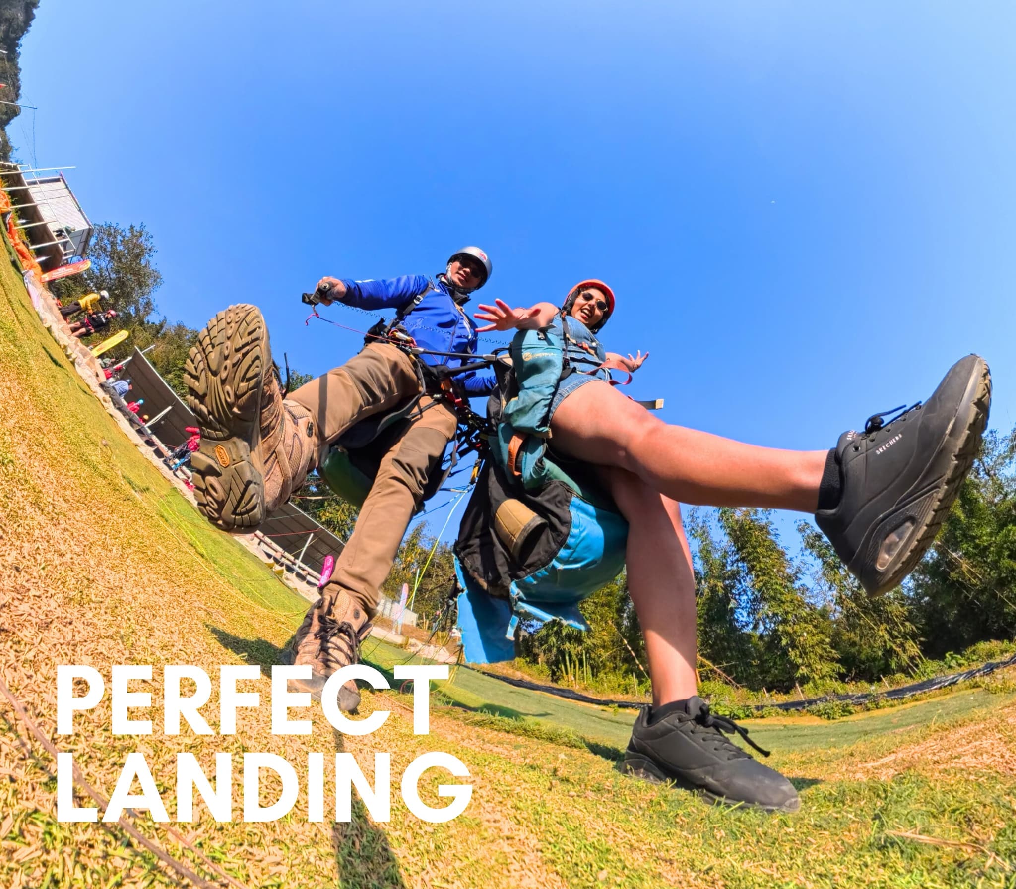
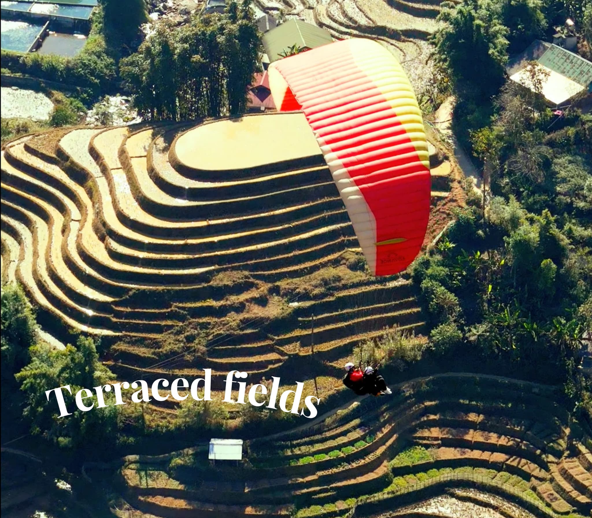
Histoires et Expériences
Écoutez les témoignages mémorables de nos passagers
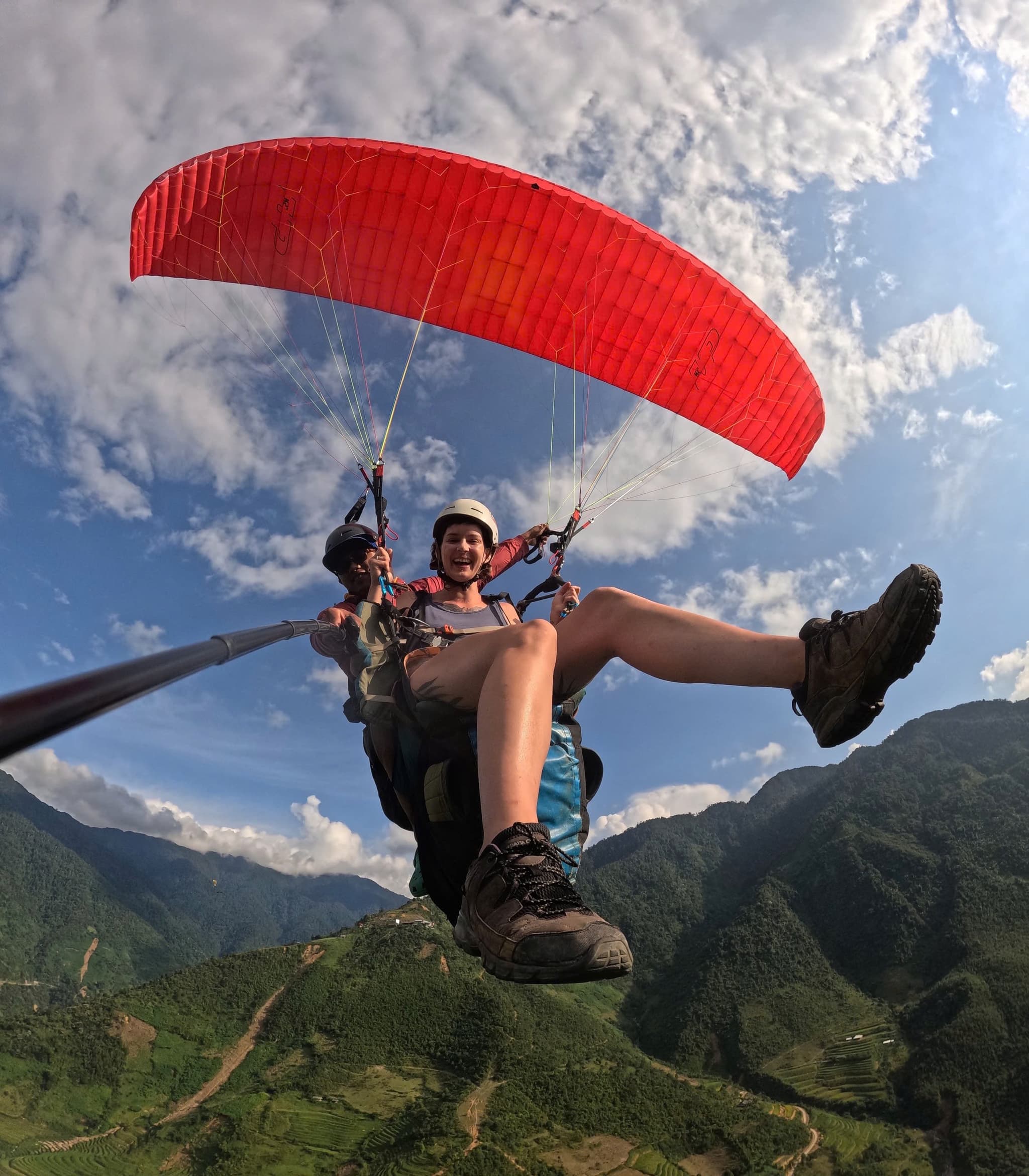
Au-dessus de la vallée de Mường Hoa
La trajectoire longe la vallée, rizières en terrasses et Fansipan au loin. Plus haut, on frôle une fine couche de nuages — tout l’esprit de Sa Pa.
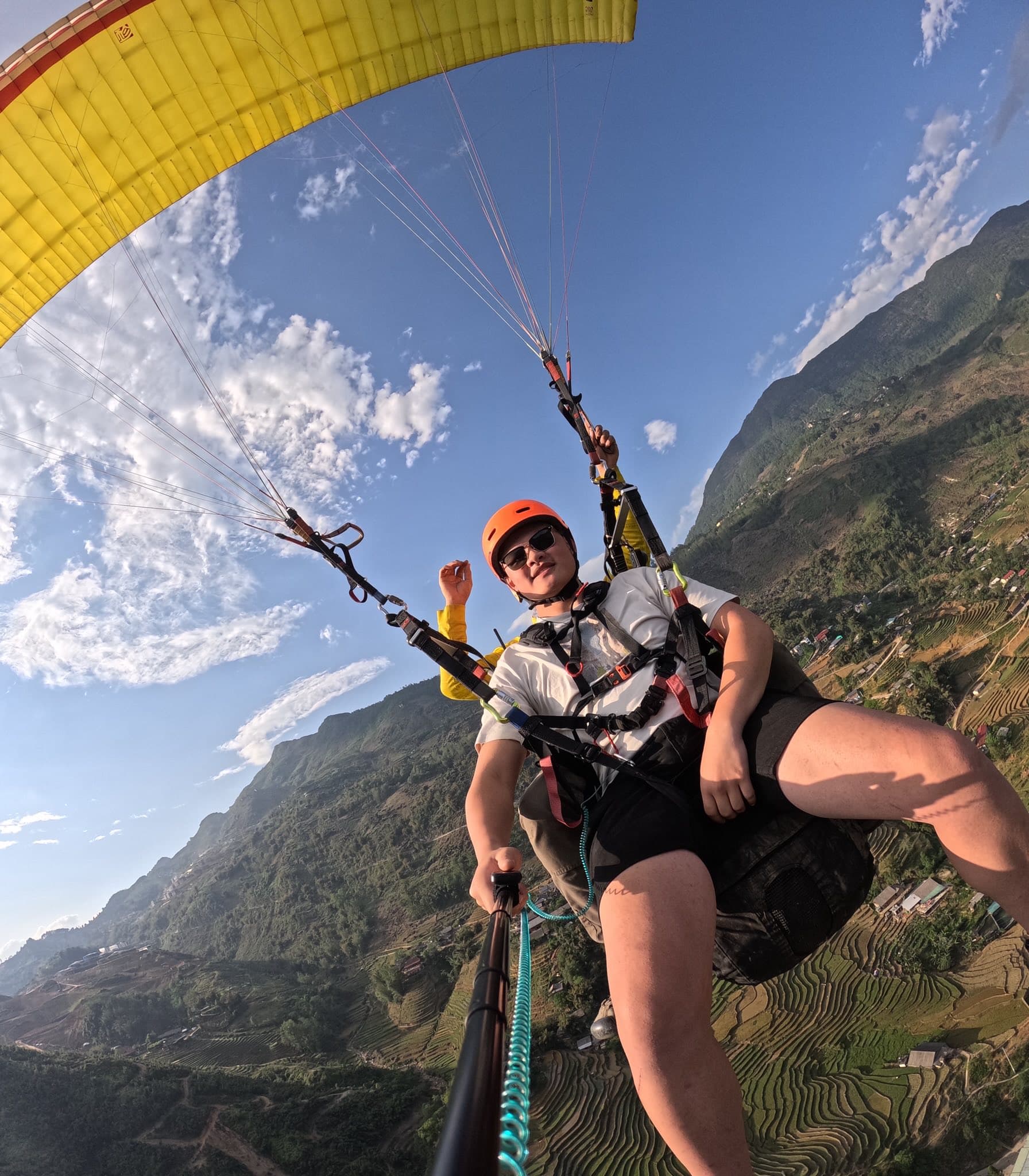
Givre et rayon de soleil
Matin mordant mais air stable. Quand le soleil perce, le givre fond et révèle villages et terrasses scintillants.
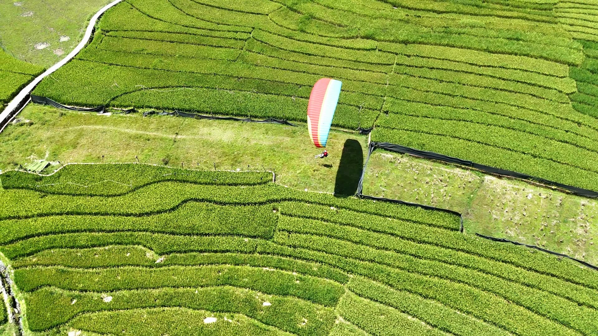
Atterrissage à Mường Hoa
Posé au milieu des jeunes rizières, des enfants accourent en faisant signe — souvenir inoubliable.
Guides et articles Parapente : vallée de Muong Hoa (Sapa)
Guides du site, technique de pilotage, tarifs et événements
