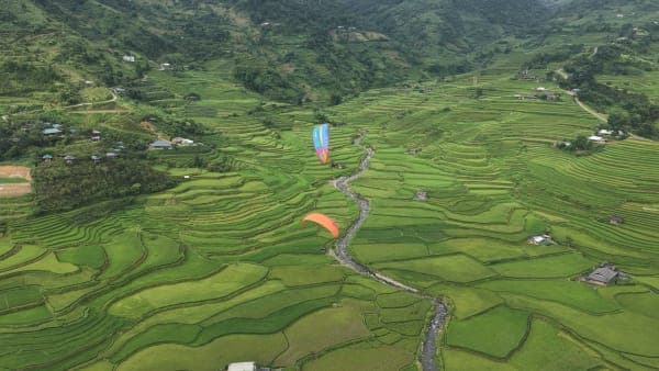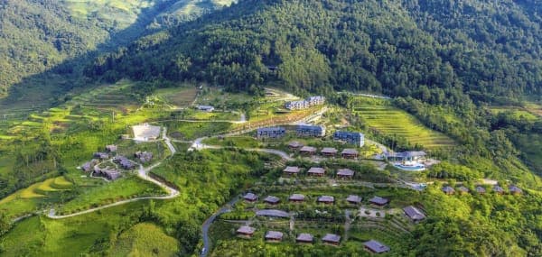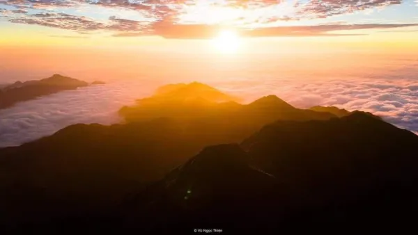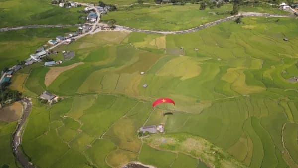
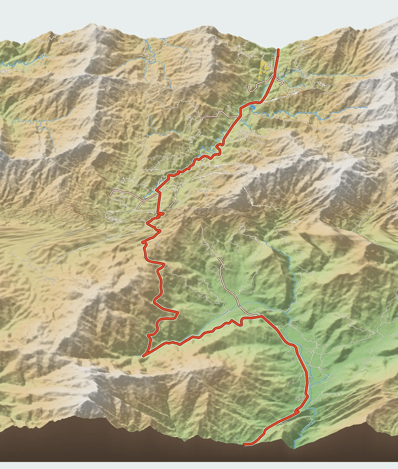
Stop 16 on Mebayluon's check-in map is the centre of Mù Cang Chải xã (commune), formerly the district town. This post covers only that centre and the Thái community-tourism village right next to it: where it is, what is there, and why it makes a good base for the viewpoints around the commune. For the whole route from Tú Lệ over Khau Phạ Pass, read Mù Cang Chải Travel Map: 18 Stops from Tú Lệ to Khau Phạ.
Mù Cang Chải is now a commune
Since 1 July 2025, following the reorganisation of administrative units under Resolution 1673/NQ-UBTVQH15, Mù Cang Chải district and town no longer exist. The former town and the three communes of Kim Nọi, Mồ Dề and Chế Cu Nha were merged into Mù Cang Chải commune, in Lào Cai province (formerly part of Yên Bái before the provinces were merged). So Kim Nọi, the Mồ Dề bamboo forest and Horseshoe Hill (Vành Móng Ngựa) in Sáng Nhù village now all lie in the same commune as the centre.
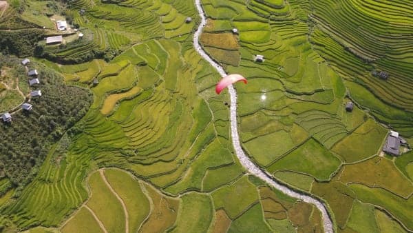
The spots further east belong to other communes. La Pán Tẩn (Mâm Xôi hill), Dế Xu Phình (Dinosaur Spine) and Púng Luông (Ngã Ba Kim and the Púng Luông bamboo forest) are now Púng Luông commune. Tú Lệ and Cao Phạ, home to Lìm Thái village, Lìm Mông village and the paragliding landing field, are now Tú Lệ commune. The Khau Phạ Pass paragliding site is therefore not in Mù Cang Chải but more than 30 km of mountain road from its centre, on the Tú Lệ side.
What the centre offers
The centre stretches along QL32 beside the Nậm Kim stream, at about 950 m according to our map data, well below the surrounding terraced hills. It is the best-served place in the area: market, guesthouses, homestays, restaurants and a petrol station. If you are on a motorbike, fill up here before heading up the side roads.
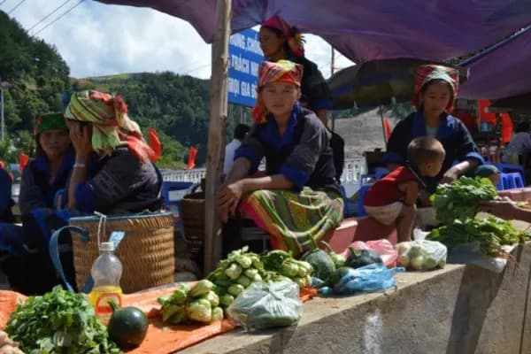
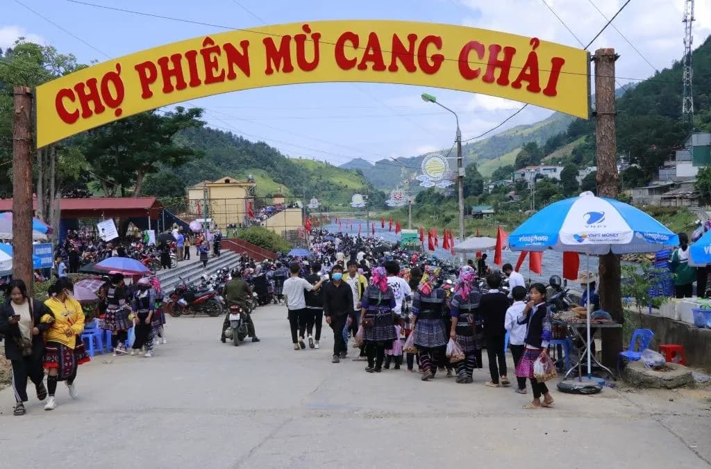
The market in the centre is the largest and busiest in the area: besides people from the surrounding villages, traders come in from elsewhere. It runs on market days, with the busiest usually at the weekend, and it is at its most beautiful early in the morning while mist still covers the hillsides. Hmong (Mông), Thái and Dao people in traditional dress bring maize, sweet potatoes, wild greens, brocade and rattan baskets; food stalls sell grilled meat, five-colour sticky rice (xôi), corn cakes, cơm lam (rice cooked in bamboo tubes), bitter bamboo shoots and cups of corn liquor. On holidays such as Independence Day (2 September), the commune also holds a highland fair at the central stadium, with stalls of farm produce, brocade and jewellery from the villages. Market schedules can change, so ask where you are staying.
Khim Nọi Thái village: community tourism in the centre
Right in the centre is Khim Nọi village, residential group no. 5 of the former town, with more than 80 households, almost all Thái (the Thai ethnic group of Vietnam). At the end of 2020 the village was recognised as the Khim Nọi Homestay Community-Tourism Cultural Village, and it later earned a 4-star OCOP rating. About half of the households are registered as homestays, mostly in wooden stilt houses.
A new road links the village directly to QL32, so cars can drive right in. Coming up from Nghĩa Lộ and Tú Lệ, the village is on the left of the road, in the middle of the valley: neat, spacious stilt houses backing onto the mountain, with rice fields in front.
You come here to sleep in a stilt house, eat with a Thái host family, and watch xòe dancing, the bamboo dance and folk singing when a group has booked a performance. The village also sells farm produce and brocade and lets visitors try their hand at farming. Do not confuse Khim Nọi village with Kim Nọi, the rice-terrace viewpoint on the mountainside to the south: some articles spell the village's name “Kim Nọi”, so double-check when booking.
Besides a night in a stilt house, visitors often choose a herbal bath based on Thái remedies, an evening campfire with the locals, and a bike ride along the paddy banks. Village meals typically include five-colour sticky rice, black bánh chưng (sticky-rice cake), grilled stream fish and smoked buffalo meat. Stilt houses offer both shared sleeping areas and private rooms; indicative prices are about 120,000–250,000 VND per person per night, and a herbal bath about 30,000 VND per person, so check again when booking.
Why stay here
From the centre, many of Mù Cang Chải's famous viewpoints are only a few kilometres away. The distances below are road distances from Mebayluon's map data, rounded:
- Horseshoe Hill (Vành Móng Ngựa): about 2 km, best in the afternoon light.
- Kim Nọi: the side road leaves the highway right in the centre and climbs about 4 km.
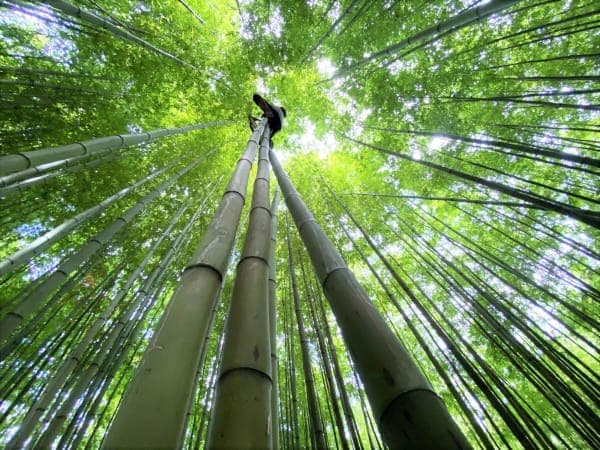
- Mồ Dề bamboo forest: about 4 km, with a steep final stretch.
- Garrya Mù Cang Chải and Dinosaur Spine (Sống Lưng Khủng Long): about 10 km each.
- Big Mâm Xôi hill: about 12 km.
- Ngã Ba Kim about 17 km; Púng Luông bamboo forest about 21 km.
The side roads up to the viewpoints are narrow and steep, and very slippery after rain; if you are not used to mountain roads, hire a xe ôm (motorbike taxi) from a local villager.
Tớ dày blossom season
Tớ dày (wild Himalayan cherry), which the Hmong call pằng tớ dảy, grows above 1,000 m. It usually blooms from around mid-December to the end of January, some years into February, just as the Hmong prepare for the new crop. By then the terraces have been harvested, but the slopes around the commune and some stretches of street turn pink, and there are far fewer visitors than in rice season.
Rice seasons
The terraces around the centre are flooded around May–June (the water-pouring season, when the terraces are flooded for planting) and turn golden from around mid-September to early October. On golden-season weekends, rooms in the centre and in Khim Nọi village fill up very early, so book ahead.
How far is the Khau Phạ paragliding site?
The paragliding site is on Khau Phạ Pass, on the Tú Lệ side. From central Mù Cang Chải commune to the take-off is about 33 km along QL32, roughly 50 minutes' drive; to the landing field and Mebayluon Clubhouse in Lìm Thái village is about 44 km, roughly 70 minutes.
If you want to fly early in the morning, you can spend the night at Mebayluon Clubhouse right by the landing field and go on to Mù Cang Chải afterwards. If you stay in Mù Cang Chải, plan your departure time to allow enough time to cross the pass. Prices, flying times and bookings are on the Khau Phạ Pass paragliding page.
Getting there
The centre lies right on QL32. Coming from Tú Lệ, you cross Khau Phạ Pass, pass Ngã Ba Kim and the La Pán Tẩn area, and you are there: about 46 km from Tú Lệ market, roughly 70 minutes' drive. The highway continues northwest to Than Uyên and Lai Châu.
FAQ
Is Mù Cang Chải still a town?
No. Since 1 July 2025, the former town and the communes of Kim Nọi, Mồ Dề and Chế Cu Nha have been merged into Mù Cang Chải commune, in Lào Cai province.
Is there a paragliding site in Mù Cang Chải?
No. The flying site is on Khau Phạ Pass on the Tú Lệ side, about 33 km from central Mù Cang Chải commune to the take-off and 44 km to the landing field.
Should I stay in the centre or in Khim Nọi village?
For easy transport and plenty of eateries, stay in the centre; to sleep in a stilt house and eat with a Thái family, stay in Khim Nọi village. The two are right next to each other, so both are convenient for the viewpoints.
Previous and next stops on the route
- Previous stop: Mồ Dề bamboo forest.
- Next stop: Horseshoe Hill (Vành Móng Ngựa), about 2 km.
- The whole route: 18 stops, distances, best seasons and a dedicated post for each in Mù Cang Chải Travel Map: 18 Stops from Tú Lệ to Khau Phạ.