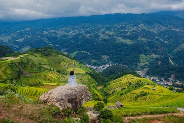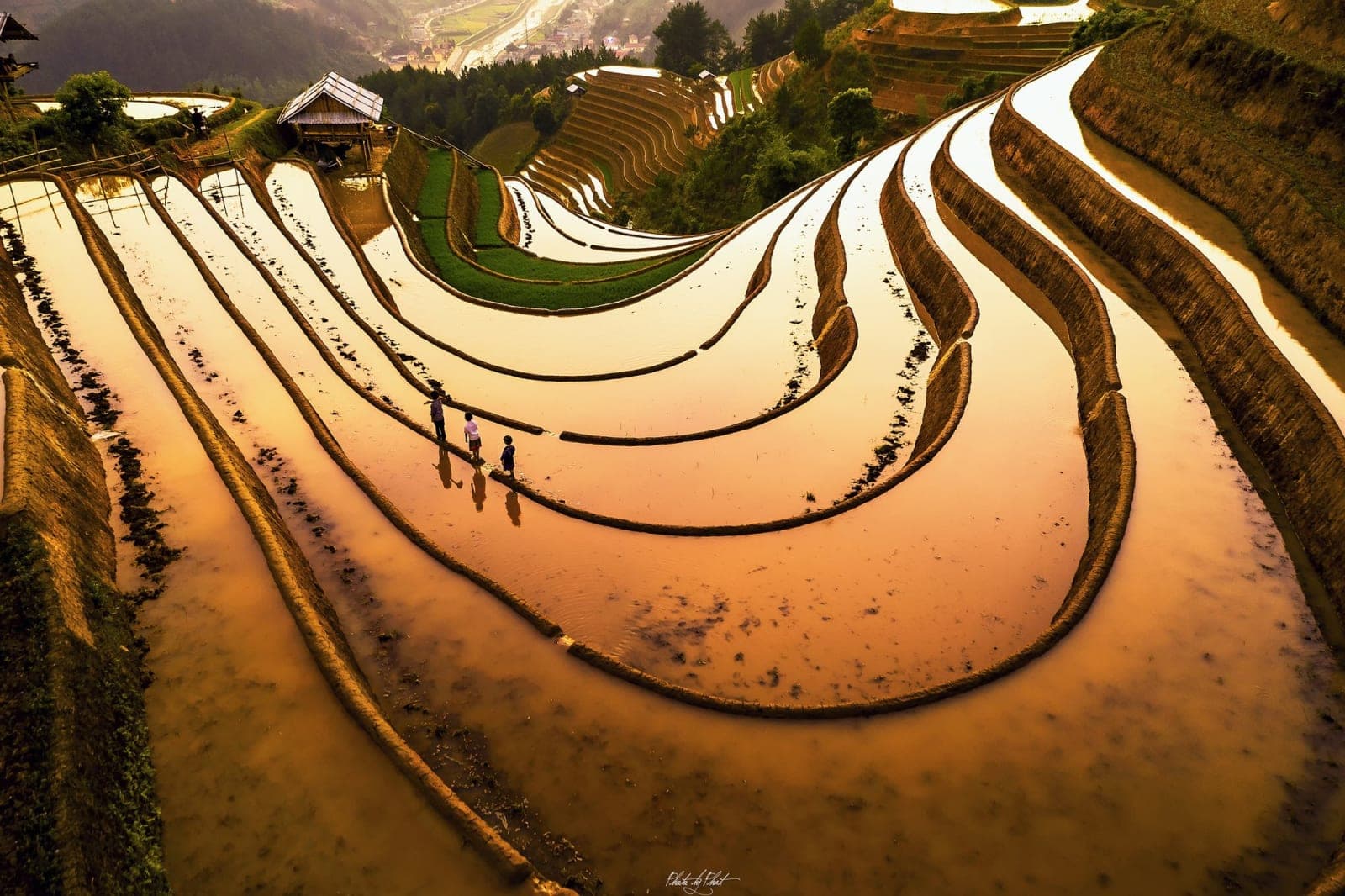
Mâm Xôi is a circle; Móng Ngựa is an arc: rice terraces curving around the hillside and closing in on themselves like a horseshoe. Some visitors even say they like it more than Mâm Xôi. On Mebayluon's check-in map, it is stop number 17, listed under the name “Vành Móng Ngựa”.
Where is Horseshoe Hill?
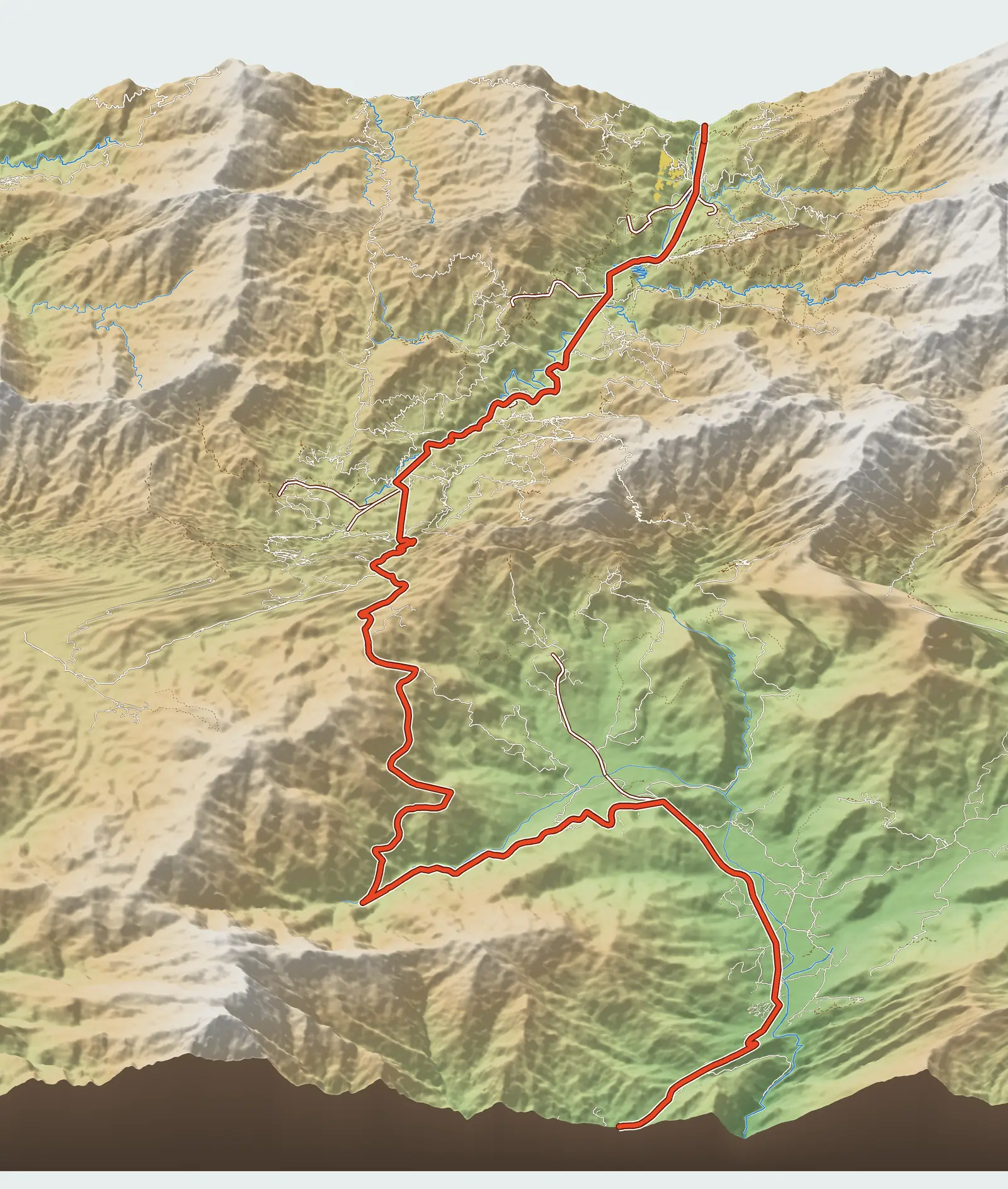
The hill is in bản (village) Sáng Nhù, in the former Mồ Dề commune, just above Mù Cang Chải town and about 2 km from the centre. According to map data, the viewpoint sits at about 1,210 m, roughly 250 m above town. On Google Maps it is labelled “Võng Lúa (Móng Ngựa)”.
One easy mix-up: OpenStreetMap also shows a viewpoint called “Móng ngựa Lao Chải”, out towards Lao Chải, more than 6 km west of town as the crow flies. That is a different hill. The spot on our map is the hill at Sáng Nhù, the one usually mentioned in articles about Mù Cang Chải.
The road up from National Road 32
The turn-off is at Km 47.3, just a few hundred metres before Mù Cang Chải market if you come from Tú Lệ. From the highway the road climbs about 1.7 km. It used to be gravel and dirt and is now concreted, but many sections are still steep. VnExpress mentions two ways up, one from town and one from the Mồ Dề side; our map shows the shortest route to the highway.
A manual motorbike can make it if you are a confident rider. If you are not used to steep roads, leave your bike in town and hire a xe ôm (motorbike taxi); the distance is short, so it does not take long.
Why arrive around 4 pm
Travel guides are almost unanimous: Móng Ngựa is at its best in the afternoon sun, around 4 pm. The low, slanting light leaves each terrace half lit and half in shadow, and the curve of the horseshoe stands out most clearly. Báo Lào Cai (the Lào Cai newspaper) also lists it as the sunset viewpoint in its one-day Mù Cang Chải itinerary.
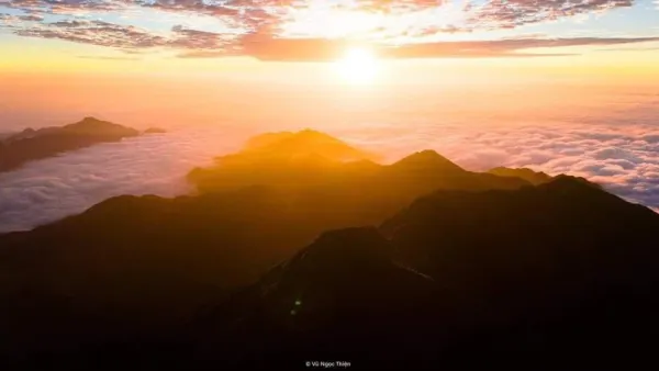
The place to shoot from is the high point looking down on the ring of terraces. Besides the horseshoe itself, on a clear day you can also see clouds and distant mountain ranges.
Best seasons
Water-pouring season (when the terraces are flooded for planting) is May–June; the golden season runs from mid-September to early October. Some guides even suggest coming before the harvest, while the rice is still young and green: the curves of the terraces are just as clear and there are far fewer visitors.
Practical tips
- There is an entrance fee; sources quote different amounts, so we do not give a figure.
- The afternoon light fades fast. Be there before 4 pm and head down before it gets fully dark.
- Use a low gear on the concrete descent; the road is narrow, so give way to vehicles coming up.
- Golden-season weekends are very crowded; weekdays are much more pleasant.
Combine it with a paragliding flight
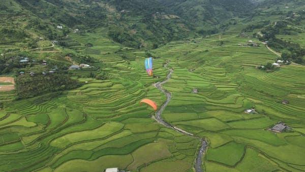
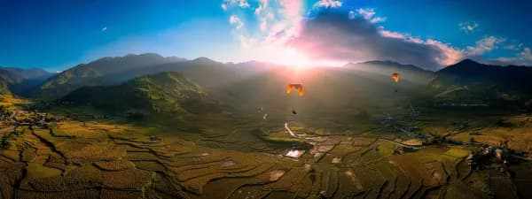
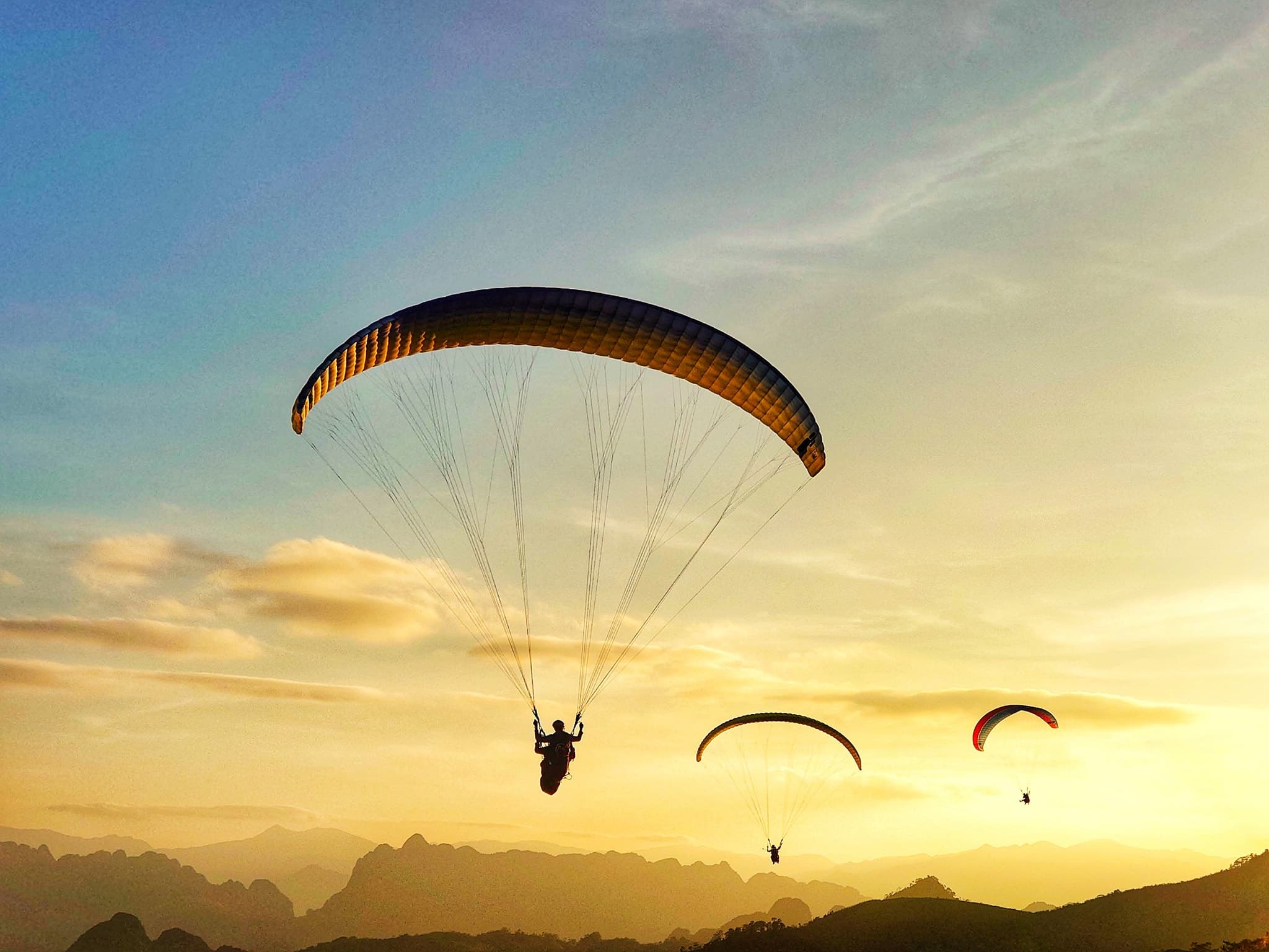
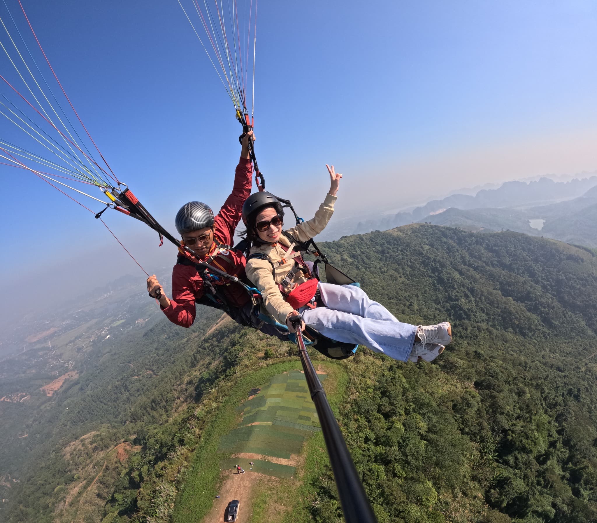
Móng Ngựa is at the opposite end of the route from the Khau Phạ paragliding site: it is almost 34 km from the take-off, more than an hour by car. The most sensible two-day plan is to fly at Khau Phạ on day one, make your way to town and stay the night, then go up Móng Ngựa for the late-afternoon light on day two before heading back.
Previous and next stops on the route
- Previous stop: central Mù Cang Chải commune and the Thái village of Khim Nọi, 1.2 km away by map distance.
- Next stop: Kim Nọi, 2.7 km away by map distance.
- The whole route: 18 stops, distances, best seasons and a dedicated post for each in Mù Cang Chải Travel Map: 18 Stops from Tú Lệ to Khau Phạ.