Kim Nọi is the last stop, number 18, on Mebayluon's Tú Lệ – Khau Phạ – Mù Cang Chải check-in map. It is also the spot for those who have already seen Mâm Xôi and Móng Ngựa and want somewhere quieter.
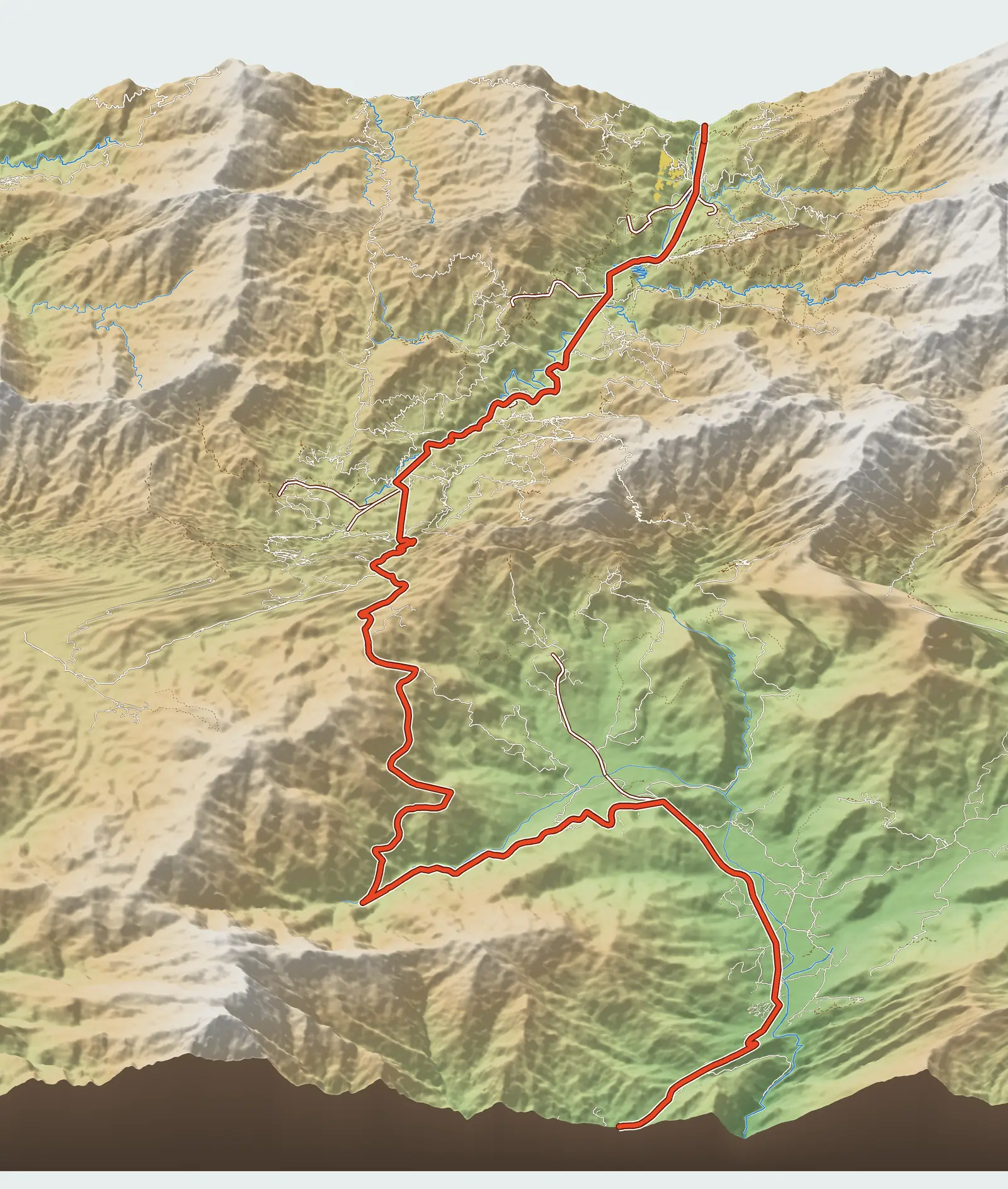
Where is Kim Nọi?
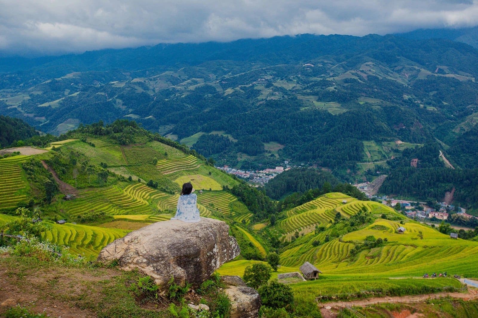
Kim Nọi is the name of a bản (village) and also of a former xã (commune), on the mountainside south of Mù Cang Chải town. The viewpoint mentioned in press articles is a high rock outcrop looking down over a whole valley of rice terraces. The Google Maps pin we use, “Kim Noi Viewpoint”, sits at about 1,240 m, nearly 300 m above town.
The road up
According to the map, the side road leaves QL32 right in the town centre and climbs about 3.9 km to the pin. VnExpress and Báo Lào Cai (the Lào Cai newspaper), however, put Kim Nọi about 8 km from the town market. We have not measured it ourselves to explain the gap: the rock in those articles may lie beyond our pin, or they may follow a longer route. To be safe, plan on the longer figure.
What the sources agree on: the road is concreted, easy by motorbike, and small 5–7-seat cars can get up too, though passing is tricky; the last stretch is a walk of about 300 m to the rock. Counting the way up, the way down and time spent taking in the view, set aside a full morning for Kim Nọi.
What you see from the top
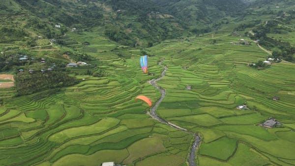
From the rock, the rice terraces unfold in layer after layer of rolling waves, what photographers call “võng lúa” (rice hammocks). Unlike Mâm Xôi and Móng Ngựa, there is no single standout shape to name here; the beauty lies in the sheer breadth and the repeating rhythm of the curves. Because it is quiet, you can sit for a long time without having to give up your spot.
On the rock, step back from the edge when taking photos, especially when the stone is wet.
Best seasons and time of day
Water-pouring season (when the terraces are flooded for planting) is May–June, and the golden season runs from mid-September to early October. The sources do not name a best time of day specifically for Kim Nọi. From general experience with rice terraces, the slanting light of early morning and late afternoon brings out the terraces better than the overhead midday sun; if you have saved the afternoon for Móng Ngựa, morning is the right time to come up here.
Practical tips
- If you come by car, stop at a wide spot and do not push further in: the road is narrow and turning around is hard.
- Wear shoes with good grip for the 300 m walk and the rock surface.
- We have not seen any source mentioning an entrance fee here.
- For food and fuel, head back to Mù Cang Chải town.
Combine it with a paragliding flight
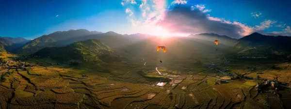
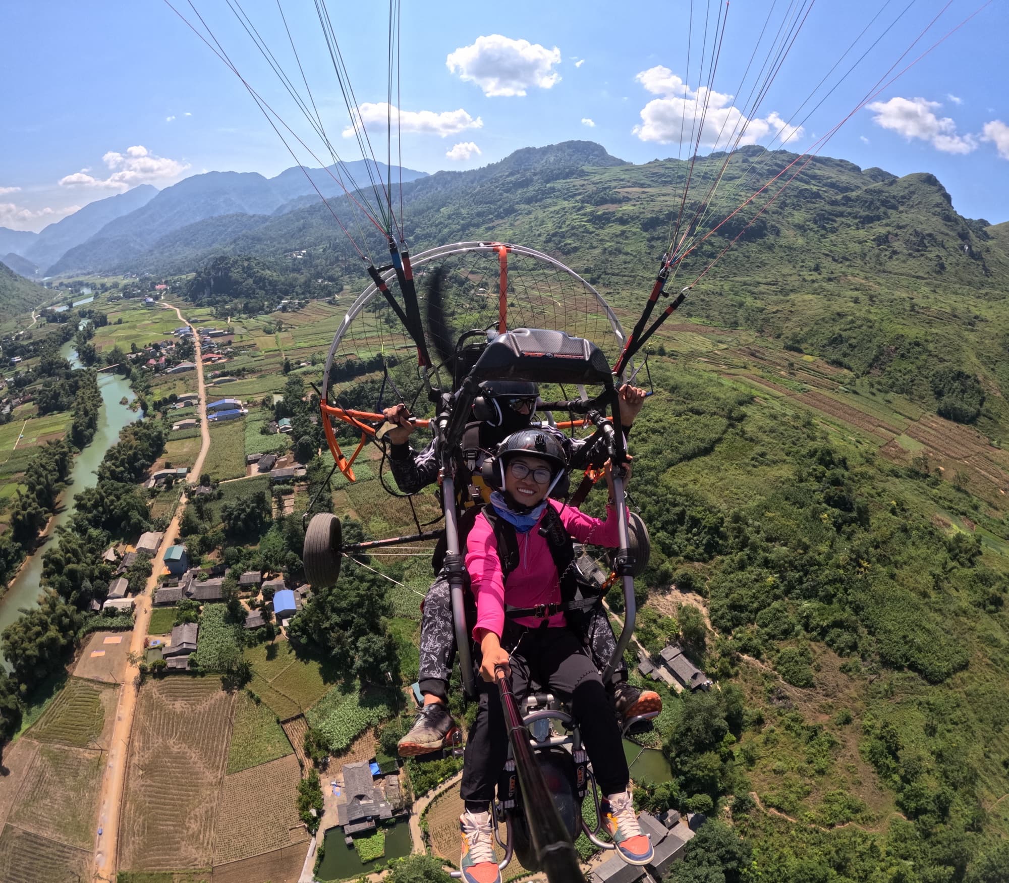
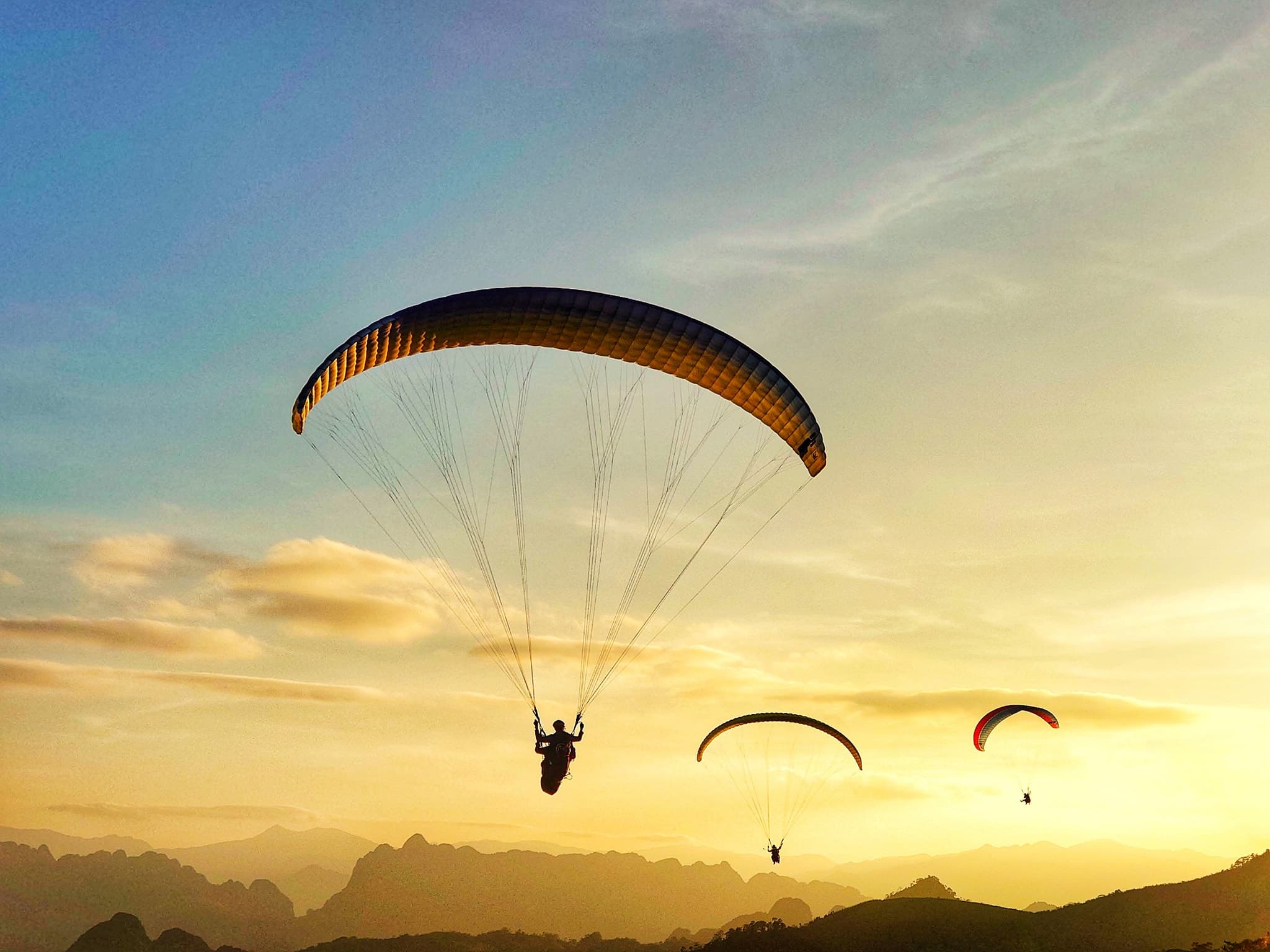
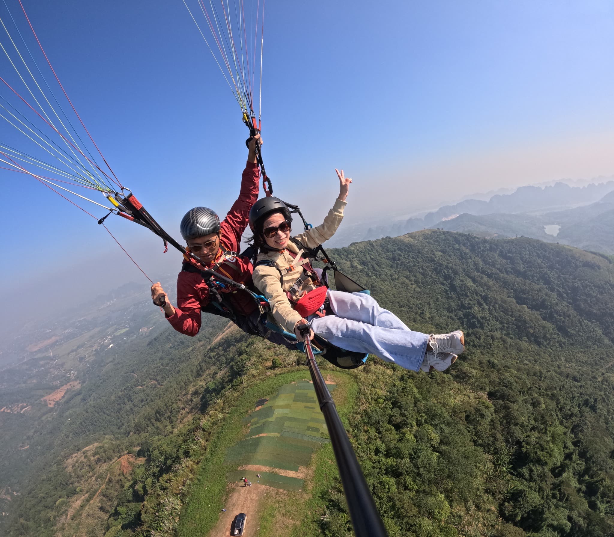
Kim Nọi and the Khau Phạ paragliding site are at opposite ends of the route: from the take-off to town is more than 32 km of highway, before you even reach the turn-off up here. So plan them on separate days. One way to cover the whole map: day one, Tú Lệ, a paragliding flight and Cao Phạ valley; day two, over the pass to the bamboo forest and Mâm Xôi; day three, Kim Nọi in the morning, then head back.
Previous and next stops on the route
- Previous stop: Horseshoe Hill (Móng Ngựa), 2.7 km away by map distance.
- The whole route: 18 stops, distances, best seasons and a dedicated post for each in Mù Cang Chải Travel Map: 18 Stops from Tú Lệ to Khau Phạ.