Of the 18 stops on the Tú Lệ – Khau Phạ – Mù Cang Chải check-in map, Lùng Cúng is the only one you cannot just "pop into". It is a mountain you climb on foot, usually over two days and one night. We still put it on the map because the turn-off towards it is right in Tú Lệ, and because it is the most talked-about peak around Tú Lệ.
Where is Lùng Cúng and how high is it?
Lùng Cúng rises to 2,913 m in Nậm Có commune, in the Hoàng Liên Sơn range. The peak takes its name from Lùng Cúng village, tucked deep below the mountain. Sources disagree on its ranking: the Lào Cai newspaper puts it among Vietnam's 15 highest peaks, while one travel site ranks it 11th. All sources agree on the 2,913 m figure, which matches OpenStreetMap data.
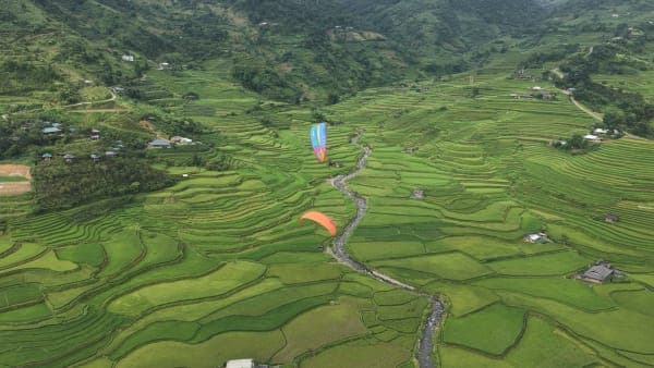
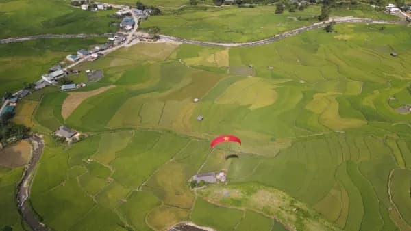
As the crow flies, the peak is more than 14 km north of the Cao Phạ valley, where Khau Phạ paragliding flights land.
Getting there from National Road 32
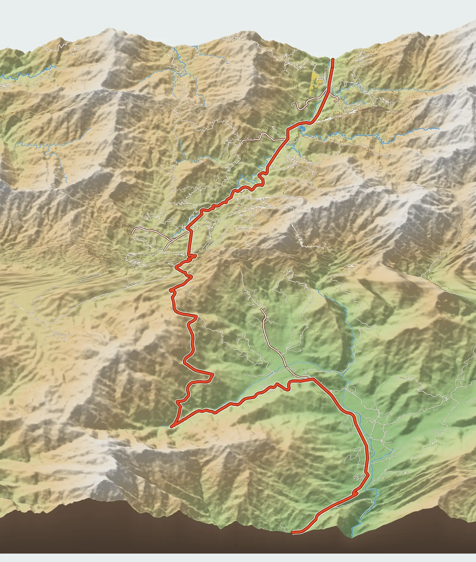
The turn-off is right by Tú Lệ market, at Km 1.4 on the map. From there the road heads north through the centre of Nậm Có commune, then swings west and climbs gradually to the highland villages. According to map data, it is 15.3 km from the main road to the trailhead, climbing from about 660 m to about 1,650 m. This matches the Lào Cai newspaper's description: 15 km of rough rocky road from Tú Lệ to the starting point in Tu San village. Tuổi Trẻ newspaper describes the last 12–13 km as steep and slippery, with many stretches where you have to get off and walk.
There are three routes to the summit: from Tu San village, from Lùng Cúng village and from Thào Chua Chải village. Our map shows the first, following the trail on OpenStreetMap. We inferred the name of the village at the trailhead from distances and have not verified it on the ground, so the map simply says "trailhead".
Itinerary and scenery along the way
From the trailhead to the summit, the OpenStreetMap trace is about 4.3 km long and gains nearly 1,300 m – in other words, it is uphill almost the whole way. The Lào Cai newspaper gives the total distance of the trip as about 20 km, or 28 km if you loop through the Tà Cua Y valley; the difference depends on the route and where you start counting, so check carefully with your guide.
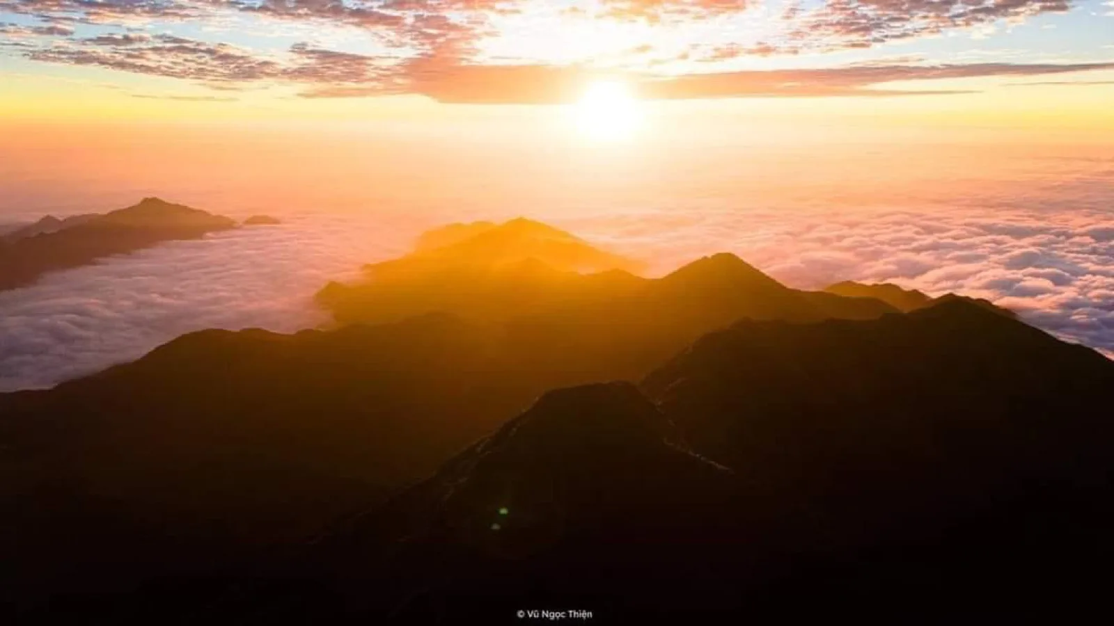
The usual itinerary is two days and one night, sleeping in local people's wooden huts in the forest at around 2,000 m. Along the way you pass reed-grass hills, ancient chestnut forest, bamboo forest, maple forest, rhododendrons and old moss-covered táo mèo (wild hawthorn apple) trees. The summit is open on all sides, so on a good day you can watch both sunset and sunrise over the sea of clouds. Trekkers typically rate this route 9/10 for scenery and 5/10 for difficulty.
When to go
The dry season, roughly October to April. Late November to New Year's Day is red maple season; early spring brings peach blossom, followed by rhododendrons; September–October often brings clouds and coincides with the golden season in the valleys below. Avoid May–August: heavy rain, slippery trails, landslides and overgrown paths. The summit is much colder than the valley; one trip report recorded just 7–8°C in mid-morning.
Lùng Cúng peach blossom
Lùng Cúng hamlet at the foot of the mountain is known as the land of peach blossom. Around Tết (Lunar New Year), wild peach trees blaze pink-red across the hillsides, mixed with white plum blossom; after Tết it is the turn of the white sơn tra (táo mèo) blossom. Lùng Cúng peach is a fairly expensive variety, much sought after for Tết: thick, sturdy branches, large flowers and deep, beautiful colour.
The hamlet has 219 households and over 1,300 residents, all Hmong (Mông), living mainly from black cardamom, táo mèo and livestock; the houses are still old Hmong wooden homes. In the Tết blossom season of 2026 (the Year of the Horse), just after the hamlet got a phone signal and photos of its peach orchards spread online, about 5,000 visitors made their way in to see the flowers. Some families offer makeshift beds, and those with the prettiest gardens charge a fee to take photos.
Access is the biggest obstacle. From the centre of Nậm Có commune to the hamlet is about 25 km of unpaved mountain road: in dry weather only motorbikes can make it, in the rainy season it is slippery, and some landslide sections must be walked. At Tết 2026, a xe ôm (motorbike taxi) from Tú Lệ to the hamlet and back cost about 800,000–1,000,000 VND per trip. If you want to see the blossom, pick a dry, sunny day and go with a local who knows the road.
Practical tips
- Go with a local guide and porters. Groups usually hire one to three people depending on group size; they take care of the hut, cooking and water.
- The road to the village is rough in its second half: use a manual (geared) motorbike and a rider used to mountain roads; low-clearance cars should not attempt it.
- Hiking boots with good grip, a raincoat, a headlamp and warm clothes for the night in the hut.
- Carry your rubbish back down. The forest up here is still intact precisely because few people go.
Where to stay before and after the trek
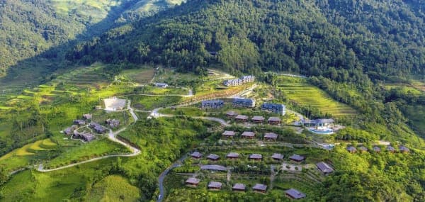
Most trekkers sleep around Tú Lệ market, near the turn-off to Nậm Có. Another option is the Mebayluon Clubhouse in Lìm Thái village, right at the paragliding landing field: you sleep beside a stream in a wide, quiet valley, far from the bustle. Porters can pick you up right at the Clubhouse. The trek itself is unchanged; only the drive to the trailhead is about 4 km longer: according to our map data, it is 19.9 km from the Clubhouse (about 1 hour) and 15.5 km from Tú Lệ market (about 50 minutes).
Pairing with a paragliding flight
Lùng Cúng trekkers usually come back down to Tú Lệ on the afternoon of day two. Spending a night in the valley and heading up to Khau Phạ Pass to paraglide the next morning is a gentle way to round off the trip: your legs are tired, so let the wing do the rest. The take-off is less than 14 km along the main road from the Nậm Có turn-off.
Previous and next stops on the route
- Previous stop: Tú Lệ hot springs.
- Next stop: Lìm Thái village.
- The whole route: 18 stops, distances, best seasons and a dedicated post for each stop in Mù Cang Chải travel map: 18 stops from Tú Lệ to Khau Phạ.