Fly Over the Karst Plateau Ha Giang Heaven's Gate
Karst Plateau – Quản Bạ Twin Mountains – Heaven's Gate – Miện River
- 950 – 2.000 m Takeoff Altitude
- 9 – 25 minutes In the air, wind permitting
Flying in Ha Giang from abroad?
Our Quản Bạ flying site has its own website in English, with prices, live flight status and online booking for international guests.
Ha Giang Paragliding
Quick facts
Takeoff Altitude
950 – 2.000 m
Flight Time
9 – 25 minutes
Feeling
Smooth and stable
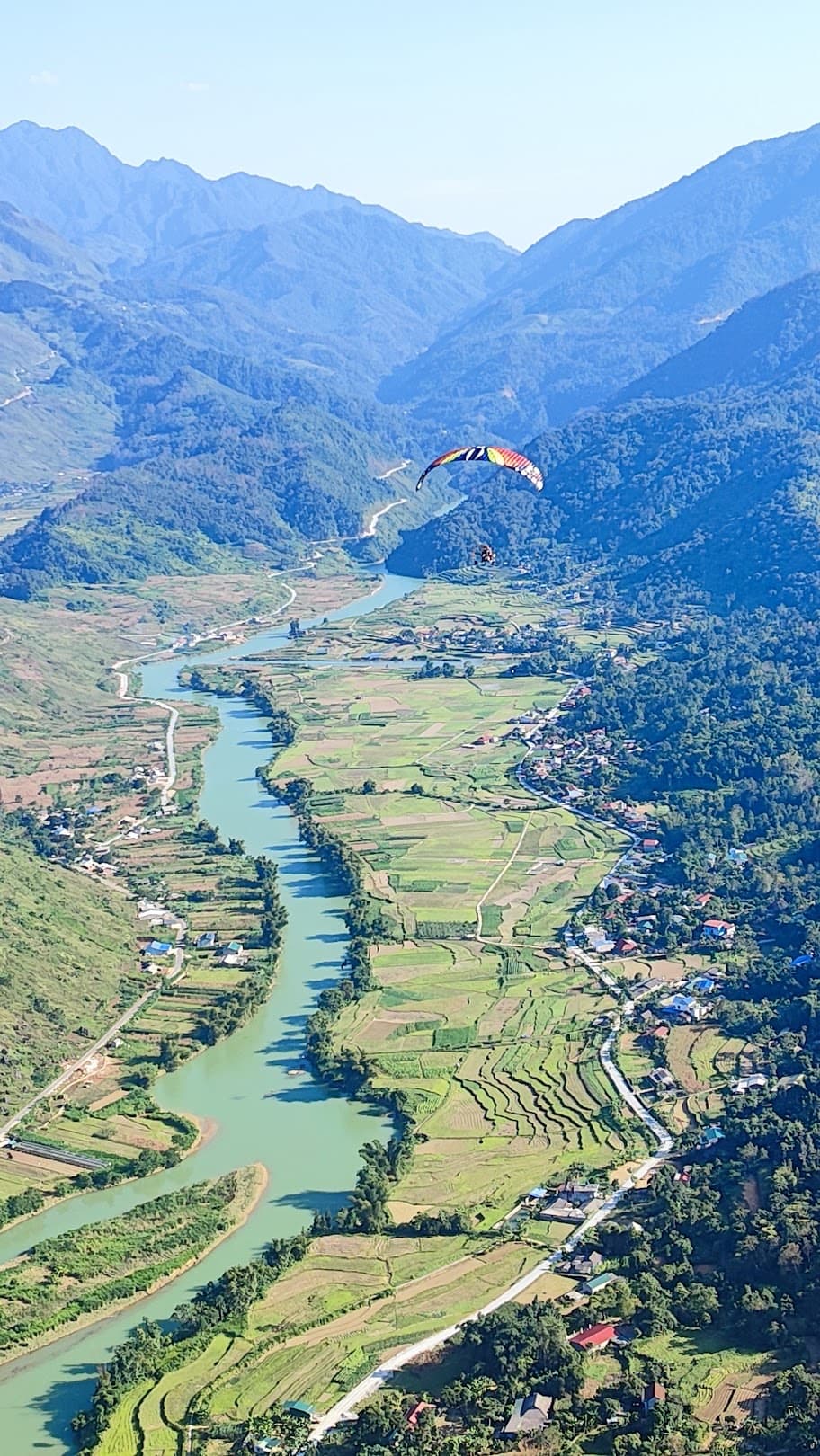
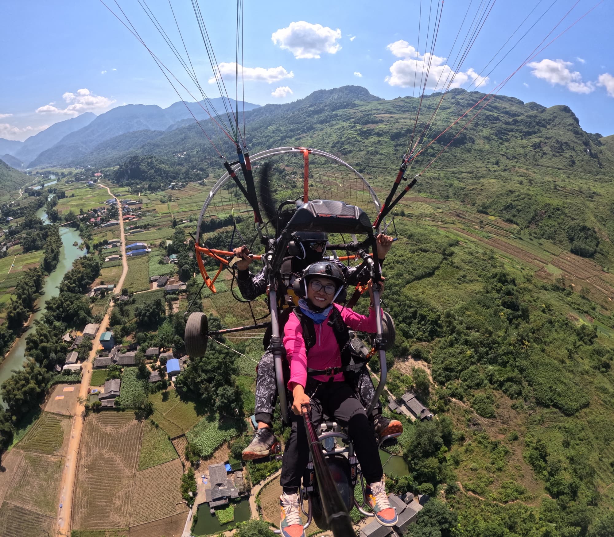
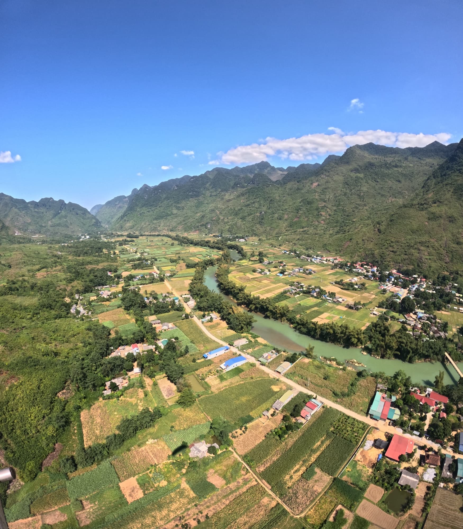
Paragliding at QUẢN BẠ – the gateway to the Đồng Văn Karst Plateau. Take off at 950 m and soar over the whole Quản Bạ valley, taking in the Quản Bạ Twin Mountains, Heaven's Gate, the Lùng Tám valley and the Miện River winding around the foot of the mountains.
🏍️ ON THE HA GIANG LOOP
Quan Ba is the first stop of the Ha Giang Loop – the famous circuit Ha Giang – Quan Ba – Yen Minh – Dong Van – Meo Vac, about 45 km from Ha Giang city. Stop to paraglide right below Quan Ba Heaven's Gate, see the whole karst plateau from above, then ride on. Loop map, photo spots and tips on hagiangparamotor.com.
🪂 Flight site operated by Mebayluon
📦 PACKAGE INCLUDES:
🪂 PARAGLIDING (PG)
+ Tandem flight with a pilot, 9–15 minutes depending on the wind
+ Sunset package: 9–15 minutes depending on the wind
+ Mountain-slope take-off at 950 m, landing in the Quản Bạ valley
🚁 POWERED PARAGLIDING (PPG)
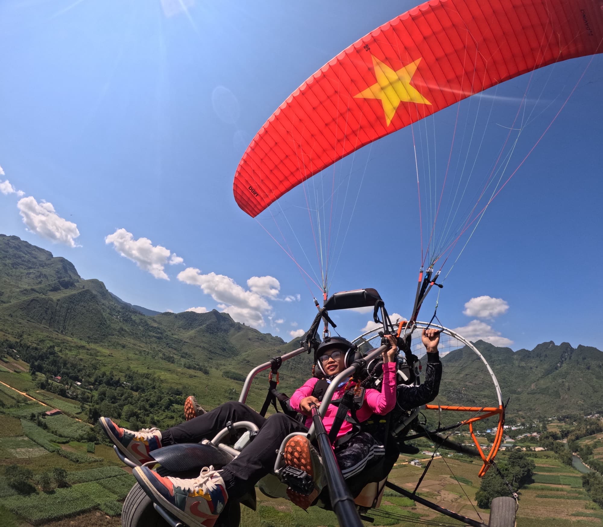
+ Basic package: 15-minute flight
+ Advanced package: 20–25 minutes, cloud-chasing flight — sunrise / sunset
+ Take off right in the valley and climb thousands of metres for the full panorama
📸 OPTIONAL SERVICES:
📌 ADDITIONAL INFO:
Please book in advance so we can arrange your flight in the best possible way!
Fly safely with Mebayluon
- Our pilots go through rigorous training to international standards (APPI & IPPI), hold tandem pilot certificates and build up the required flight hours — thousands of flights of experience — before carrying guests.
- Genuine imported equipment that meets international standards — wing, harness, reserve parachute, helmet — checked before every flight and inspected regularly.
- We only fly when the weather is safe, based on the forecast and the on-site pilot's assessment; every flight includes insurance for the guest.
Frequently asked questions
How do I get from Hanoi to the Quan Ba flying site?
Hanoi to Ha Giang city is about 300 km; the overnight sleeper bus takes about 6–7 hours and arrives early in the morning, in time to go up to Quan Ba for a morning flight. If you drive yourself, take National Road 2 to Ha Giang city, then about 45 km more on National Road 4C; if you are already in the Quan Ba area (Nam Dam, Tam Son, Lung Tam, Can Ti), the flight team picks you up and drops you off for free.
How should I plan my itinerary?
A quick 1-day trip from Ha Giang city: fly at Quan Ba in the morning, have lunch in Tam Son and head back to the city in the afternoon. On a 3-day, 2-night Ha Giang Loop, fly at Quan Ba on the first day and then continue to Yen Minh – Dong Van; the tip is to fly in the first session after you arrive, so if the wind isn't right you still have a backup session.
When is the best season to fly at Quan Ba?
Quan Ba is most beautiful in autumn — buckwheat flowers in October–November, dry clear skies, also the busiest season; spring and summer are the cloud-chasing seasons. Weekends in October–November and the New Year, 30 April – 1 May and 2 September holidays are very busy, so book a few days ahead.
What kinds of flights are there at Quan Ba?
Paragliding (PG) takes off from the mountainside at 950 m and flies for 9–15 minutes depending on the wind, with a sunset package available. Powered paragliding (PPG) takes off right in the valley: the basic package is 15 minutes, the advanced package 20–25 minutes of cloud-chasing, sunrise or sunset flying — see powered paragliding.
What are the opening hours?
The Quan Ba flying site is open daily 6:30–18:30. If conditions do not allow a special flight (cloud-chasing, sunrise, sunset, long flight), it is changed to a basic PG/PPG flight.
Is paragliding at Quan Ba on the Ha Giang Loop?
Yes — Quan Ba is the first stop of the Ha Giang Loop (Ha Giang – Quan Ba – Yen Minh – Dong Van – Meo Vac), about 45 km from Ha Giang city. Read more in Ha Giang Loop paragliding.
How much does flying at Quan Ba cost?
Prices differ between paragliding, powered paragliding and the special packages — see them and book on the Quan Ba booking page.
Is paragliding safe, and who can fly?
Our pilots go through rigorous training to international standards (APPI & IPPI), hold tandem pilot certificates and build up the required flight hours — thousands of flights of experience — before carrying guests. Genuine imported equipment that meets international standards — wing, harness, reserve parachute, helmet — checked before every flight and inspected regularly. Passengers must be 3 years or older and weigh under 120 kg (please tell us in advance if you are over 90 kg or under 30 kg), with the basic fitness for a short run — see also Is paragliding safe? and How old do you need to be to paraglide?.
What if the weather is bad?
Bookings made on the website are confirmed immediately; if the weather is unfavourable, the flight team will contact you to reschedule. Flexible flight dates, free cancellation — let us know about a change or cancellation before the agreed pick-up or flight time and you get a full refund.
Do I get photos and videos of the flight?
GoPro photos and video of the whole flight are included in the package. You can add drone (flycam) footage and a 360° camera — the 360-degree panoramic video is sent straight to your phone after the flight.
We have many other beautiful flying spots across Vietnam
3D map of the Quản Bạ flying site
The 950 m paragliding take-off, the 450 m landing by the Miện River (also the paramotor take-off), the Núi Đôi twin hills, Heaven's Gate, Nặm Đăm and Lùng Tám. Tap a stop to fly in; drag, rotate and zoom freely.
━━ National Road 4C━━ small paved road━━ paragliding flight line
Stops on the map
1 Quản Bạ centre former Tam Sơn town
The centre of Quản Bạ commune (the former Tam Sơn town): food, lodging and the pick-up point for flights. From here, 1.6 km along National Road 4C and 1.5 km up the side road lead to the paragliding take-off.
2 Núi Đôi Cô Tiên Fairy Bosom twin hills
Two round hills side by side in the Tam Sơn valley, the emblem of Quản Bạ. From the glider you look straight down on them, next to Quản Bạ centre.
3 Paragliding take-off TAKE-OFF · 950 m
The paragliding take-off on the mountainside at 950 m. From Quản Bạ centre, 1.6 km along National Road 4C then 1.5 km up; the flight descends into the Miện River valley with views of the twin hills, Heaven's Gate and Lùng Tám.
4 Landing field · PPG take-off LANDING · 450 m
The paragliding landing field by the Miện River at 450 m, also the paramotor (PPG) take-off. About 10.5 km from Quản Bạ centre: 8 km further along National Road 4C, then 0.9 km of concrete lane.
5 Quản Bạ Heaven's Gate pass on National Road 4C
The pass on National Road 4C just before it drops to Quản Bạ centre, 3.4 km away: the classic stop for the view over the Tam Sơn valley and the twin hills.
6 Nặm Đăm community-based tourism village
A community-based tourism village of rammed-earth houses with yin-yang tiled roofs; within the pick-up area for flights in Quản Bạ.
7 Lùng Tám linen weaving village
A linen weaving village in the Miện River valley; from the air you see the Lùng Tám valley and the river winding round the foot of the mountains.
Moments here
Stories and Experiences
Hear memorable stories from our flyers
Flying over the karst plateau
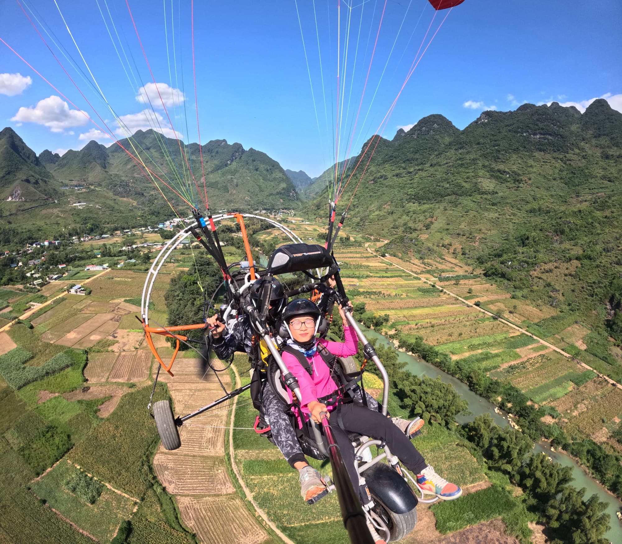
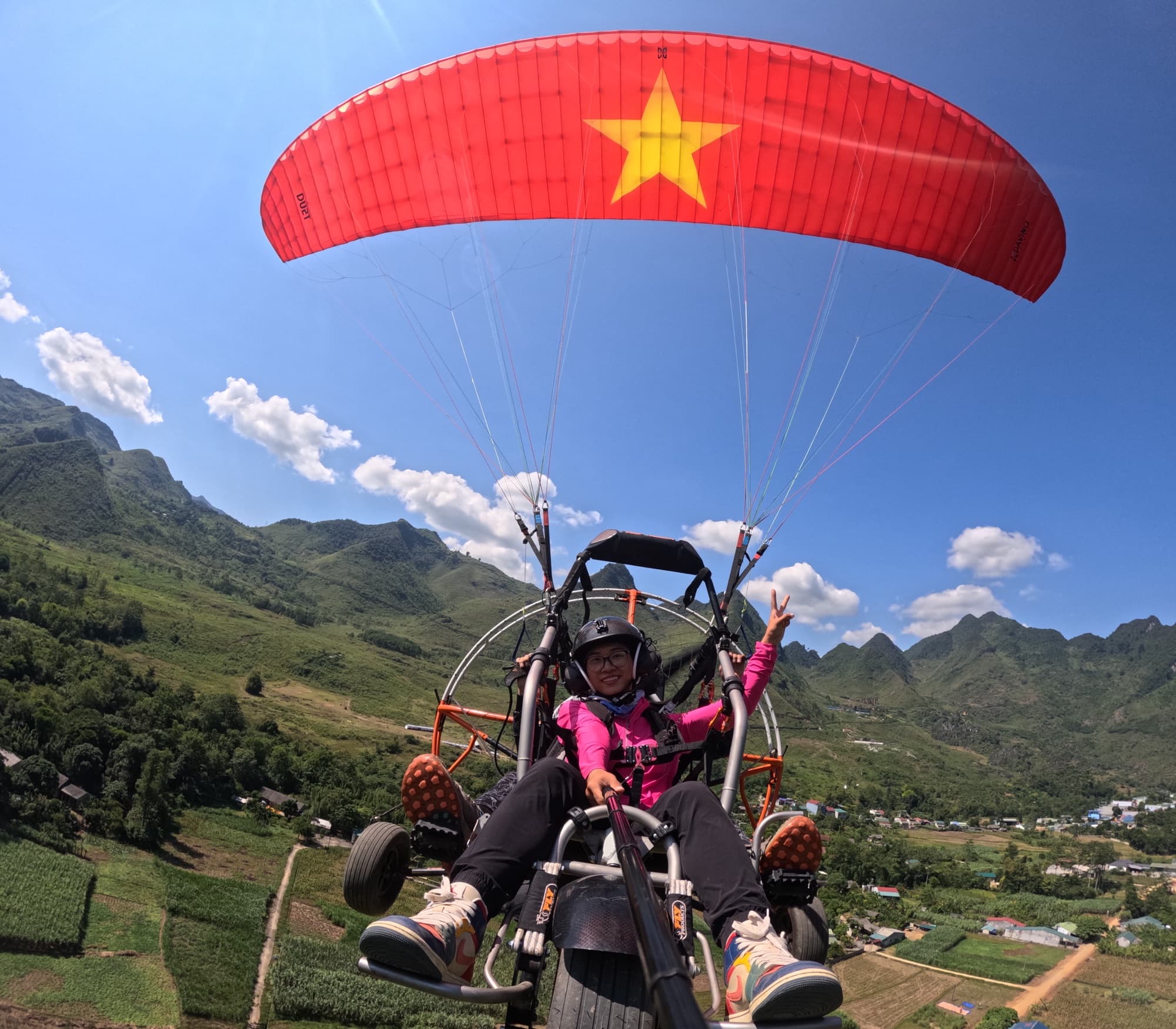
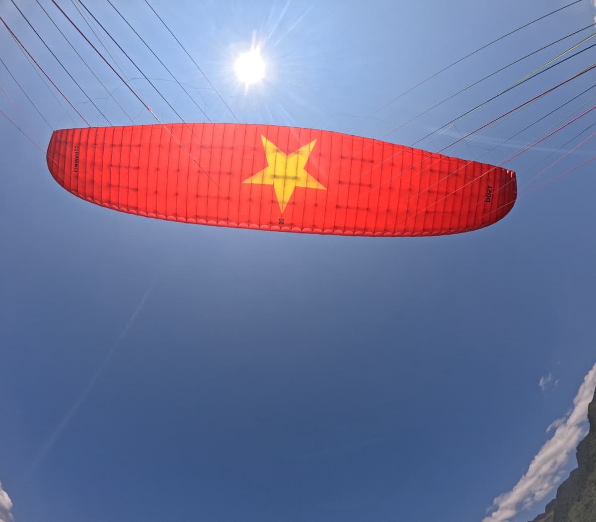
Survey flight at Quan Ba: take off at 950 m and the cat-ear limestone ridges run under the wing all the way up to Heaven's Gate. The gateway to the Dong Van karst plateau looks better from the air than from any pass viewpoint.
The Quan Ba valley under the wing
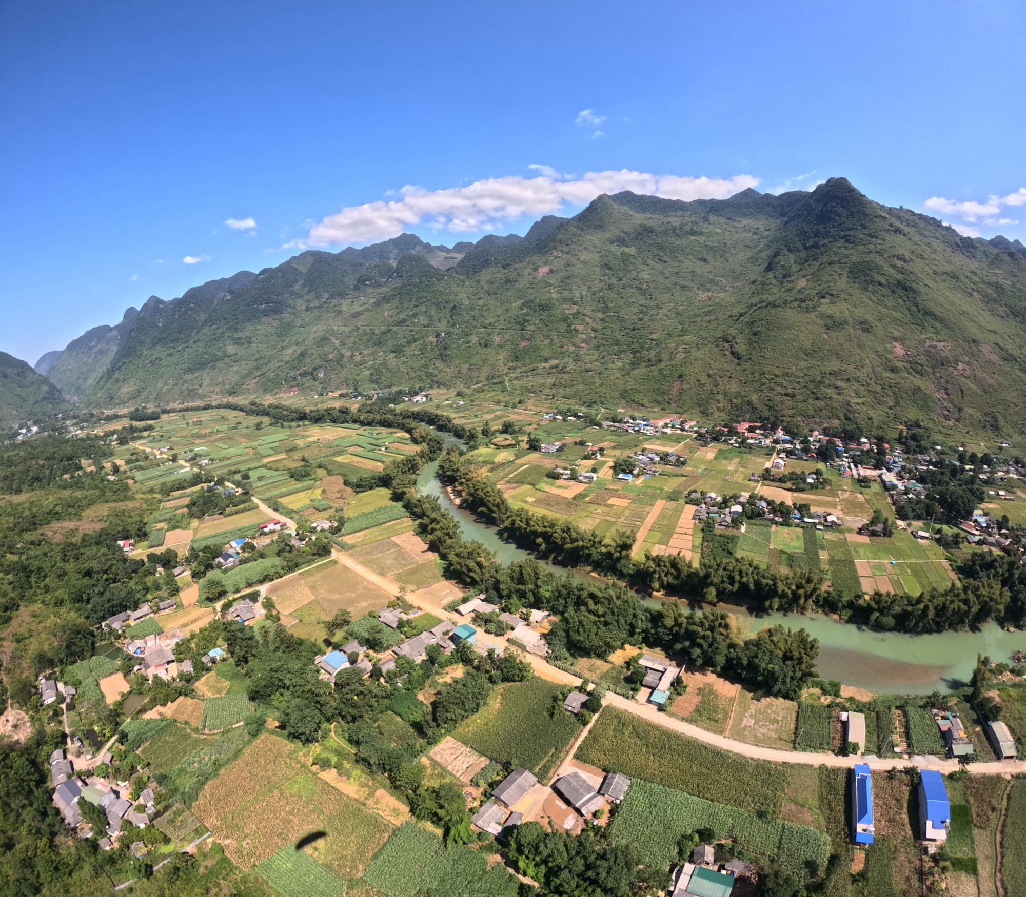
Corn fields, villages, a concrete road and a river winding along the foot of the mountains spread out like a living map. The Twin Mountains sit right in the middle of the valley, guests spot them the moment the pilot points.
Sunrise cloud-hunting by PPG
The 20–25-minute PPG package takes you up at sunrise, while cloud still fills the small valleys around Tam Son and only the rock peaks show through. Book ahead so we can schedule by the sun.
Guides & articles Paragliding at Quan Ba (Ha Giang)
Site guides, pilot technique, prices and events