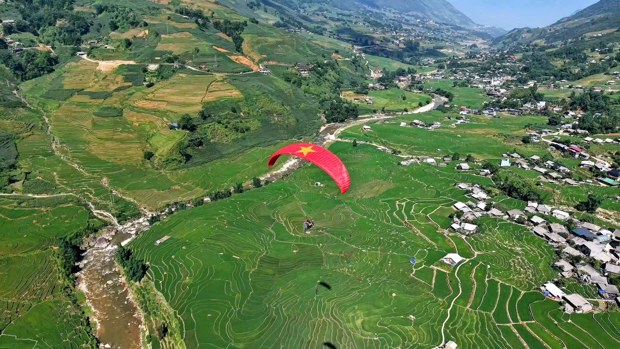
Fly Over Muong Hoa Valley
Drifting clouds – rice terraces – Fansipan
- about 1,500 m Takeoff Altitude
- 8–15 minutes In the air, wind permitting
Sa Pa – Muong Hoa flying site
Quick facts
Takeoff Altitude
about 1,500 m
Flight Time
8–15 minutes
Feeling
Smooth and stable
The Sa Pa – Muong Hoa flying site is part of the Mebayluon network and is run directly by the Sapa Paragliding team. Schedules, prices and tips for Sapa paragliding are on the Sa Pa team's own website; this page is just a short introduction to the site.
📌 KEY FACTS:
Fly safely with Mebayluon
- Our pilots go through rigorous training to international standards (APPI & IPPI), hold tandem pilot certificates and build up the required flight hours — thousands of flights of experience — before carrying guests.
- Genuine imported equipment that meets international standards — wing, harness, reserve parachute, helmet — checked before every flight and inspected regularly.
- We only fly when the weather is safe, based on the forecast and the on-site pilot's assessment; every flight includes insurance for the guest.
We have many other beautiful flying spots across Vietnam
Flying site on Google Maps
More about this site on
Route map
Tap a map to open it full size.
The road to the Sa Pa site
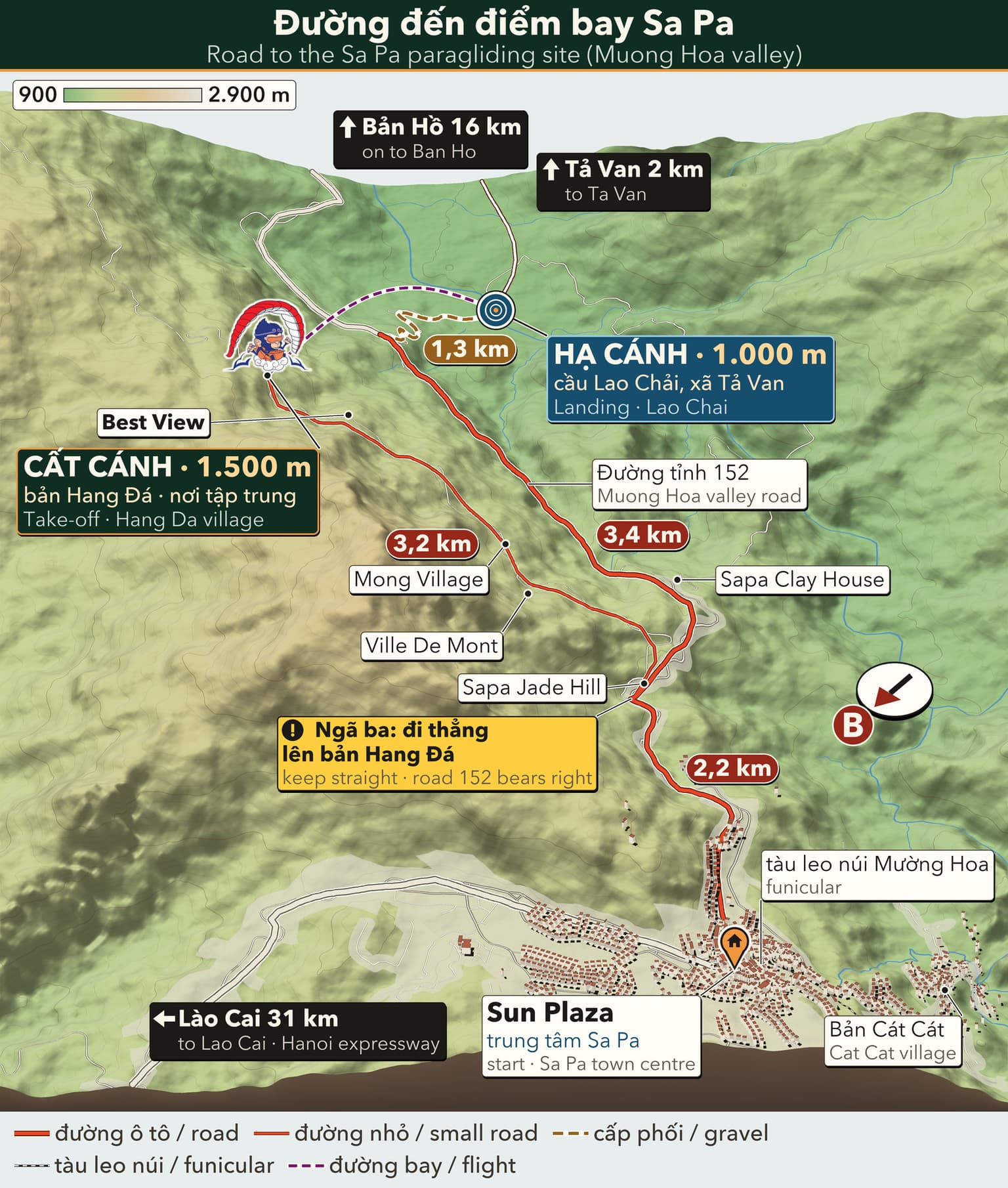
3D travel map of Sa Pa
16 stops around Sa Pa town and the Mường Hoa valley, including the paragliding take-off and landing. Tap a stop to fly in; drag, rotate and zoom freely.
━━ road━━ trekking route━━ funicular · cable car━━ paragliding flight line
16 stops on the map
1 Sun Plaza & Square Town centre · Meeting point
The heart of Sapa: funicular station, town square, stone church and the paragliding pick-up point.
2 Ham Rong Mountain Behind the stone church · On foot
A limestone mountain beside the town centre: climb past gardens, a stone forest and Heaven's Gate to a view over Sapa.
3 Moana Sapa Violet road · Photo park
A tropical-island-style photo park on Violet road, looking straight out over Muong Hoa Valley.
4 Fansipan Roof of Indochina · 3,143 m · far stop — zoom out to see it
Reach the Roof of Indochina by funicular and cable car from Sun Plaza, or trek 1–2 days from Tram Ton.
5 Cat Cat Village Hmong village · Close to town
The Hmong village closest to town: walk down a stone path past water wheels to Cat Cat waterfall.
6 Hang Da Take-off Sapa Paragliding · Take-off
Where the flight begins: check-in counter, covered waiting area and a grass launch facing Muong Hoa Valley.
7 Lao Chai Landing Black Hmong village · Landing
A Black Hmong village on the floor of Muong Hoa Valley, where gliders land in the fields and the walk to Ta Van begins.
8 Ta Van Village Muong Hoa Valley · Village
A Giay village on the Muong Hoa stream: homestays, the ancient rock field nearby, and the usual end of the one-day trek.
9 Ban Ho & Hot Spring End of Muong Hoa Valley · Tay village · far stop — zoom out to see it
A Tay village at the far end of Muong Hoa Valley, with a hot mineral spring in Ban Den hamlet – the finish of the long trek.
10 Seo My Ty Lake Above Ta Van · Mountain lake · far stop — zoom out to see it
A hydropower reservoir more than 1,600 m up above Ta Van, at the end of a steep, winding road – for confident riders.
11 Ta Phin Village North of town · Red Dao village · far stop — zoom out to see it
A Red Dao village north of Sapa, known for hand-embroidered brocade, herbal baths and the ruins of a stone monastery.
12 Silver & Love Falls Road QL4D · Waterfalls · far stop — zoom out to see it
Silver Waterfall sits beside road QL4D; Love Waterfall is a 30-minute forest walk into Hoang Lien – both on the same road.
13 O Quy Ho Pass Road QL4D · Mountain pass & viewpoint · far stop — zoom out to see it
A pass of nearly 50 km linking Lao Cai and Lai Chau across the Hoang Lien Son range – a place for sunsets and cloud seas.
14 Rong May Glass Bridge O Quy Ho Pass · Glass bridge & thrill games · far stop — zoom out to see it
An outdoor glass lift takes you up to a glass walkway reaching out from the cliff at about 2,200 m.
15 Best View Sapa Cau May ward · Viewpoint
A hillside check-in spot at about 1,600 m, looking down on Muong Hoa Valley and Ta Van, close to the paragliding take-off.
16 Muong Hoa funicular Sun Plaza → Muong Hoa station · Funicular
A ride of about 6 minutes from the station inside Sun Plaza to the Fansipan cable car station, through tunnels and over viaducts above Muong Hoa Valley.
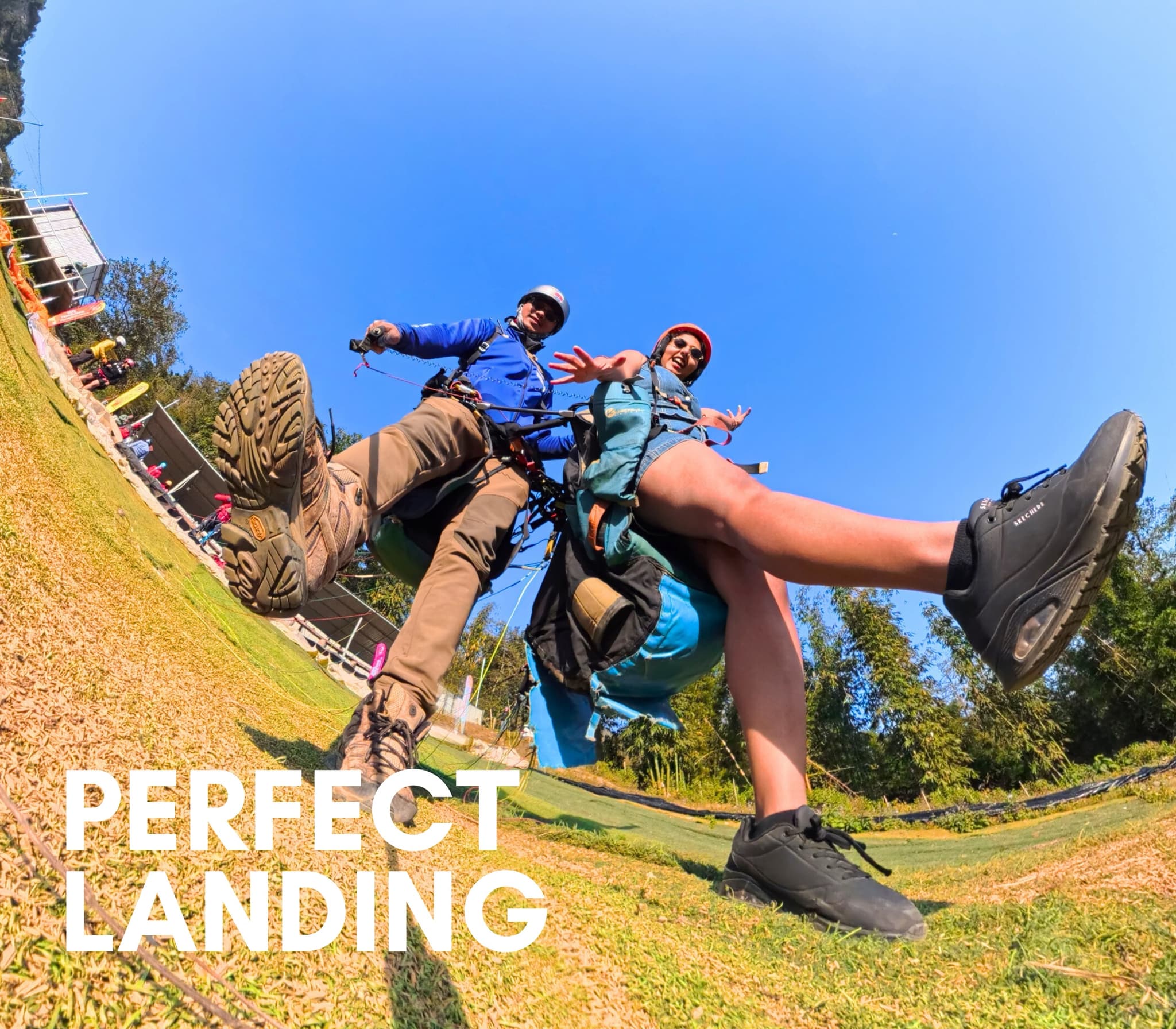
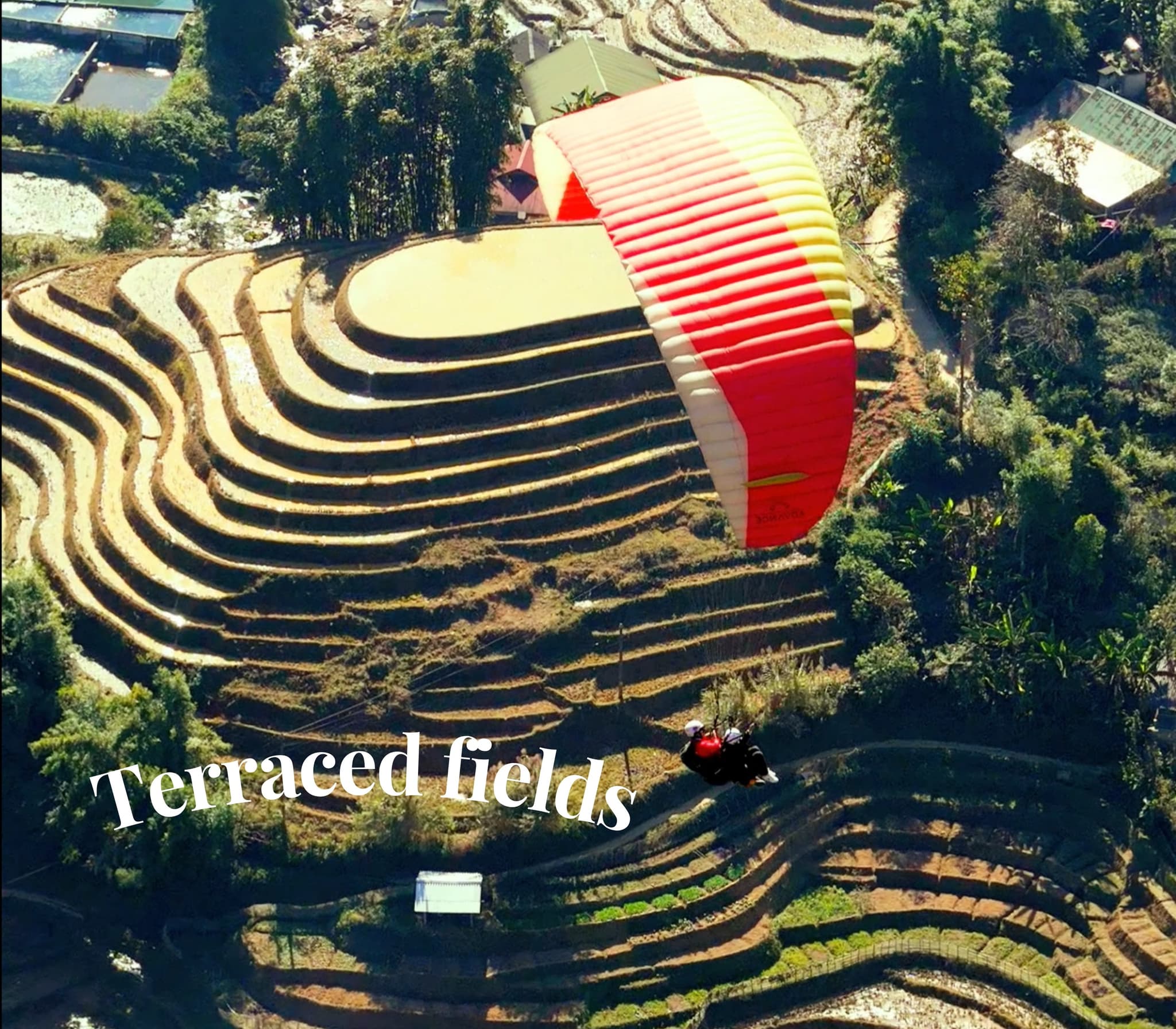
Moments here


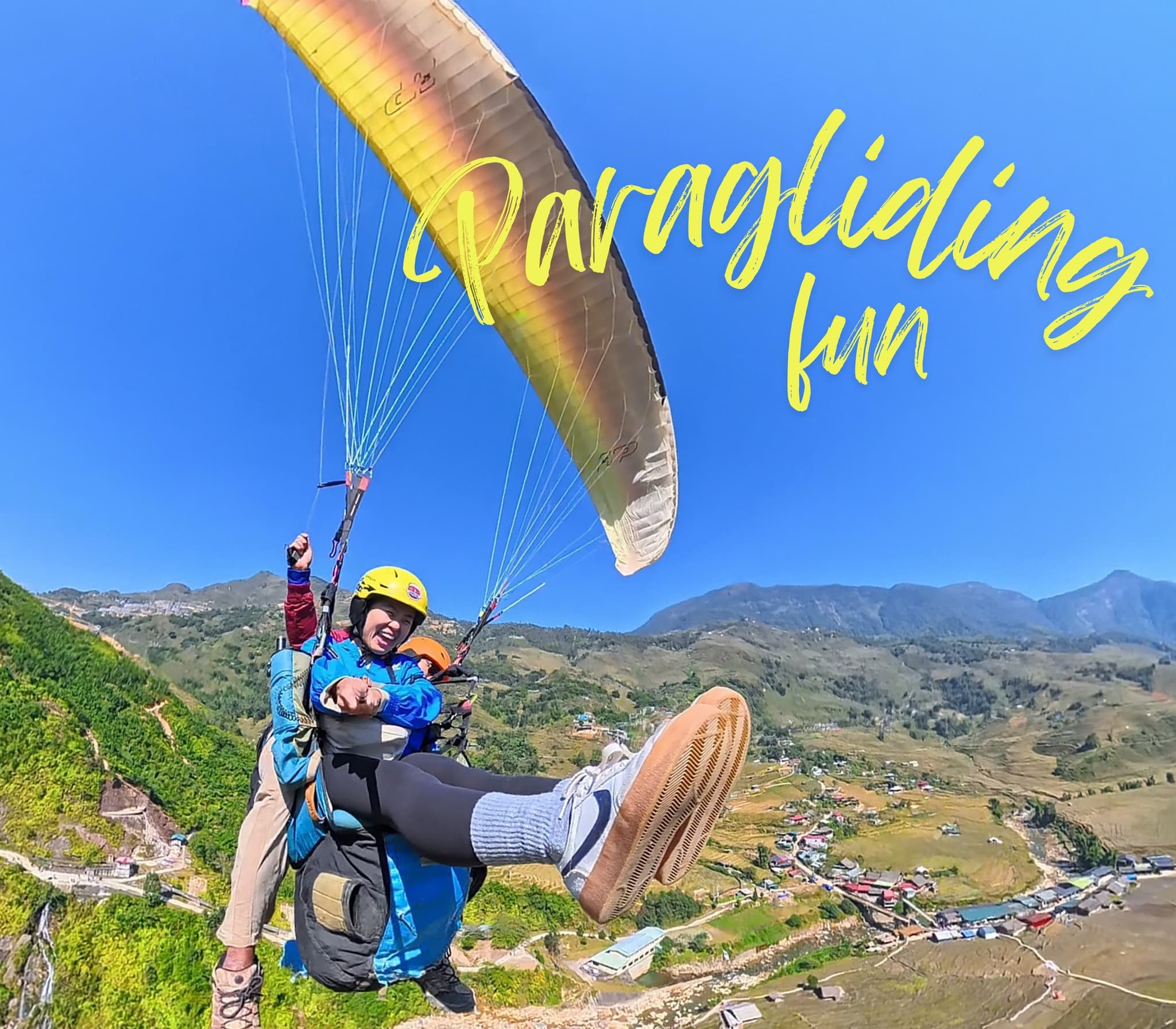
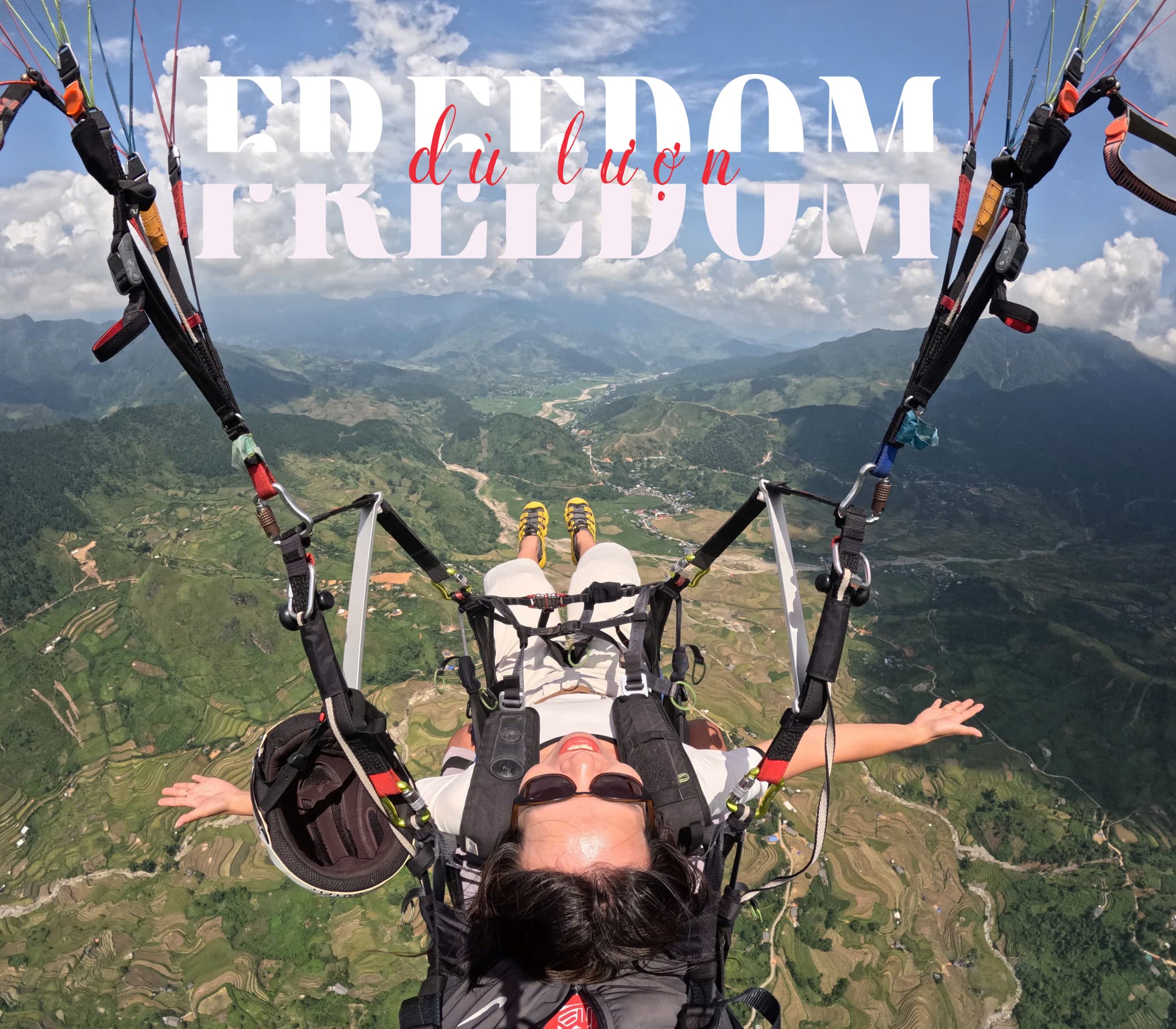
Stories and Experiences
Hear memorable stories from our flyers
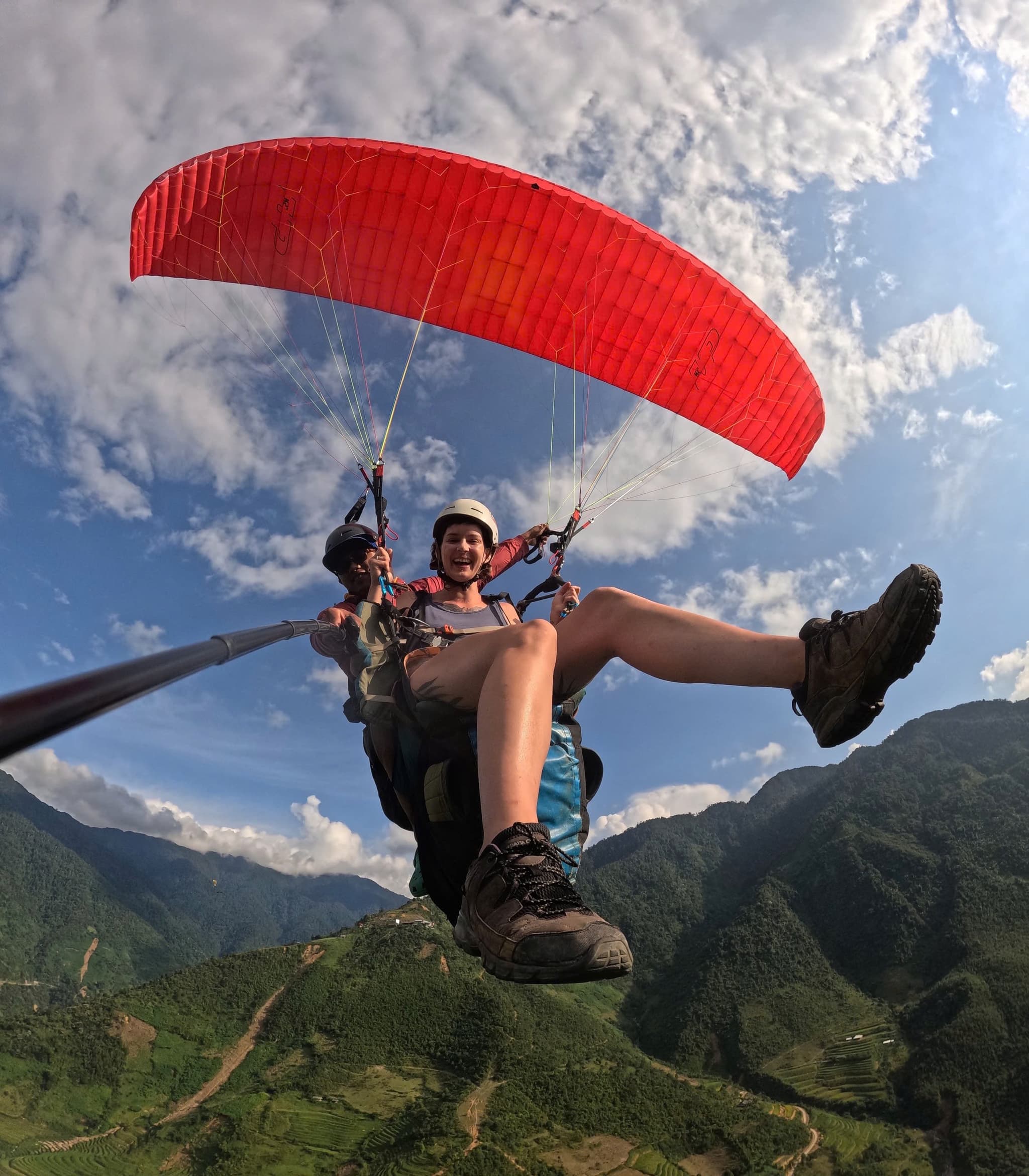
Flying over Muong Hoa Valley
The flight traces Muong Hoa Valley with layered terraces and Fansipan towering in the distance. Higher up we skim a thin cloud layer — pure Sa Pa.
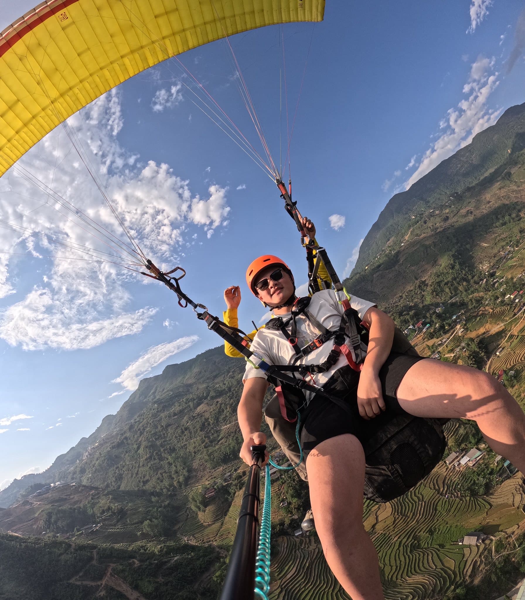
Frost and sunshine
A biting cold morning but smooth air. As the sun rose, the frost melted to reveal sparkling villages and terraces.
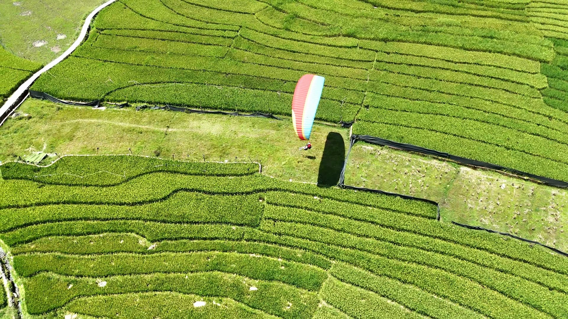
Touchdown in Muong Hoa
Landing amid young rice fields, kids ran over waving — an unforgettable memory.
Guides & articles Paragliding at Muong Hoa Valley (Sapa)
Site guides, pilot technique, prices and events
