Ngã Ba Kim is not a place people come to for photos. But almost everyone travelling from Tú Lệ to Mù Cang Chải stops here, because it is the first place with fuel, hot food and rooms after more than 20 km of mountain pass. On Mebayluon's check-in map it is stop no. 9.
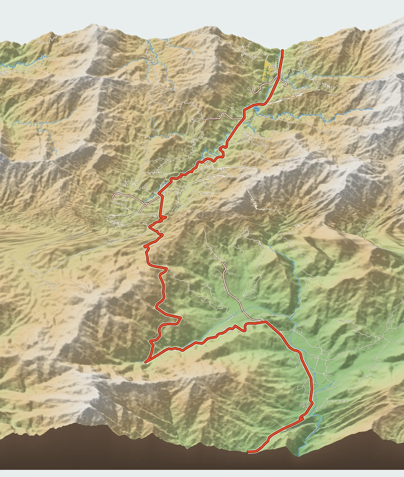
Where is Ngã Ba Kim?
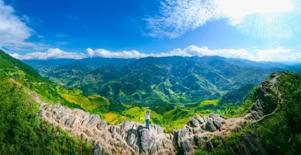
Ngã Ba Kim (Kim junction) is a fork on QL32 in Púng Luông, at about 1,140 m. On our map it sits at Km 30.4, counting from Le Champ Tú Lệ. From the paragliding take-off on Khau Phạ Pass it is 15.2 km; from the highest point of the road over the pass alone (about 1,580 m, at Km 19.9), it is more than 10 km of continuous descent, losing some 440 m of height.
From the junction, Mù Cang Chải town is just over 17 km to the north-west.
What you'll find here
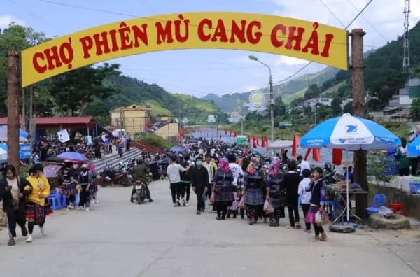
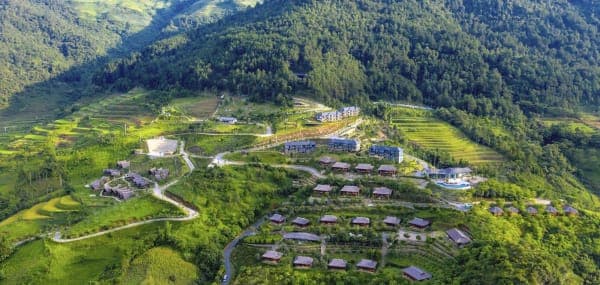
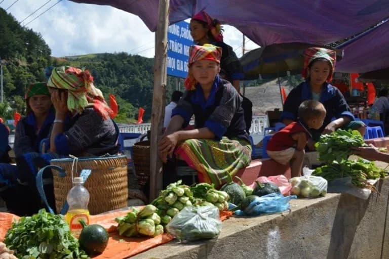
Around the junction is a short row of shops and houses. OpenStreetMap lists a petrol station and a few guesthouses here; Google Maps has a pin for Ngã Ba Kim market. Eateries line both sides of the main road. For motorbike riders, this is the place to fill the tank, check your brakes after the long descent and have a hot meal.
We don't list individual eateries or guesthouses by name, as this kind of information changes quickly and we can't verify it all ourselves. When you arrive, you'll see the options right along the road.
Where the road divides
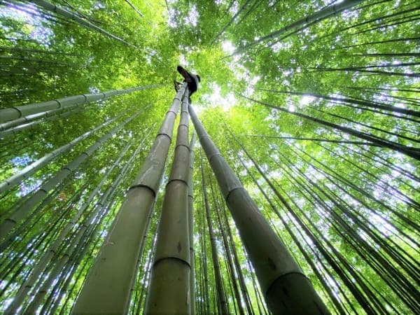
The name “ngã ba” (three-way junction) sums up its role on the route. Carry straight on along QL32 and you climb to La Pán Tẩn: the turn-off to Mâm Xôi hill is less than 6 km from the junction, and Garrya Mù Cang Chải nearly 8 km. Take the side road south and you head up to Púng Luông bamboo forest: just over 4 km, steep and narrow.
That makes Ngã Ba Kim a good place to rethink your plans for the day. If you get here before 3 pm and the weather is dry, you still have time to go up to the bamboo forest and come back out to see Mâm Xôi in the late-afternoon light. If you arrive late or it is raining, skip the bamboo forest and either carry straight on to La Pán Tẩn or stay the night.
Season and timing
The junction is the same in every season, but the pass before it is not. In the cold season and on rainy days, fog often blankets the top section of the pass in the late afternoon and early morning; time your descent so you come down in daylight. At weekends in the golden season (mid-September to early October), guesthouses along the route fill up early, including here.
Practical tips
- Fill up here if you plan to take any of the side roads: there are no petrol stations in the villages.
- The long descent heats up your brakes. Stop for a few minutes to let them cool before carrying on.
- To hire a xe ôm (motorbike taxi) up to the bamboo forest, ask at the eateries around the junction, and agree the round-trip price in advance.
- Carry cash for entrance tickets and xe ôm rides at the stops ahead.
Combine it with a paragliding flight
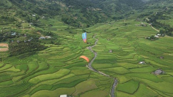
If you go paragliding on Khau Phạ Pass and then continue to Mù Cang Chải, you will pass Ngã Ba Kim about half an hour after leaving the take-off. A neat one-day plan: fly in the morning, have lunch on the pass or at the junction, visit the bamboo forest and Mâm Xôi in the afternoon, and spend the night in La Pán Tẩn or in town.
Previous and next stops on the route
- Previous stop: the paragliding take-off on Khau Phạ Pass, 15.2 km away by the map's km markers.
- Next stop: Púng Luông bamboo forest, 4.4 km away by the map's km markers.
- The whole route: 18 stops, distances, best seasons and a dedicated post for each in Mu Cang Chai Travel Map: 18 Stops from Tu Le to Khau Pha.