Vietnam has several places called the "dinosaur spine": Tà Xùa in Sơn La, Bình Liêu in Quảng Ninh, and a lesser-known one in Mù Cang Chải. This post is about the third, stop 14 on Mebayluon's check-in map. If your map search lands you in Sơn La, that's a different place.
Where the Dinosaur Spine is
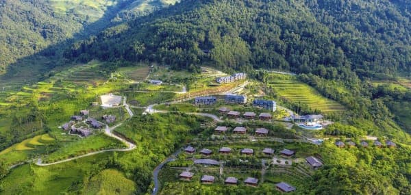
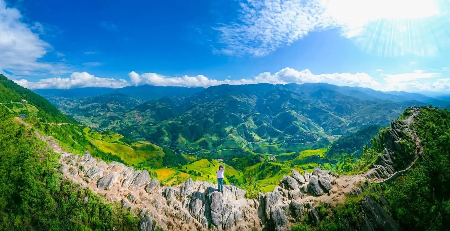
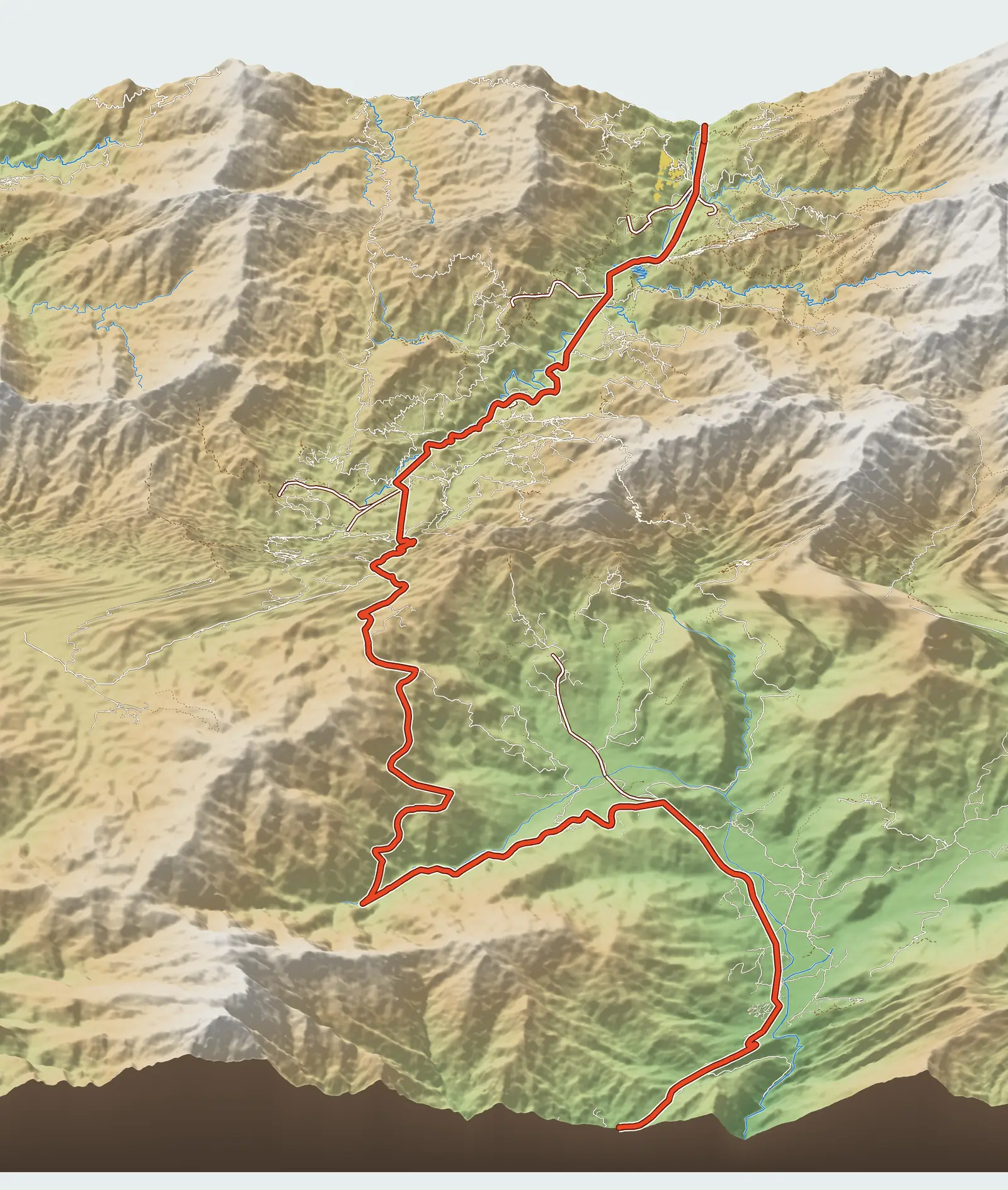
The Dinosaur Spine (Sống Lưng Khủng Long) is a long, narrow, raised ridge whose steep flanks are carved with rice terraces; walking along it feels like walking down the backbone of a giant beast lying among the mountains. Articles give its address as Phình Hồ bản (village), Dế Xu Phình xã (commune). The Google Maps pin bearing its name sits on a ridge spur at about 1,460 m, west of La Pán Tẩn, some 1.6 km from Garrya as the crow flies; right next to it is a homestay also named "Sống Khủng Long".
We use the coordinates of that pin and have cross-checked them against elevation data: the pinned spot is indeed a ridge spur, with the ground falling away on three sides. Even so, it is a user-created pin, so we rate its reliability as only medium.
Getting there from National Road 32
According to the map, the shortest side road leaves National Road 32 (QL32) at Km 42, less than 300 m from the former Chế Cu Nha commune office towards La Pán Tẩn – that is, nearly 4 km past Garrya and nearly 6 km before Mù Cang Chải town. From there the road climbs 4.1 km, from about 1,000 m to nearly 1,460 m.
One trip report describes the road as about 13 km from the town side, three-quarters of it concreted, the rest gravel, steep and dirt; on a rainy day it took them nearly an hour. From where you leave the vehicle you still have to walk: some accounts say 15–20 minutes, others mention climbing about 100 more steps. All of them advise asking villagers for the way in rather than trusting GPS alone.
What you see up there
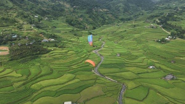
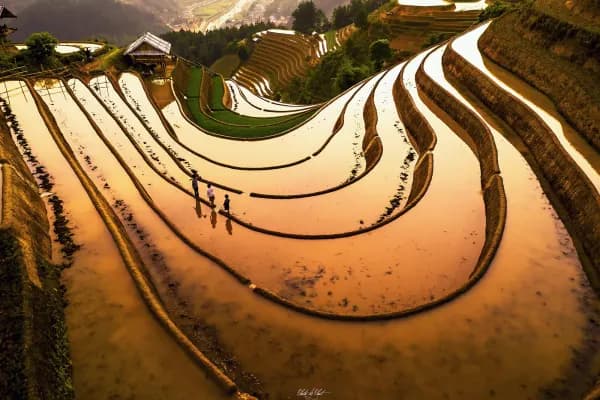
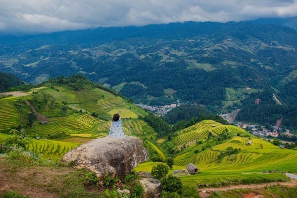
The reason to make the climb is the view. According to the Lào Cai newspaper (Báo Lào Cai), from the ridge you can see four famous rice terrace areas at once: Dế Xu Phình, Chế Cu Nha, La Pán Tẩn and Mồ Dề. At Mâm Xôi you look at one hill; here you look at a whole region, with terraces spreading out on both sides beneath your feet.
The classic shot is someone standing on the path along the ridge, with terraces falling away to the valley on both sides. The path is narrow, so don't jostle towards the edge for photos.
Best seasons and times of day
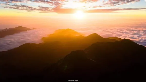
The water-pouring season (when the terraces are flooded for planting) in May–June and the golden season from mid-September to early October. The Lào Cai newspaper schedules this spot for the morning, right after Mâm Xôi; other writers prefer sunset. Early morning often brings clouds down in the valley; late afternoon's slanting light makes the terrace steps stand out, but you must plan to get down before dark.
Practical tips
- Don't go up when it is dark or getting dark: the final stretch of road is rough and unlit.
- After rain, the dirt and rock sections are very slippery. Scooters should not attempt it; hire a local xe ôm (motorbike taxi).
- The ridge is exposed to the wind. Bring a jacket and keep a firm hold on hats and camera gear.
- There is no clear information on whether an entrance fee is charged here; if someone asks you to pay, ask for details first.
Combine it with a paragliding flight
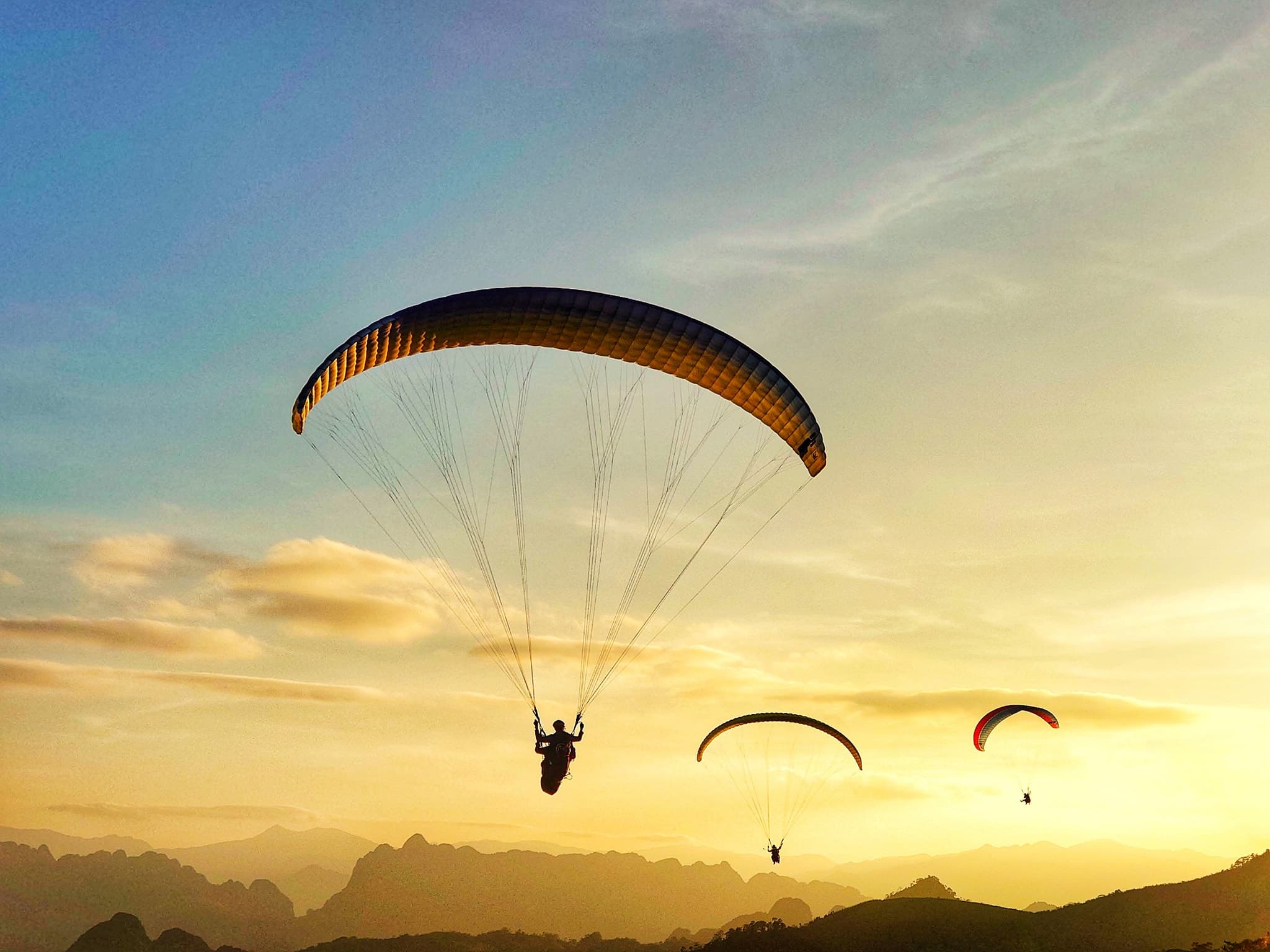
Anyone who has gone paragliding at Khau Phạ Pass will find the Dinosaur Spine strangely familiar: the same feeling of being up high with rice terraces spread beneath you on both sides – only this time your feet are on the ground. From the take-off to the turn-off is 27 km. The most sensible plan is to fly on day one on the Tú Lệ side, stay in La Pán Tẩn or in town, and head up the ridge the next morning.
Previous and next stops on the route
- Previous stop: little Mâm Xôi hill, 4.9 km away by map kilometre.
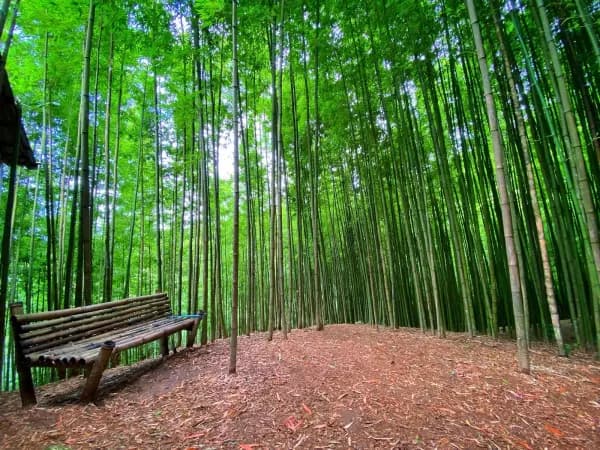
- Next stop: Háng Sung bamboo forest, 0.9 km on by map kilometre.
- The whole route: 18 stops, kilometre markers, best seasons and a dedicated post for each in Mù Cang Chải Travel Map: 18 Stops from Tú Lệ to Khau Phạ.