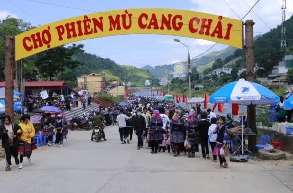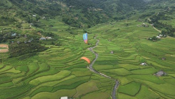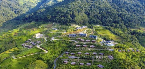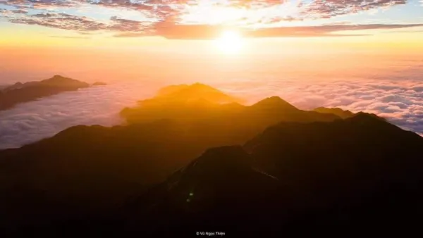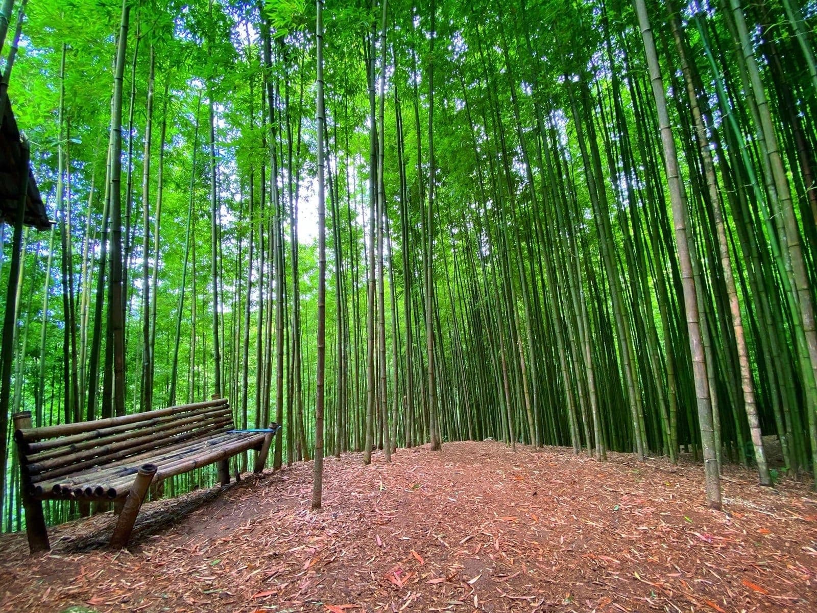
Mù Cang Chải has two bamboo forests open to visitors, and first-timers often mix them up. The Púng Luông forest lies towards Ngã Ba Kim; the one in this post is in bản (village) Háng Sung, right above town. On Mebayluon's check-in map, it is stop number 15.
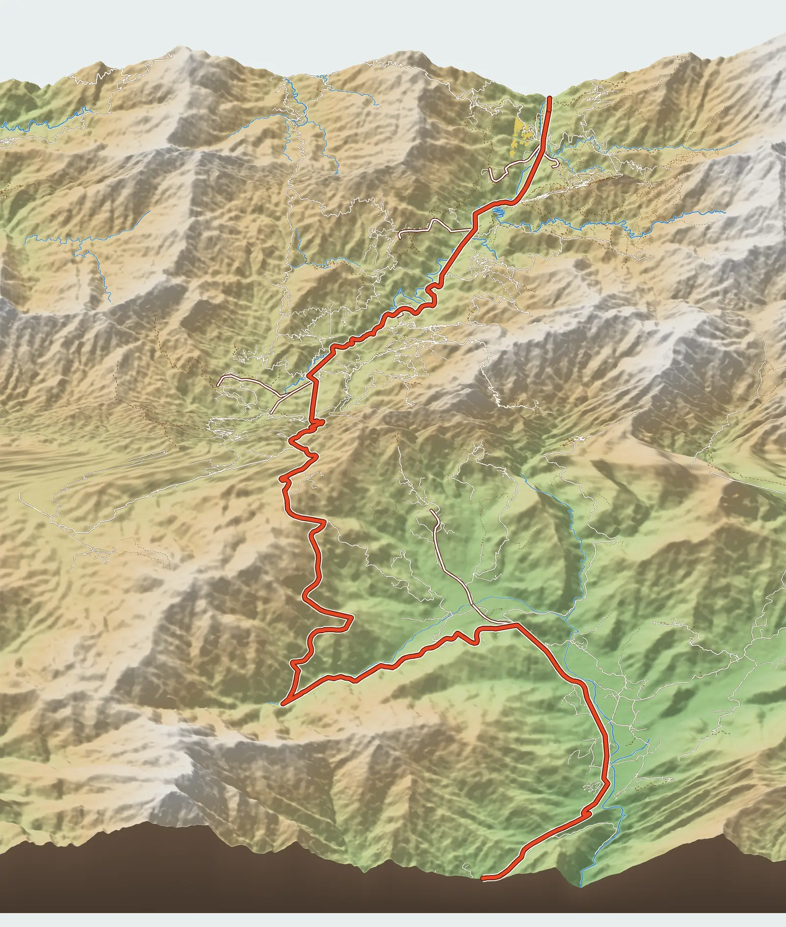
Where is Háng Sung bamboo forest?
The forest belongs to Háng Sung village, in the former Mồ Dề commune, on the mountainside east of Mù Cang Chải town; VnExpress calls it the Mồ Dề bamboo forest. The Google Maps pin we use is labelled “Rừng Trúc Mù Cang Chải” and sits at about 1,310 m, while the town beside the Nậm Kim stream is only around 950 m. According to the newspaper Pháp luật Việt Nam, this forest is older than the one at Púng Luông; villagers keep cutting to a minimum to preserve the scenery, harvesting bamboo only once it is three years old and then replanting.
Because we rely on a single map pin, we rate our confidence in the location as medium. The pin is also more than 100 m from the nearest road on the map, meaning the last stretch is on foot.
The road up from National Road 32
According to the map, the side road leaves QL32 at Km 45.2, which is still 2.5 km short of Mù Cang Chải market if you come from Tú Lệ. The road climbs only about 1.8 km but gains several hundred metres, so it is very steep. VnExpress puts the distance from the town centre at about 3.5 km, notes that the road is rough, and advises visitors to hire a xe ôm (motorbike taxi). That figure is shorter than the sum on the map (2.5 km of highway plus 1.8 km of climb), probably because the measuring points differ.
What to see and how long to stay
As at Púng Luông, the beauty here is in the tall, straight, densely packed bamboo stems with a narrow path threading between them. The forest is quiet and cool; step in from the sun-baked hillside and you feel the difference at once. Costume rental for photos is available around the forest. VnExpress recommends allowing at least an hour.
Which forest should you choose? If you are staying in town and only have half a day, Háng Sung is much closer. If you are coming over from Khau Phạ and it is still early, the Púng Luông bamboo forest is more convenient as it sits just below the pass. There is no need to visit both on one trip.
Best season and time of day
The bamboo is green all year round. Early morning is quiet and the light is still low and slanting; at midday the sun beats down on the canopy and the contrast inside the forest makes photos difficult. Avoid going up on rainy days or straight after rain, as the slope gets slippery.
Practical tips
- Hire a xe ôm or a local taxi from town; agree on the price and waiting time beforehand.
- Shoes with good grip, long sleeves, insect repellent.
- Do not carve into the bamboo, do not break off bamboo shoots, and leave no litter.
- Tickets: we do not yet have a reliable source on this; bring some small change.
Combine it with a paragliding flight
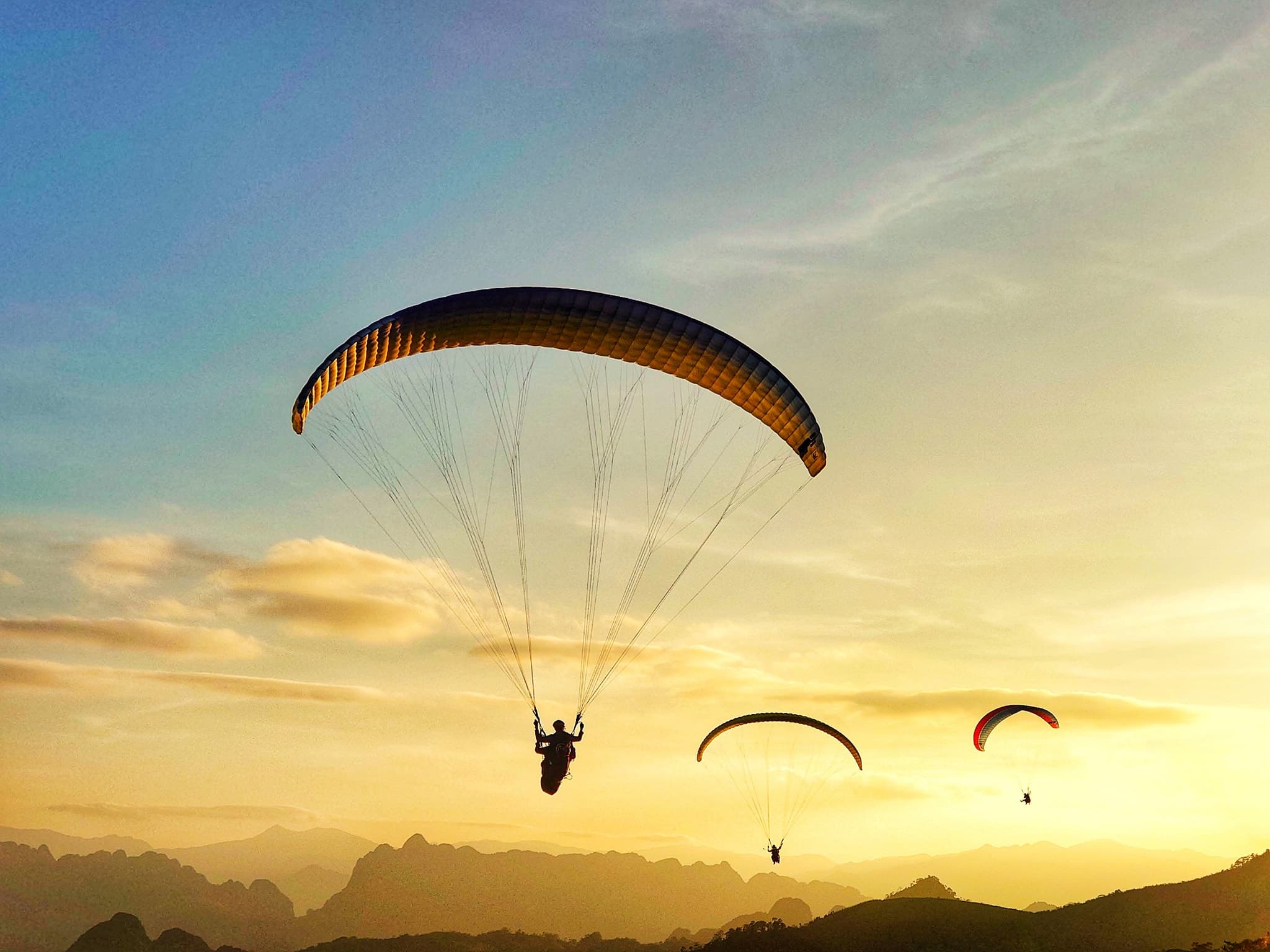
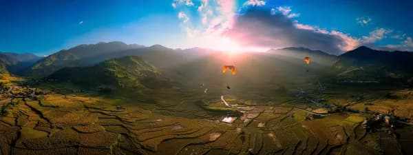
Háng Sung bamboo forest is 30 km by highway from the Khau Phạ Pass paragliding take-off, so it usually fits into a town day rather than a flying day. A three-stop plan around town: bamboo forest in the morning, a midday break in Mù Cang Chải town, then up to Horseshoe Hill (Móng Ngựa) around 4 pm.
Previous and next stops on the route
- Previous stop: Dinosaur Spine (Sống Lưng Khủng Long), 0.9 km away by map distance.
- Next stop: central Mù Cang Chải commune and the Thái village of Khim Nọi, 0.7 km away by map distance.
- The whole route: 18 stops, distances, best seasons and a dedicated post for each in Mù Cang Chải Travel Map: 18 Stops from Tú Lệ to Khau Phạ.