Mù Cang Chải is famous for its rice terraces, so a bamboo forest is the last thing most people expect. Púng Luông bamboo forest lies on the mountain south of Ngã Ba Kim. It is stop no. 10 on Mebayluon's check-in map and the only stop on the route that looks good all year round, whatever the rice is doing.
Where is the bamboo forest?
The forest belongs to Nả Háng Tủa Chử bản (village) in Púng Luông xã (commune), so some call it Nả Háng Tủa Chử bamboo forest. According to articles about the forest, the bamboo here is more than 60 years old and covers over 1 ha, looked after by the villagers; it opened to visitors in July 2020, when locals added paths, a wooden bridge and rest huts. According to elevation data, the forest sits at around 1,320 m.
Don't confuse it with Háng Sung bamboo forest near Mù Cang Chải town. The two forests are nearly 13 km apart as the crow flies and are reached by different turn-offs.
The road up from National Road 32
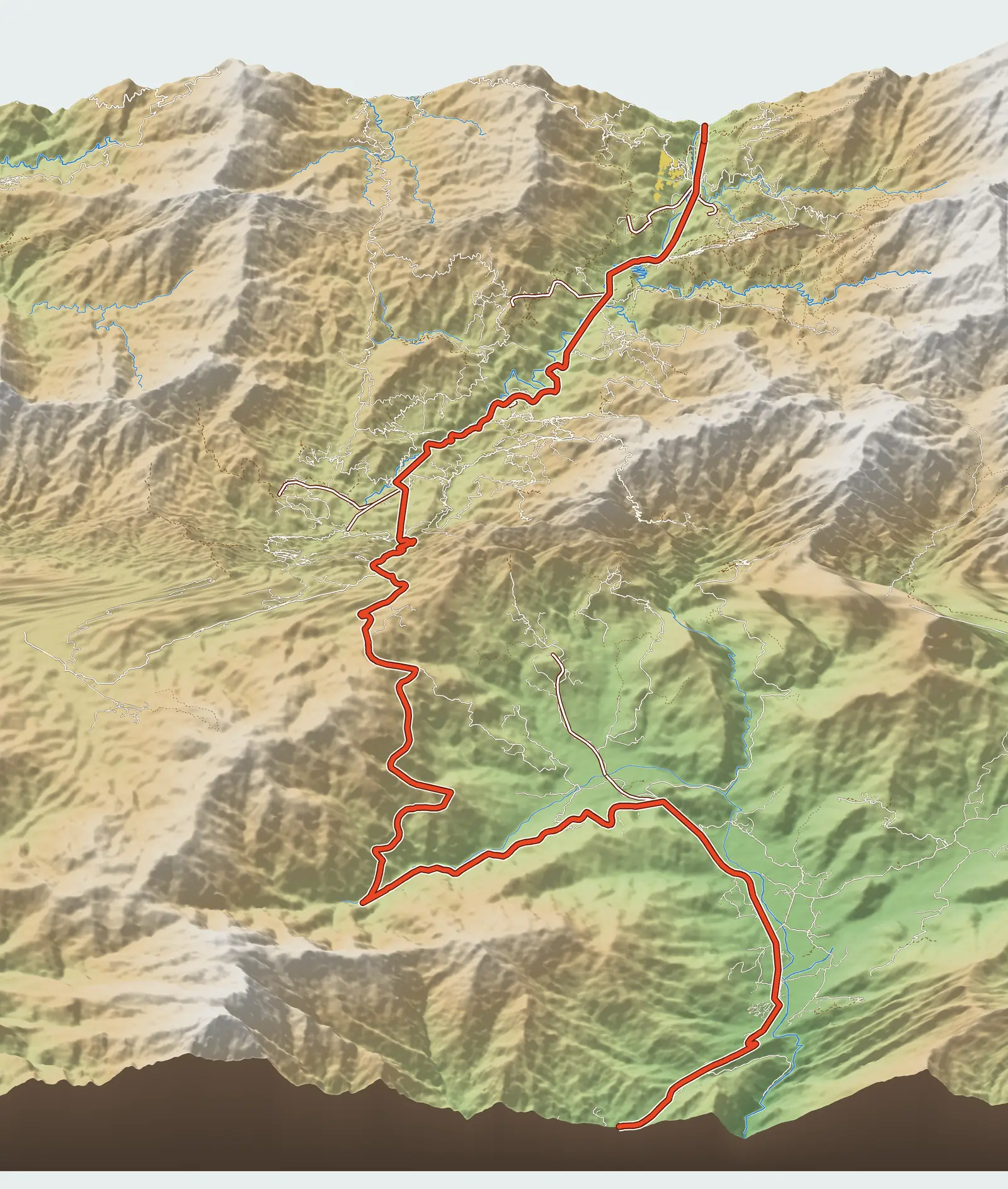
The turn-off is at Ngã Ba Kim (Km 30.4). From the main road, the side road heads south for 4.35 km by the map, climbing about 180 m. The first stretch is paved, then it becomes a narrow, steep dirt road; cars struggle to get in. Every guide recommends hiring a xe ôm (motorbike taxi) from the village, especially if you are not used to mountain roads. From Mù Cang Chải town, the distance is about 20 km.
What to see and where to shoot
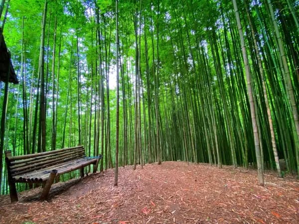
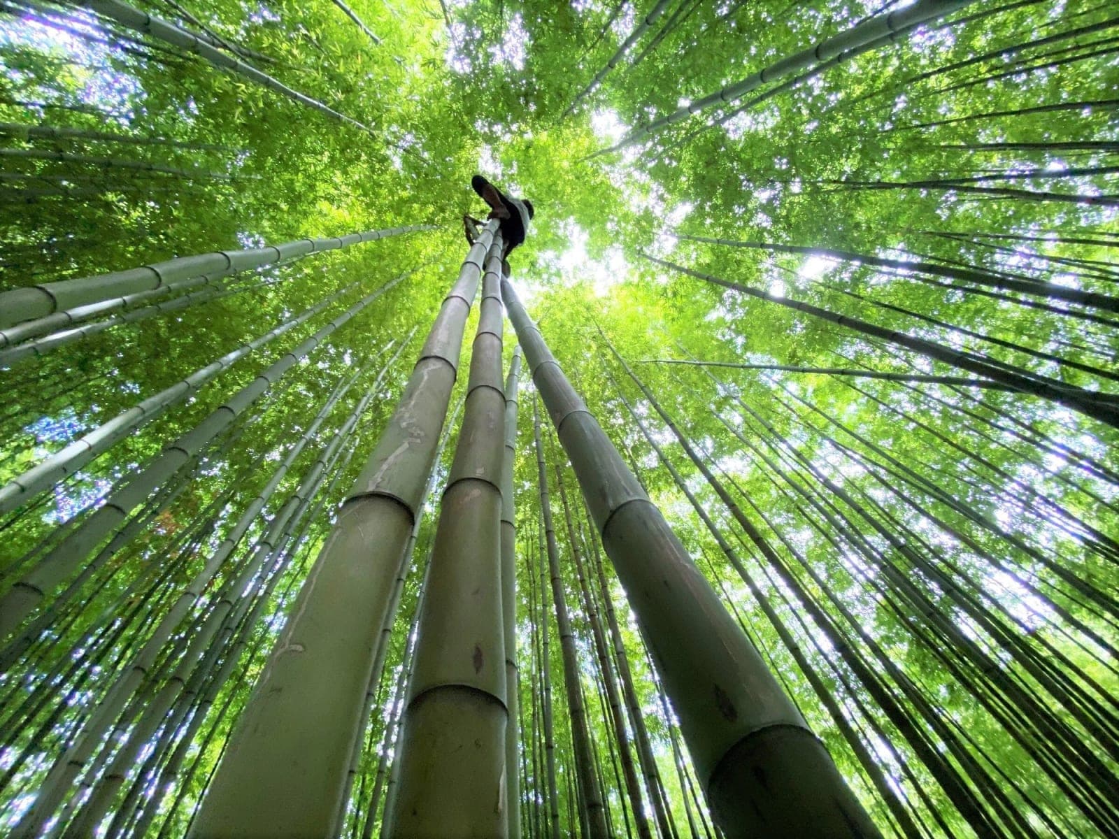
The forest is not large, but it is dense: tall, straight stems growing close together over ground carpeted with dry leaves. The narrow path winding between the stems is the classic frame. The wooden bridge and a few leaf-thatched huts are places to rest, and good photo spots too.
Light makes or breaks the picture here. At midday the sun beats straight down, burning out the canopy while the base of the stems stays dark. Early in the morning or after 3 pm, the light slants through the canopy in streaks, giving the stems shape and a softer green. Cloudy days work well too, since a bamboo forest suits diffuse light.
When to go
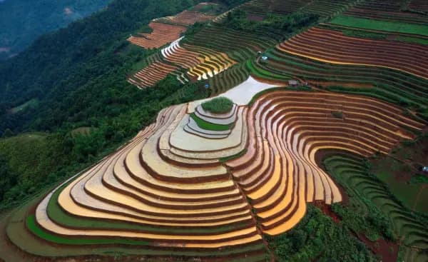
The bamboo is green all year, which makes this a lifesaver for trips that miss the rice seasons. What to avoid is not a season but rain: the steep dirt road becomes very slippery when wet. In the golden season (mid-September to early October), you can pair the bamboo forest in the morning with Mâm Xôi hill in the afternoon.
Practical tips
- There is an entrance fee; sources give different prices for different years, so we don't quote a figure.
- Agree the round-trip xe ôm fare and waiting time before you go up.
- Wear long sleeves and bring insect repellent; the forest is damp, with mosquitoes and other insects.
- Don't carve names into the bamboo or pick bamboo shoots. Take your rubbish out with you.
- Wear shoes with good grip; the paths in the forest are dirt and slippery after rain.
Combine it with a paragliding flight
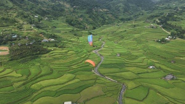
From the take-off for paragliding on Khau Phạ Pass to the foot of the road up to the bamboo forest is 15 km of downhill pass. After a morning flight, cross the pass, have lunch at Ngã Ba Kim, then head up to the bamboo forest in the early afternoon, just as the light starts to slant. It is also a nice change of pace: in the morning you see everything from high above, in the afternoon you stand dwarfed among the bamboo stems.
Previous and next stops on the route
- Previous stop: Ngã Ba Kim, 4.4 km away by the map's km markers.
- Next stop: big Mâm Xôi hill, 2.1 km away by the map's km markers.
- The whole route: 18 stops, distances, best seasons and a dedicated post for each in Mu Cang Chai Travel Map: 18 Stops from Tu Le to Khau Pha.