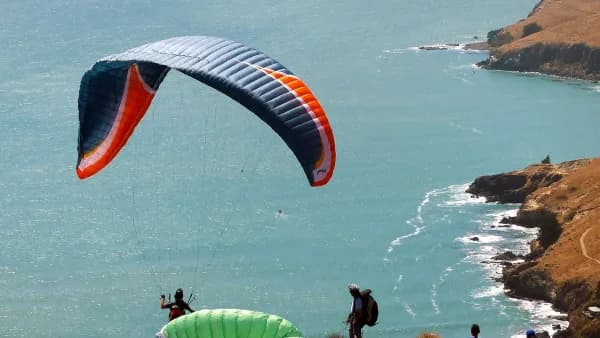
Khau Pha is not a difficult site, but it is a site that asks you to read the wind correctly before you run. The same ridge and the same launch give three completely different flights depending on wind direction: one where you climb to 1,800 m and fly the whole valley, one where you are sunk and shaken the whole way home, and one where a low-airtime pilot should stay on the ground. This guide shows you how to tell them apart.
Khau Pha at a glance: the numbers that matter
The launch sits on Khau Pha pass at roughly 1,200 – 1,300 m. The landing zone is the Lim Mong rice terraces at roughly 650 – 750 m. Straight-line distance is only about 2.2 km with about 550 m of height difference, so in still air you need a glide of only about 4:1 to reach the LZ — very comfortable, even on a tandem. That margin is what makes Khau Pha easy. It is also why people get complacent about wind direction.
Rule one: read the wind from TWO windsocks, not one
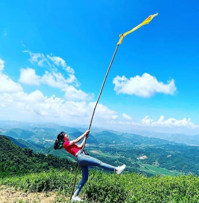
This is the single most important thing in this article. Immediately behind the launch there is a large valley (pilots call it the salmon valley) that constantly draws air in and bends the flow. The result: the windsock at launch almost always reads WEST or NORTH-WEST, even when the real wind over the area is North or North-East. If you judge conditions from the launch windsock alone, you will misread the wind almost every time.
The correct method is to compare both windsocks — launch and landing. Every airflow passes through the bowl of the Lim Mong LZ before being pushed out through the narrow gap toward the Tu Le valley, which makes the LZ windsock the most honest indicator of the real wind direction.
- LZ NORTH or NORTH-EAST + launch NORTH-WEST (even due WEST) = light East / North-East. This is the best condition of the site. The two windsocks disagreeing is NORMAL.
- LZ showing SOUTH to WEST = a westerly flow is definitely running, whatever it feels like on top.
- Launch EAST to SOUTH and LZ also EAST to SOUTH = South-East wind. Both signals must be present before you conclude this.
Scenario 1: Light East / North-East / light North — the perfect condition
The Tu Le valley runs east–west, so it gathers the wind and pushes it up into the Lim Mong valley. Once inside Lim Mong the flow fans out and strikes every east and north facing slope, producing continuous lift. Add some sunshine and the thermals become strong and appear on ALL east and north facing faces.
In this wind you can ridge-soar right at launch. With sun you can realistically climb to 1,800 m and fly the entire valley, working the north and east faces. The east-facing slopes to the left of launch can be flown freely. On the diagram the two green lines are the typical routes: line 1 runs straight down the axis to the LZ, line 2 makes a big loop taking in all the east and north faces.
Important warning: the thermals and valley wind can get very strong, up to 8 – 10 m/s in places. In strong conditions fit your speed bar, fly HIGH and stay well clear of blocking ridges — behind a mountain is always badly turbulent. Avoid every lee-side area.
And one thing you must never do: do not go looking for lift on WEST or SOUTH facing slopes. In this wind those are the lee side — only turbulence and sink, never thermals. On the way back to land the wind can get very strong (venturi effect), so keep plenty of extra height unless you want to land out in the paddies.
Scenario 2: West / South-West — hot, dry and turbulent
A westerly always produces turbulence, whether it is strong or light — strong wind means strong turbulence, light wind means light turbulence, but there is no threshold at which it becomes smooth. The air is hot, dry and sinking, and there is almost no hope of thermals or lift. The most reliable signal is the LZ windsock: if the LZ reads south to west, a westerly flow is definitely running.
Recommended line: after leaving the slope, turn RIGHT and hug the right-hand mountain face, keeping the maximum distance from the worst turbulence in the middle of the valley, then turn back left toward the LZ. The first half of the glide will be rough — accept it. Never fly close to the pass gorge once you are near the LZ; the wind there is very strong (venturi effect).
Technique: in turbulence the wing can collapse or drop into a deep stall. Keep your HANDS UP, glide straight, and do not over-brake. Braking deeply in rough air is the direct route to a deep stall. With a pure westerly the default answer is do not launch; only consider flying when a light south-west or north-west is running and the LZ windsock is steady.
Scenario 3: South-East / strong South
Only a strong wind can push into the valley from this direction. Identification needs BOTH signals: the launch windsock reading east to south, AND the LZ windsock also reading east to south. If both are true, congratulations, you have a South-East day: heavily turbulent, sinking as soon as you leave the slope, exactly like the westerly but mirrored.
The best line is to stay well away from the two mountain faces on either side, especially the massif on the right, holding the middle of the valley and then curving slightly LEFT toward the LZ. Be prepared to land out along the way if the sink stops you reaching the LZ — pick your bail-out fields along the track BEFORE you launch. After launching, despite the sink and the turbulence, just head straight for the LZ, hands up, and avoid over-braking.
One difference from the westerly: with a South-East wind you will NOT be sinking once you are over the LZ. But the wind in the LZ area is still fairly strong, so start your circuit early, commit to a decisive final, and watch for wind gradient in the last 30 m.
The three bad winds — what they share
South-East, South to South-West and West are all turbulent winds. You will sink as soon as you launch, and there is no ridge soaring and no lift to be found after take-off. Only near the LZ can a little convergence lift appear, and even that is rare. Most flights in these conditions follow the same pattern: turbulence and sink after launch, then strong wind before landing. These conditions require an experienced pilot. Low-airtime pilots must not fly.
Summary for new pilots
- Always read BOTH windsocks — launch and LZ — before deciding. The launch windsock on its own will mislead you.
- LZ north / north-east with launch north-west: the best condition of the site. Ridge lift and thermals on every east and north facing slope.
- Never look for lift on west or south facing slopes — those are the lee side, only turbulence and sink.
- West, south-west, south-east and south winds are turbulent and sinking. Low-airtime pilots must not launch.
- In strong conditions: fit the speed bar, fly high, stay well clear of blocking ridges and every lee-side area.
- In turbulence: hands up, glide straight, do not over-brake.
- The wind near the LZ is usually stronger than you expect — always keep extra height.
Flight safety comes first. Keeping yourself safe is how you keep everyone else safe.
— Mebayluon Paragliding
This one is written for pilots. If you are a guest looking to fly, read paragliding in Mu Cang Chai instead — prices, requirements and the step-by-step process.