👁️ DETECTING TURBULENCE
🚩 Any flexible objects that readily show gusts in the wind such as trees, crops, long grass, bodies of water, flags and windsocks are useful for detecting turbulence. Rapidly changing flags and snapping windsocks are particularly reliable turbulence indicators. Rising smoke is also ideal, as the illustration shows, in turbulent conditions it undergoes undulations and diffuses rapidly while the smoke stream is fairly uniform on non-turbulent days. These indicators most often foretell mechanical and thermal turbulence.
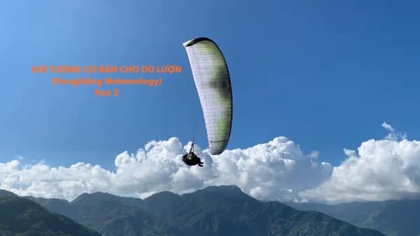
☁️ Certain cloud types are related to turbulence as well, as noted earlier. Cumulus clouds are most often associated with thermals and thus thermal turbulence. The strength of this turbulence is partially indicated by the vertical development and speed of build-up of the clouds which is related to thermal strength. 🌫️ Shear turbulence is also related to certain types of characteristic clouds. At lower levels stratus layer clouds often exist at inversion layers since the cooler air near the boundary condenses the water vapor in the warmer air as they mix. Expect to find shear turbulence near the lower limit of stratus layers. At higher levels in the sky billow clouds indicate the presence of shearing action. Often this shear is associated with the approach of a warm front and it is usually above the level of sport flying (15,000 feet-5,000 m or more) where such clouds appear. 🌊 A final cloud type that can signify the presence of turbulence is a wave cloud. Since strong rotors often exist in conjunction with waves, such clouds should serve as a warning to pilots of light aircraft. We cover waves in detail later and see how to avoid rotors.
🔄 CONDITIONS AND TURBULENCE CYCLES
🔥 We should be able to see by now that hot, dry conditions are ideal for producing strong thermal turbulence. In addition, strong pressure gradients, whether due to local heating or general circulation, cause vigorous winds that can lead to virulent turbulence. ⚖️ Changes in stability also relate to the type of turbulence likely to be present. Stable air suppresses thermals as well as other forms of vertical motion. Thus mechanical turbulence is somewhat suppressed and dies out sooner in stable conditions as does thermal turbulence. On the other hand, stable air is most readily associated with layered air and the resulting shear turbulence. 📅 From the above we can form a general picture of what type of turbulence to expect at different times. Morning stable conditions often give way to afternoon instability followed by evening and nighttime stability. On the larger scale, winter stable conditions are replaced by spring instability followed by a mixed bag of summer (stability and instability in moist areas, instability in dry areas) then general instability in the fall as cold fronts move south.
❄️ Of course there are many exceptions to the above chart. For example, thermals may occur in the winter after a cold front passage or in the desert on a sunny day. Shear turbulence can occur year around or at midday when fronts or pressure systems are in the vicinity. The cold, dense air of winter generally exhibits less thermal turbulence and mechanical turbulence doesn't spread so much. However, more energy is contained in denser air moving or spinning with the same velocity as thinner air.
🌍 SURFACE CONDITIONS
🚁 Because so much of sport aviation practices take place within a few hundred feet of the ground, we should pay special attention to surface effects. As we have seen, this lower level is the friction layer and we should always expect to encounter mechanical turbulence of some degree here when the wind is blowing.
🌊 SEASIDE TURBULENCE
🌬️ Near the sea the airflow is often as smooth as whipped cream for several reasons: ▶The wind moving over the water encounters very little roughness until it reaches the shore. ▶ The air over the water is usually stable since it is cooled from below when the water is cooler than the air as is normal. ▶ The entire mass of air over the water is usually stable since it is generally descending during the day. Flights along the coast of a major body of water rival those taken in a midnight calm for smoothness.
🏞️ INLAND TURBULENCE
🌪️ Inland the picture is much different. Mechanical and thermal turbulence may combine as shown previously in the illustration. Of course, mechanical turbulence exists downwind of all solid objects as shown in the illustration. Here we see how the turbulence spreads out and forms smaller eddies downwind. This spread depends on the wind velocity and the stability. A general rule for aviation is to stay as far away from the downwind side of an obstruction as its height times the wind velocity in miles per hour (or 0.6 × the wind velocity in km/h).
🛡️ Safe Downwind Clearance= Object Height x Wind Velocity (mph)
📏 As an example, a 20 foot house in a 15 mph wind requires 20x 15 = 300 feet of downwind clearance while a 1000 foot mountain in 10 mph wind requires 10,000 feet or two miles of clearance.
🧗 CLIFF FACES
📐 Looking closer at the terrain, we can understand the effects of different shapes. Earlier in the illustration we saw how sharp edges disrupt the air's flow. This is the action we should expect from a building. We can also apply this understanding to various shapes of hills as shown in the illustration. Here we see a rounded and gentle hill, sharper cliff-like faces in light and strong winds, then finally an undercut cliff. The gently rounded hill exhibits little or no turbulence even in moderate winds. Such a hill may be used for top landing of soaring aircraft as is the case with numerous grassy knobs in England and Point of the Mountain in Utah. ⛰️ The sharp cliffs shown in the figure may always exhibit some form of turbulence in wind. Light wind may create standing eddies or rotors as shown. Stronger winds can produce more chaotic turbulence. The worst case is when the cliff face is actually undercut, for dangerous turbulence may form at the edge in all but the lightest of winds.
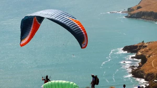
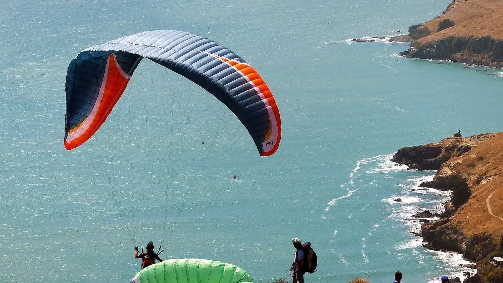
🪂 We examine these hill tops and cliff edges specifically because pilots in some forms of sport aviation launch from these points. In order to perform such an act successfully and safely the pilot must understand the nature of the turbulence likely to be present and how to deal with it. In general, the standard procedure is to use assistance and get the wing situated in the smooth airflow as much as possible. This requires moving to the edge of the cliff where the airflow just begins to break up. The presence of rotors may require several assistants and a quick release away from the cliff.
⛰️ RIDGE TOPS
🏔️ A condition closely related to turbulence at cliff faces is that which occurs at the top of ridges or mountains. Several common situations are shown in the illustration. Here we see hills with a variety of shallow downwind or leeside slopes. The hills with shallow downwind slopes only produce turbulence when the winds are quite strong. Hills with a steeper downwind side produce rotors in light winds and strong mixing turbulence in strong winds as shown. Note that a "bolster" eddy may exist above any irregularity on the slope as shown in the figure.
🌲 A long ridge, tree line or a row of houses is more effective in producing turbulence than an isolated hill, clump of trees or house. As shown in the illustration, the wind can pass around a reasonably shaped hill with very little disturbance (isolated hills produce less ridge lift than a long ridge for this reason).
⚠️ It is possible to mistake the wind coming up the backside of a hill due to the lee side rotor as being the true wind as shown in the illustration. Taking off into this rotor would produce an erratic flight at best and slam you into the mountain in the worst case scenario. This author once observed a hang glider pilot make this mistake only to be knocked up on a wing, spun 180º and sent into a dive at the hill. He barely recovered.
🚩 On another occasion we were driving to a 1,000 foot west facing soarable ridge. The access road went up the valley on the east side of the mountain. Flags in this valley as far as a mile away from the mountain were indicating an east wind even though the true wind was west about 15 mph. A huge rotor existed behind the mountain that looked every bit like a steady, soarable east wind. This illustrates the importance of checking both sides of the mountain, the winds aloft and the forecast to be sure of the wind direction. Note that during the approach of a cold front lower level winds may be southeast–northeast in the northern hemisphere while the upper winds will often be westerly. This is a normal state of affairs as shown in the illustration and you can assure yourself of the safety of the situation by checking the forecast. The downwind side of a plateau, be it a cliff or slope also produces sink, rotors or turbulence as shown in the illustration. Launching from a cliff in a tailwind can be very dangerous in winds above a slight trickle.
🏜️ GAPS, BOWLS, CANYONS AND GULLIES
🏞️ The ridges and hills that soaring pilots utilize are often quite uniform so that they have their own little turbulent tricks. Gaps in a ridge line let the air flow through like water through a dam break. The illustration shows the flow and expected turbulence through an open gap with both a straight in and crossing wind. Winds higher than the general velocity should be expected in the gap as well due to convergence. In a long narrow defile with a constriction, the flow will appear as in the illustration with higher winds expected at the constriction.
🌬️ When the wind flows parallel to a gulley or narrow valley, the flow is generally smooth except for the disturbance of the sides and floor of the valley. However, when it is crossing such a long terrain feature, rotors or turbulence will exist in any significant wind. The illustration illustrates this matter. Lighter winds may produce a rotor filling the entire valley. However, thermals tend to break up rotors and create more random turbulence as in the strong wind case shown. When the winds are crossing these valleys the flow may be along the valley as it gets deflected by the opposite slope. In this case the turbulence may be limited to the proximity of the downwind slope as shown in the figure.
🧗 Canyons in high mountain areas can produce their own brand of formidable turbulence. Heating effects and thermals often combine to create great sink and turbulence within the canyons while lift appears along the spines of ridges that border the canyons. The classic case of this type occurs in the Owens Valley in California as well as in the Alps and other rugged mountains. When the wind is crossing the general axis of these canyons, turbulence and sink can be even more severe and appears as in the illustration. The downwind side of the ridges and the depth of the gulley should be absolutely avoided in any conditions except a calm. Crossing such canyons requires ample altitude to reach from spine to spine. On smaller hills or mountains avoid protrusions and cuts in a crossing wind in a similar manner for the turbulence they produce as shown in the illustration. To cross such irregularities, simply loop around them upwind or above them with several hundred feet (at least 100 m) or more depending on their size and the wind velocity.
🌲 TREES
🌳 In many parts of the world trees are part of the everyday obstacles that pilots must dodge. They are also creators of turbulence. Soaring a tree-covered hill yields much bumpier flights in the absence of thermals when compared to a grassy or bare hill. The difference must be experienced to be believed. 🍃 A row of trees will naturally create many chaotic eddies and if the trees are sufficiently dense they can act like a solid wall. Often a pilot may feel a bit of lift on the upwind side of a tree line. Small aircraft have been known to soar "tree line lift." When the trees are leafless they produce less severe turbulence but they still chop up the air considerably. The illustration illustrates the turbulence created by a single tree trunk. Imagine a multitude of these trees all adding their contribution to the mixture. 💨 In full leaf the trunk area will allow the wind to pass more readily than the crown space (area of leaves). Thus we have a wind profile as illustrated in the illustration. Note the strong change in velocity or gradient at the tops of the trees. This great change is called a wind shadow. Attempting to land along a road or long slash in a forest of trees with a wind crossing the axis of the cut is dangerous, for the turbulence is just like that associated with a valley with a crossing wind. Also landing or taking off from a tree surrounded field must be attempted with caution for at some wind velocity turbulence will be too strong for safety.
🌘 WIND SHADOW
🌑 The blockage of the wind behind a tree line, building or hill is a wind shadow and can be associated with strong gusts (since the situation is not always permanent) and strong gradient. As we saw earlier, a wind gradient always exists close to the ground. The more severe this gradient is, the more it affects our flying. Landing into the wind and encountering a wind shadow has the same effect on an aircraft as landing in any gradient –a stall can occur – except the gradient in a wind shadow is more severe. In a strong wind shadow it may be difficult to prevent a stall even when it is anticipated. Wise pilots avoid testing their skills in this matter by avoiding the downwind side of solids in any significant wind. If the encounter with a wind shadow is unavoidable it is best to pass through the extreme gradient area in a crosswind direction.
🌡️ A special form of wind shadow occurs near the surface in super-heated conditions with a stable air mass. In this case a layer of hot air is formed that persists for some time before it releases, especially if some terrain feature blocks air movement close to the ground. This setup is especially common near the seas with the stable marine air moving in and the hot beach warming the air with dunes holding it in place. 📈 At the top of the hot layer the wind speed may increase abruptly so a strong gradient exists as shown in the illustration below. Notice how the wind profile follows the temperature profile (lapse rate) as is often the case. Landing in such conditions requires extra speed to compensate for the severe gradient.
Source: Book Understanding the sky
— By Dennis Pagen
☁️ Cloud types every pilot should know