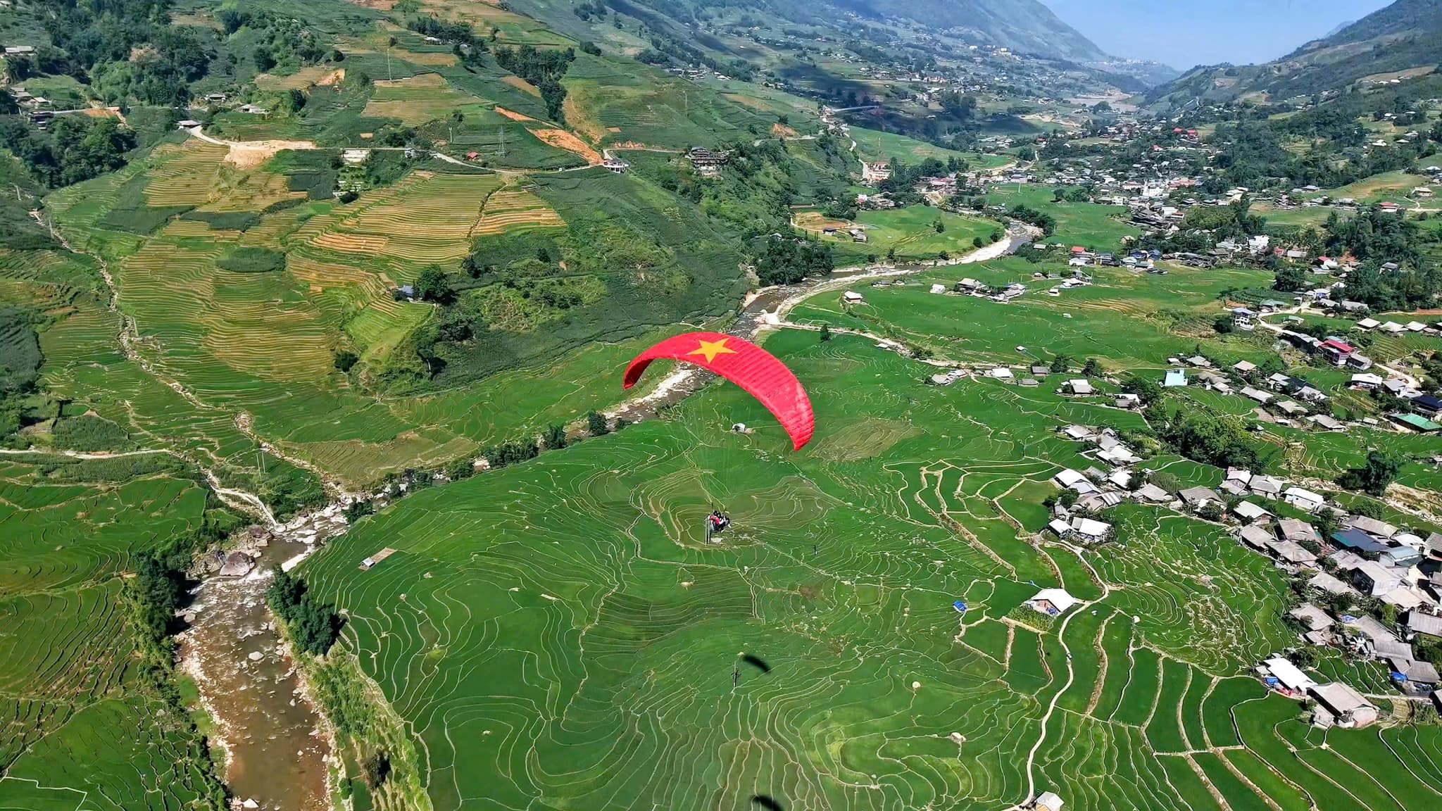
Flug über das Mường-Hoa-Tal
Wolkenschwaden – Reisterrassen – Fansipan
- 1.500–2.000 mStarthöhe
- 10–15 MinutenIn der Luft, je nach Wind
Gleitschirmfliegen in Sapa
Auf einen Blick
Starthöhe
1.500–2.000 m
Flugzeit
10–15 Minuten
Gefühl
Ruhig und stabil
Entdecken Sie Sapa aus einer ganz neuen Perspektive – bei einem Gleitschirmflug über dem Mường-Hoa-Tal. Der aufregende und zugleich sichere Tandemflug ist ideal für Einsteiger wie für Abenteuerlustige. Sie starten im Dorf Hàng Đá, einem der höchstgelegenen Gleitschirm-Startplätze Vietnams, und schweben über die berühmten Reisterrassen des Mường-Hoa-Tals, nebelverhangene Dörfer und eine spektakuläre Berglandschaft. Gelandet wird im Dorf Lao Chải, wo Sie die Kultur und Küche der H’mong kennenlernen können.
📦 IM PAKET ENTHALTEN:
📸 OPTIONALE LEISTUNGEN:
📌 WEITERE INFOS:
Bitte buchen Sie im Voraus, damit wir Ihren Gleitschirmflug bestmöglich planen können!
Wir haben noch viele weitere traumhafte Fluggebiete in ganz Vietnam
Fluggebiet auf Google Maps
Mehr über dieses Fluggebiet auf
Anfahrtskarte
Tippen Sie auf eine Karte, um sie in voller Größe zu öffnen.
Der Weg zum Fluggebiet Sa Pa

3D travel map of Sa Pa
16 stops around Sa Pa town and the Mường Hoa valley, including the paragliding take-off and landing. Tap a stop to fly in; drag, rotate and zoom freely.
━━ road━━ trekking route━━ funicular · cable car━━ paragliding flight line
16 stops on the map
1Sun Plaza & SquareTown centre · Meeting point
The heart of Sapa: funicular station, town square, stone church and the paragliding pick-up point.
2Ham Rong MountainBehind the stone church · On foot
A limestone mountain beside the town centre: climb past gardens, a stone forest and Heaven's Gate to a view over Sapa.
3Moana SapaViolet road · Photo park
A tropical-island-style photo park on Violet road, looking straight out over Muong Hoa Valley.
4FansipanRoof of Indochina · 3,143 m · far stop — zoom out to see it
Reach the Roof of Indochina by funicular and cable car from Sun Plaza, or trek 1–2 days from Tram Ton.
5Cat Cat VillageHmong village · Close to town
The Hmong village closest to town: walk down a stone path past water wheels to Cat Cat waterfall.
6Hang Da Take-offSapa Paragliding · Take-off
Where the flight begins: check-in counter, covered waiting area and a grass launch facing Muong Hoa Valley.
7Lao Chai LandingBlack Hmong village · Landing
A Black Hmong village on the floor of Muong Hoa Valley, where gliders land in the fields and the walk to Ta Van begins.
8Ta Van VillageMuong Hoa Valley · Village
A Giay village on the Muong Hoa stream: homestays, the ancient rock field nearby, and the usual end of the one-day trek.
9Ban Ho & Hot SpringEnd of Muong Hoa Valley · Tay village · far stop — zoom out to see it
A Tay village at the far end of Muong Hoa Valley, with a hot mineral spring in Ban Den hamlet – the finish of the long trek.
10Seo My Ty LakeAbove Ta Van · Mountain lake · far stop — zoom out to see it
A hydropower reservoir more than 1,600 m up above Ta Van, at the end of a steep, winding road – for confident riders.
11Ta Phin VillageNorth of town · Red Dao village · far stop — zoom out to see it
A Red Dao village north of Sapa, known for hand-embroidered brocade, herbal baths and the ruins of a stone monastery.
12Silver & Love FallsRoad QL4D · Waterfalls · far stop — zoom out to see it
Silver Waterfall sits beside road QL4D; Love Waterfall is a 30-minute forest walk into Hoang Lien – both on the same road.
13O Quy Ho PassRoad QL4D · Mountain pass & viewpoint · far stop — zoom out to see it
A pass of nearly 50 km linking Lao Cai and Lai Chau across the Hoang Lien Son range – a place for sunsets and cloud seas.
14Rong May Glass BridgeO Quy Ho Pass · Glass bridge & thrill games · far stop — zoom out to see it
An outdoor glass lift takes you up to a glass walkway reaching out from the cliff at about 2,200 m.
15Best View SapaCau May ward · Viewpoint
A hillside check-in spot at about 1,600 m, looking down on Muong Hoa Valley and Ta Van, close to the paragliding take-off.
16Muong Hoa funicularSun Plaza → Muong Hoa station · Funicular
A ride of about 6 minutes from the station inside Sun Plaza to the Fansipan cable car station, through tunnels and over viaducts above Muong Hoa Valley.
Momente vor Ort

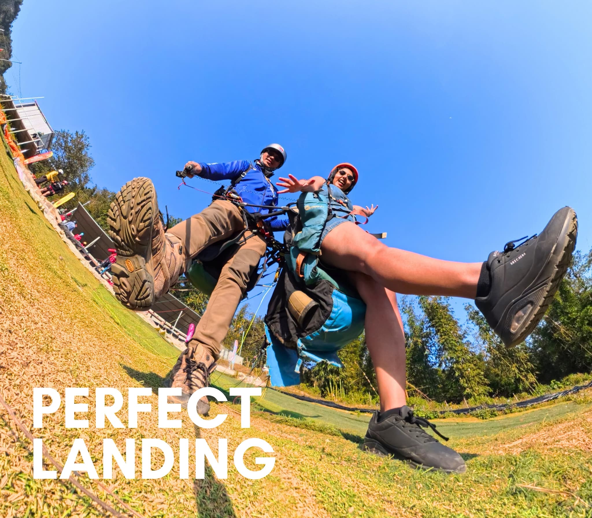
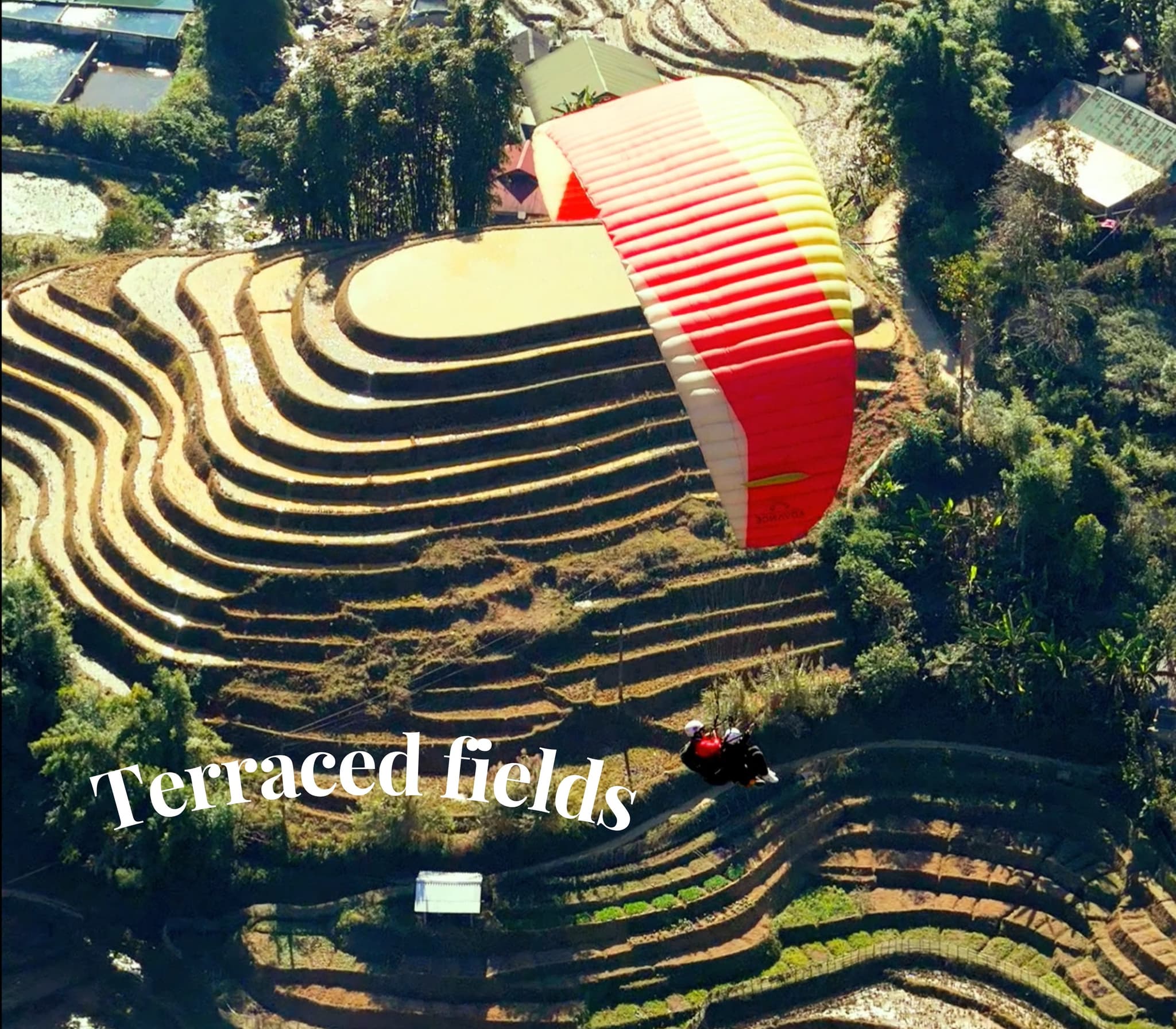
Geschichten und Erlebnisse
Unvergessliche Erlebnisse unserer Fluggäste
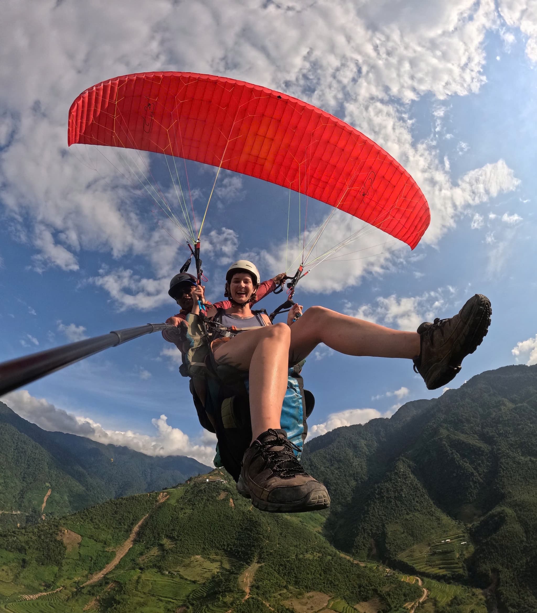
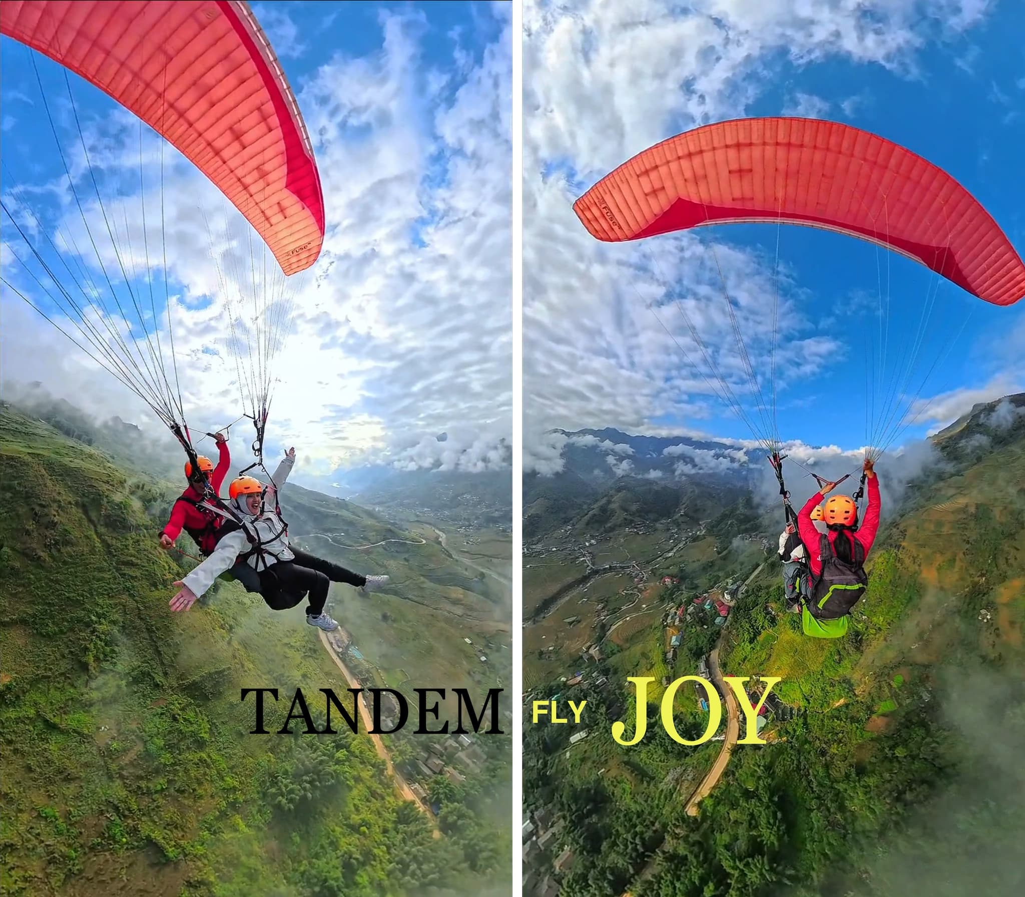
Über dem Mường-Hoa-Tal
Die Route folgt dem Mường-Hoa-Tal mit seinen gestaffelten Reisterrassen, in der Ferne thront der Fansipan. Weiter oben streifen wir eine dünne Wolkenschicht – Sa Pa pur.
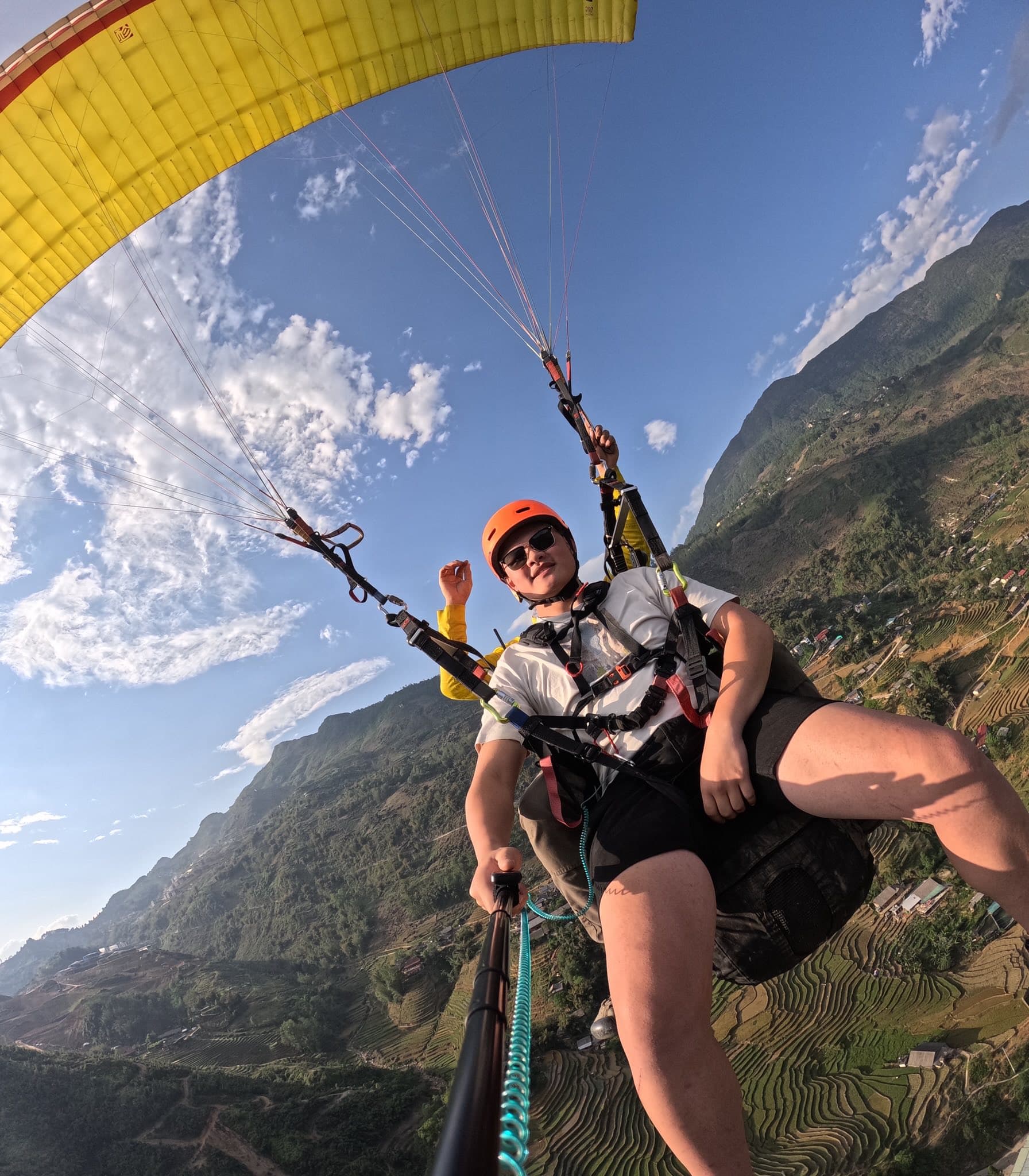
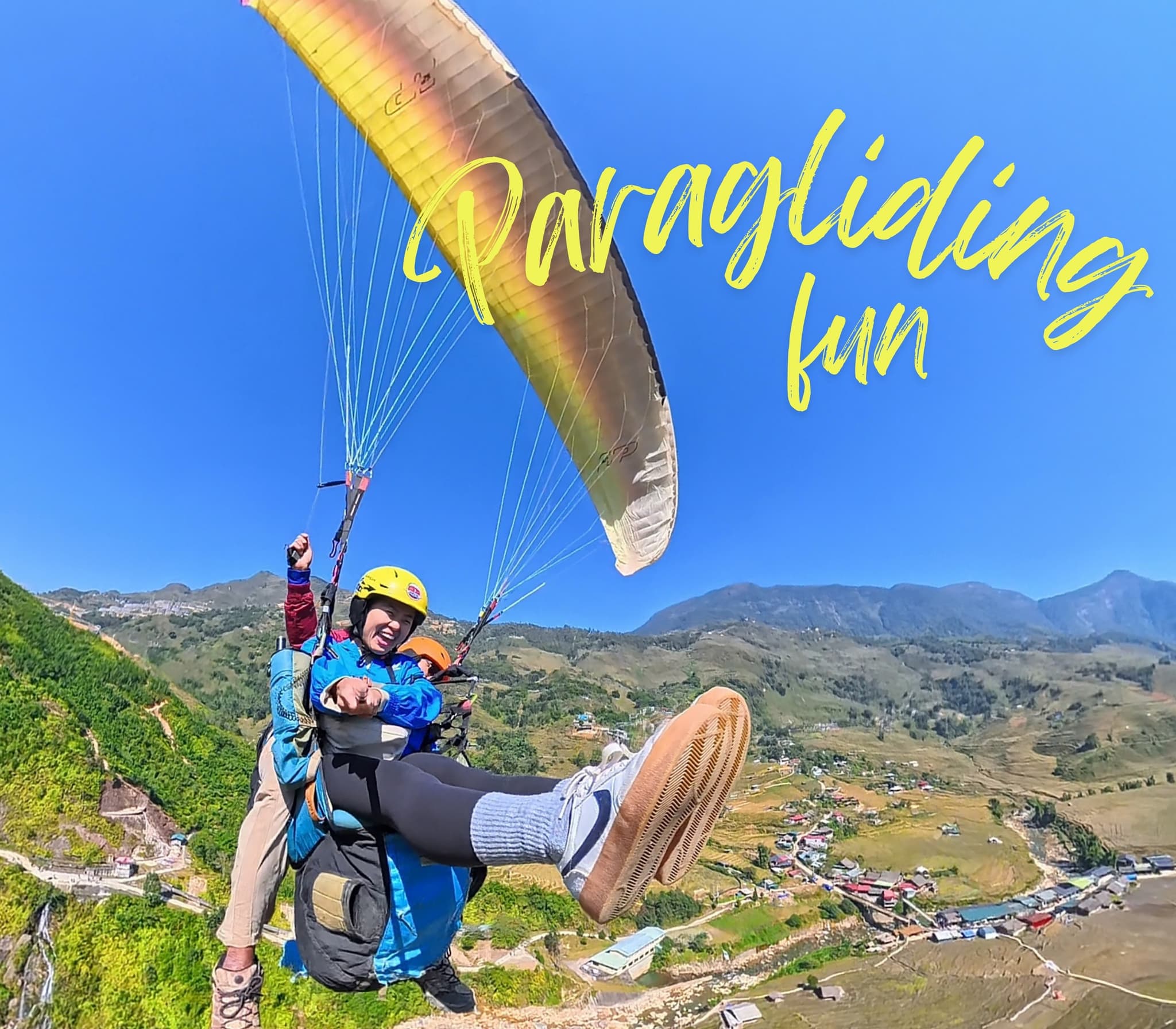
Raureif und Sonnenschein
Ein bitterkalter Morgen, aber ruhige Luft. Als die Sonne aufging, schmolz der Raureif und gab glitzernde Dörfer und Terrassen frei.
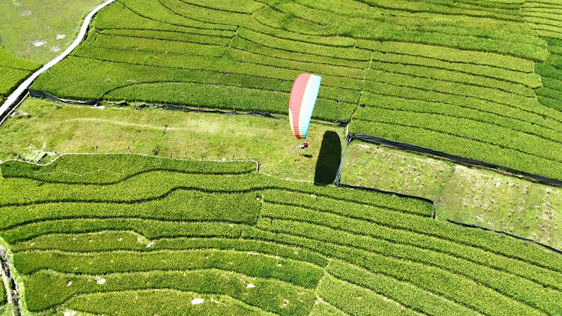
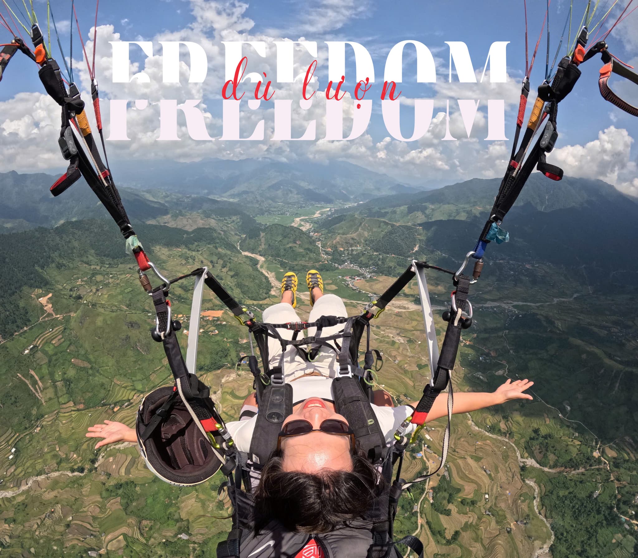
Landung im Mường-Hoa-Tal
Wir landeten mitten in jungen Reisfeldern, und Kinder kamen winkend angelaufen – eine unvergessliche Erinnerung.
Ratgeber & Beiträge Gleitschirmfliegen: Muong-Hoa-Tal (Sapa)
Fluggebietsführer, Flugtechnik für Piloten, Preise und Events
