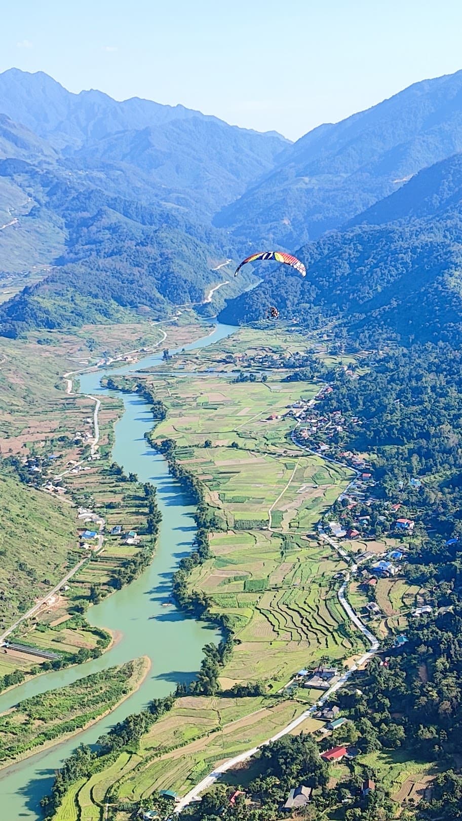
Flug über das Karstplateau Himmelstor von Hà Giang
Karstplateau – Zwillingsberge von Quản Bạ – Himmelstor – Fluss Miện
- 950 – 2.000 mStarthöhe
- 9 – 25 MinutenIn der Luft, je nach Wind
Gesteinsstruktur im Titel: Foto „Bãi đá mặt trăng Đồng Văn“, NKSTTSSHNVN / Wikimedia Commons, CC BY-SA 4.0
Aus dem Ausland zum Fliegen nach Ha Giang?
Unser Fluggebiet Quản Bạ hat eine eigene Website auf Deutsch – mit Preisen, aktuellem Flugstatus und Online-Buchung für internationale Gäste.
Gleitschirmfliegen in Ha Giang
Auf einen Blick
Starthöhe
950 – 2.000 m
Flugzeit
9 – 25 Minuten
Gefühl
Ruhig und stabil
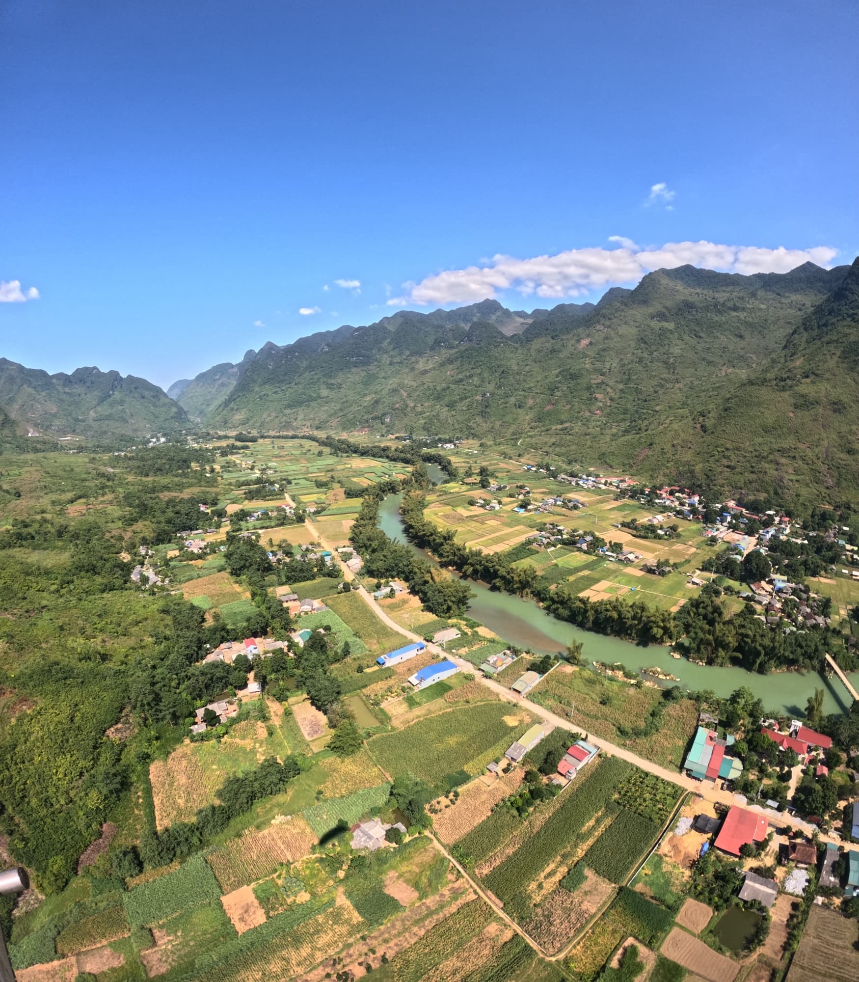
Gleitschirmfliegen in QUẢN BẠ – dem Tor zum Karstplateau von Đồng Văn. Sie starten auf 950 m und schweben über das gesamte Tal von Quản Bạ – mit Blick auf die Zwillingsberge von Quản Bạ, das Himmelstor, das Tal von Lùng Tám und den Fluss Miện, der sich um den Fuß der Berge windet.
🏍️ AUF DEM HA GIANG LOOP
Quản Bạ ist die erste Station des Ha Giang Loop – der berühmten Rundstrecke Hà Giang – Quản Bạ – Yên Minh – Đồng Văn – Mèo Vạc, rund 45 km von der Stadt Hà Giang entfernt. Legen Sie direkt unterhalb des Himmelstors von Quản Bạ einen Gleitschirmflug ein, sehen Sie das ganze Karstplateau von oben und fahren Sie dann weiter. Karte des Loops, Fotospots und Tipps finden Sie auf hagiangparamotor.com.
🪂 Fluggebiet betrieben von Mebayluon
📦 IM PAKET ENTHALTEN:
🪂 GLEITSCHIRM (PG) — ab 2.290.000 VND/Gast
+ Tandemflug mit Pilot, 9–15 Minuten je nach Wind
+ Sonnenuntergangspaket: 2.990.000 VND/Gast, 9–15 Minuten je nach Wind
+ Start am Berghang auf 950 m, Landung im Tal von Quản Bạ
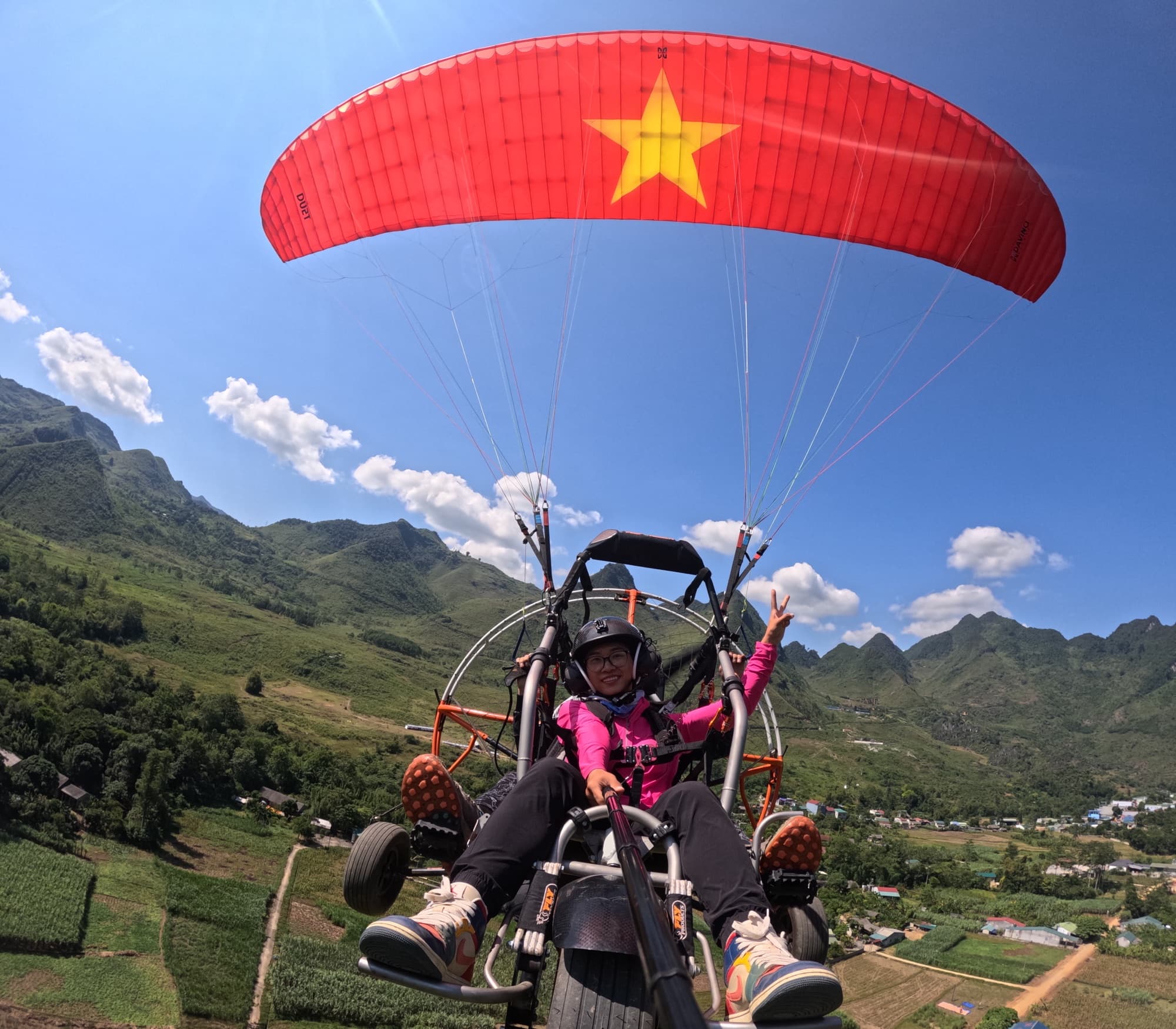
🚁 MOTORSCHIRM (PARAMOTOR, PPG) — ab 2.490.000 VND/Gast
+ Basispaket: 15 Minuten Flug
+ Premiumpaket: 20–25 Minuten, Wolkenjagd — Sonnenaufgang / Sonnenuntergang — 3.390.000 VND/Gast
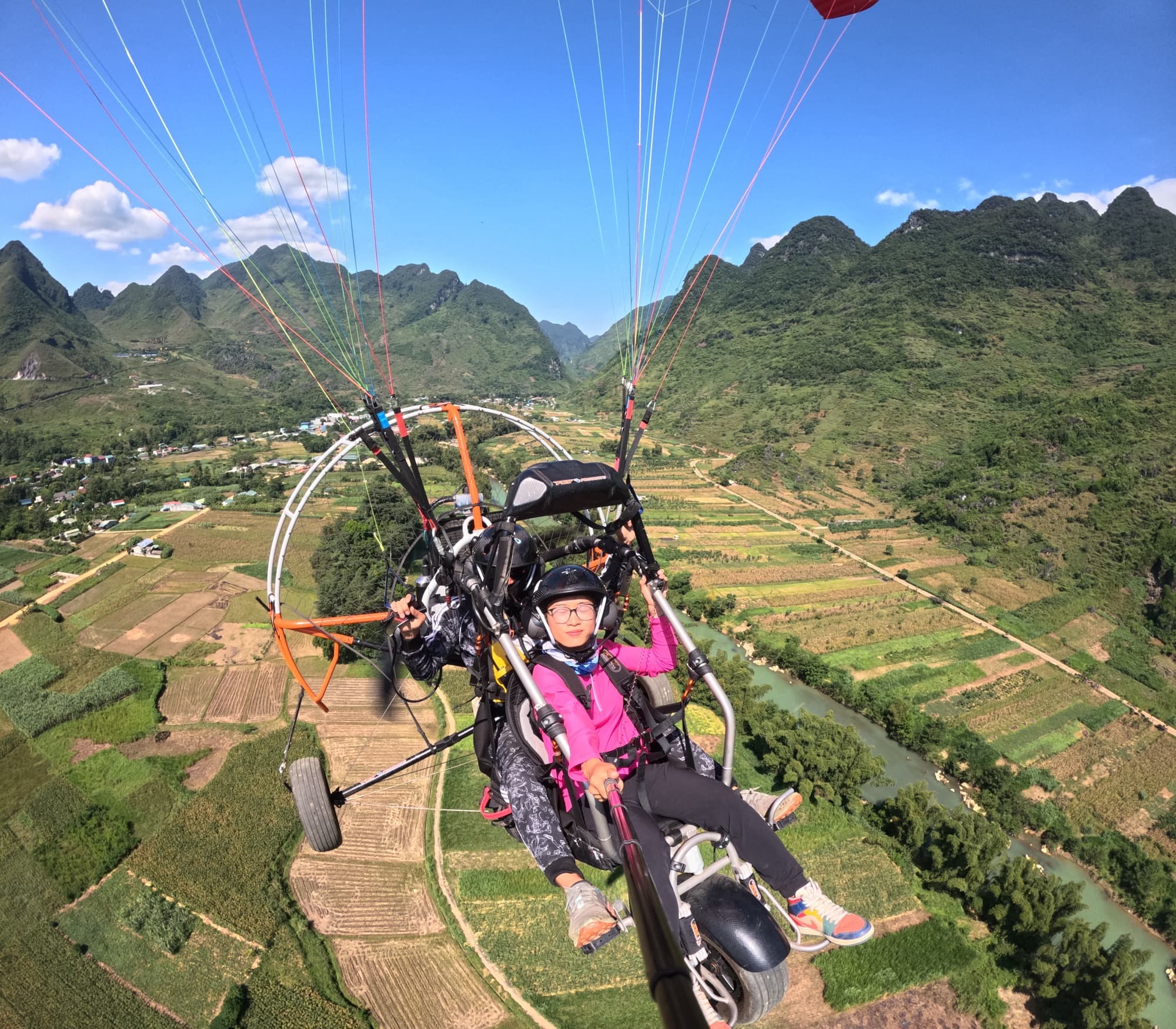
+ Start direkt im Tal und Aufstieg um Tausende Meter für das volle Panorama
📸 OPTIONALE LEISTUNGEN:
📌 WEITERE INFOS:
Bitte buchen Sie im Voraus, damit wir Ihren Flug bestmöglich planen können!
Wir haben noch viele weitere traumhafte Fluggebiete in ganz Vietnam
3D map of the Quản Bạ flying site
The 950 m paragliding take-off, the 450 m landing by the Miện River (also the paramotor take-off), the Núi Đôi twin hills, Heaven's Gate, Nặm Đăm and Lùng Tám. Tap a stop to fly in; drag, rotate and zoom freely.
━━ National Road 4C━━ small paved road━━ paragliding flight line
Stops on the map
1Quản Bạ centreformer Tam Sơn town
The centre of Quản Bạ commune (the former Tam Sơn town): food, lodging and the pick-up point for flights. From here, 1.6 km along National Road 4C and 1.5 km up the side road lead to the paragliding take-off.
2Núi Đôi Cô TiênFairy Bosom twin hills
Two round hills side by side in the Tam Sơn valley, the emblem of Quản Bạ. From the glider you look straight down on them, next to Quản Bạ centre.
3Paragliding take-offTAKE-OFF · 950 m
The paragliding take-off on the mountainside at 950 m. From Quản Bạ centre, 1.6 km along National Road 4C then 1.5 km up; the flight descends into the Miện River valley with views of the twin hills, Heaven's Gate and Lùng Tám.
4Landing field · PPG take-offLANDING · 450 m
The paragliding landing field by the Miện River at 450 m, also the paramotor (PPG) take-off. About 10.5 km from Quản Bạ centre: 8 km further along National Road 4C, then 0.9 km of concrete lane.
5Quản Bạ Heaven's Gatepass on National Road 4C
The pass on National Road 4C just before it drops to Quản Bạ centre, 3.4 km away: the classic stop for the view over the Tam Sơn valley and the twin hills.
6Nặm Đămcommunity-based tourism village
A community-based tourism village of rammed-earth houses with yin-yang tiled roofs; within the pick-up area for flights in Quản Bạ.
7Lùng Támlinen weaving village
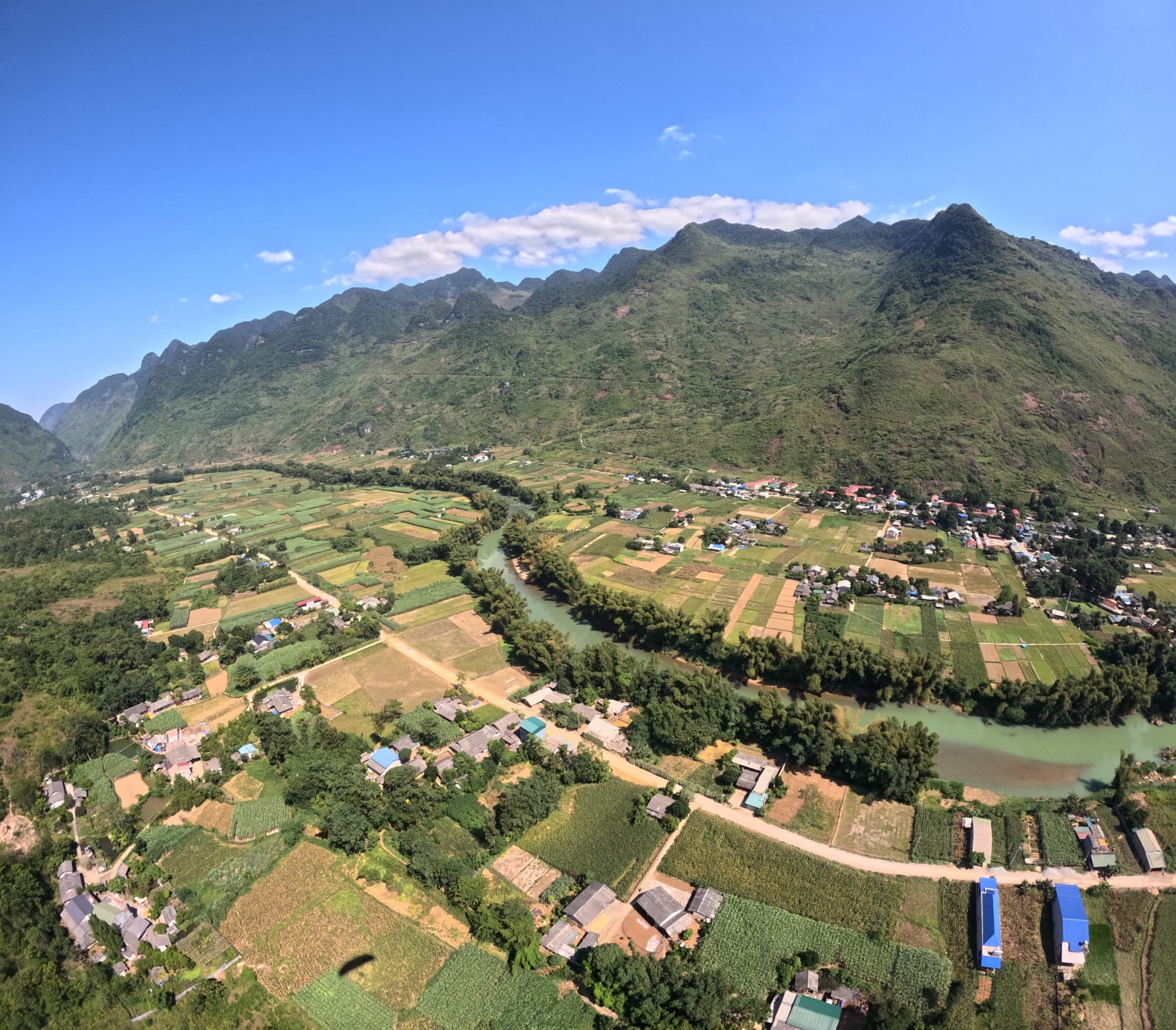
A linen weaving village in the Miện River valley; from the air you see the Lùng Tám valley and the river winding round the foot of the mountains.
Momente vor Ort
Geschichten und Erlebnisse
Unvergessliche Erlebnisse unserer Fluggäste
Über dem Karstplateau
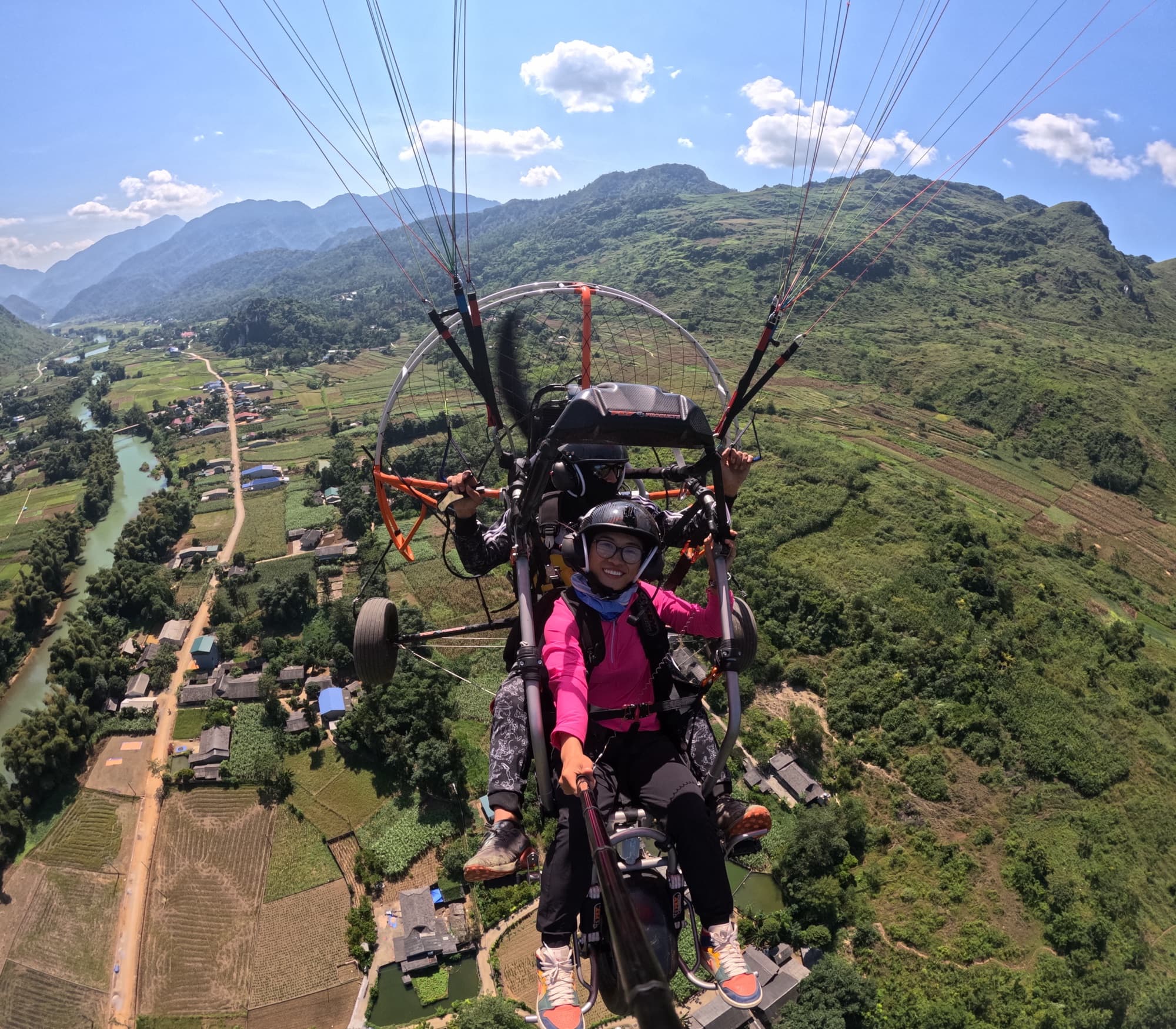
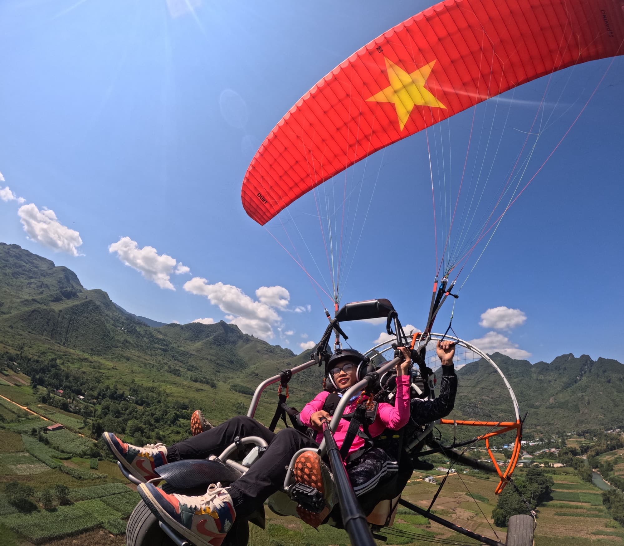
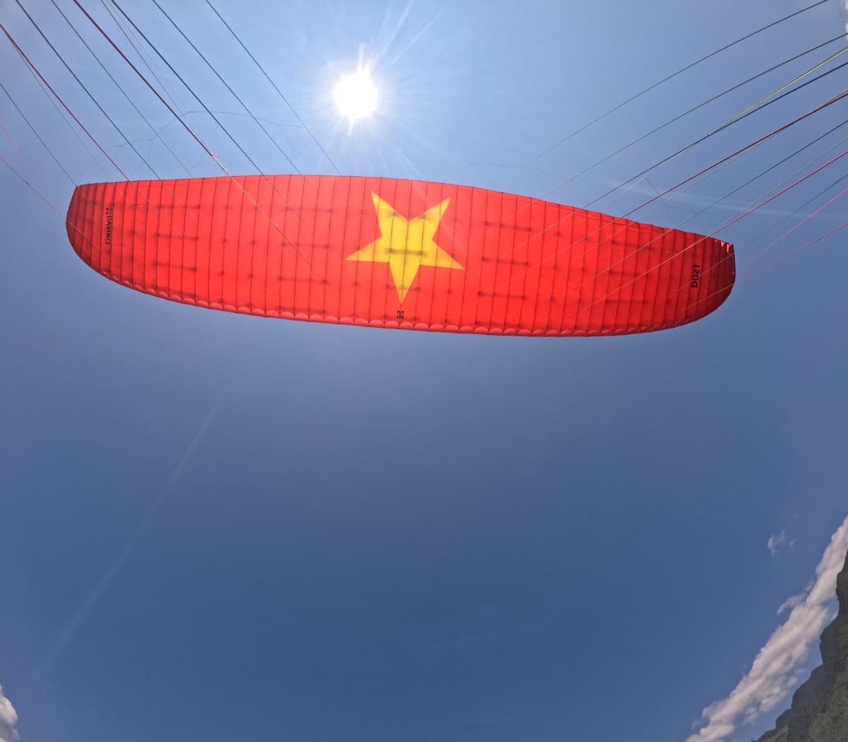
Erkundungsflug in Quản Bạ: Start auf 950 m, und die Kalksteingrate in Form von Katzenohren ziehen unter dem Schirm vorbei bis hinauf zum Himmelstor. Das Tor zum Karstplateau von Đồng Văn sieht aus der Luft schöner aus als von jedem Aussichtspunkt am Pass.
Das Tal von Quản Bạ unter dem Schirm
Maisfelder, Dörfer, eine Betonstraße und ein Fluss, der sich am Fuß der Berge entlangschlängelt, breiten sich aus wie eine lebendige Landkarte. Die Zwillingsberge liegen mitten im Tal – sobald der Pilot darauf zeigt, entdecken die Gäste sie sofort.
Wolkenjagd bei Sonnenaufgang mit dem Motorschirm
Das PPG-Paket mit 20–25 Minuten bringt Sie bei Sonnenaufgang nach oben, wenn die kleinen Täler rund um Tam Sơn noch voller Wolken sind und nur die Felsgipfel herausragen. Buchen Sie im Voraus, damit wir den Flug nach der Sonne planen können.
Ratgeber & Beiträge Gleitschirmfliegen: Quan Ba (Ha Giang)
Fluggebietsführer, Flugtechnik für Piloten, Preise und Events