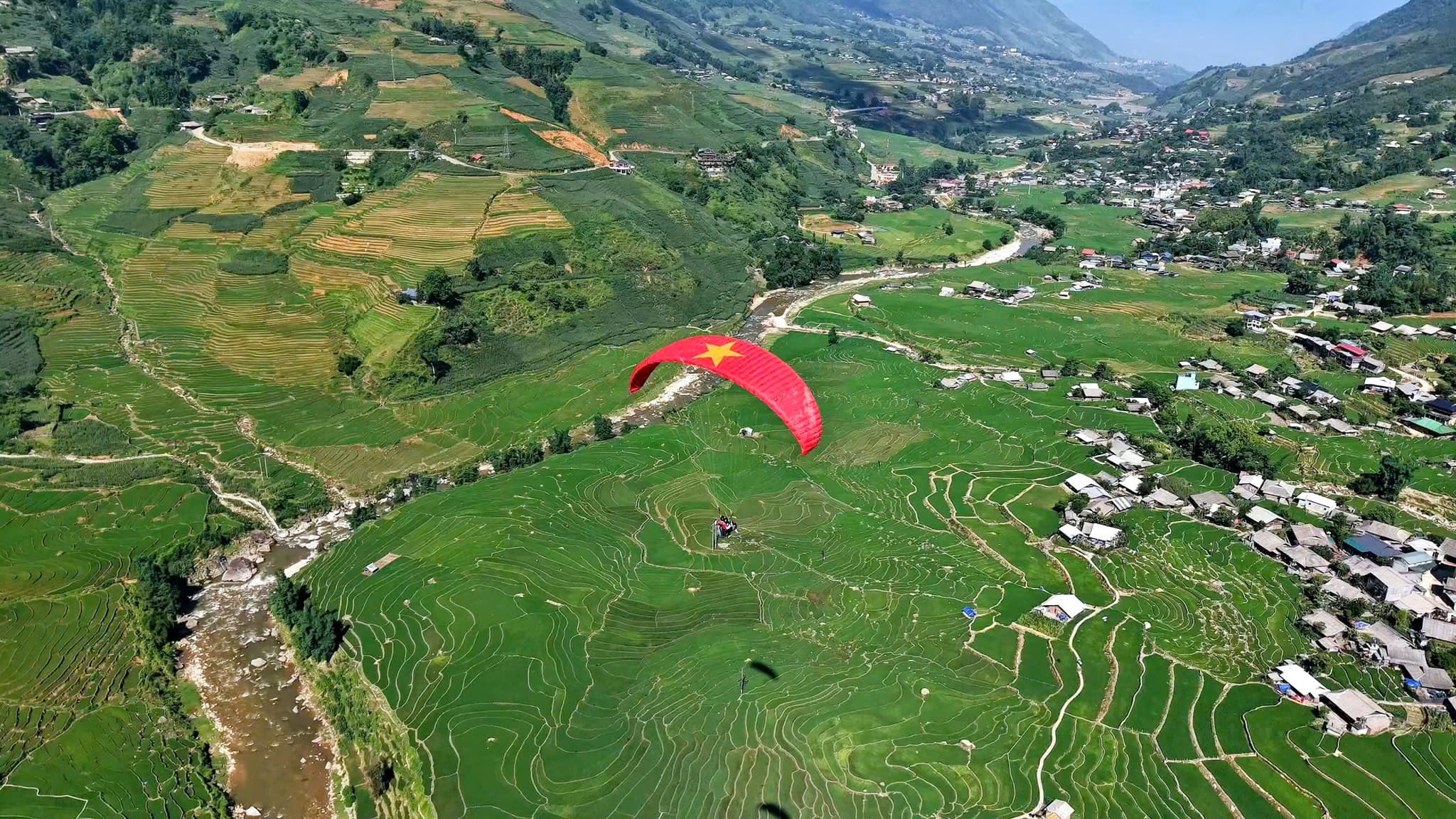
沙坝 – 孟花谷飞行点
快速信息
起飞高度
约 1,500 米
飞行时长
8–15 分钟
感受
平稳顺滑
沙坝 – 孟花谷飞行点属于 Mebayluon 体系,由 Sapa Paragliding 团队直接运营。飞行时段、价格与沙坝滑翔伞攻略都在沙坝团队的官网上;本页只是飞行点的简短介绍。
📌 更多信息:
与 Mebayluon 安全飞行
- 飞行员经过符合国际标准(APPI 与 IPPI)的严格培训,持有双人飞行员证书,并在载客前积累足够的飞行小时和数千架次的飞行经验。
- 原厂进口、符合国际标准的装备——伞翼、座袋、备用伞、头盔——每次飞行前检查,并定期检测。
- 只在天气安全时飞行,依据天气预报与现场飞行员的判断;每次飞行都为乘客购买保险。
在以下平台了解更多
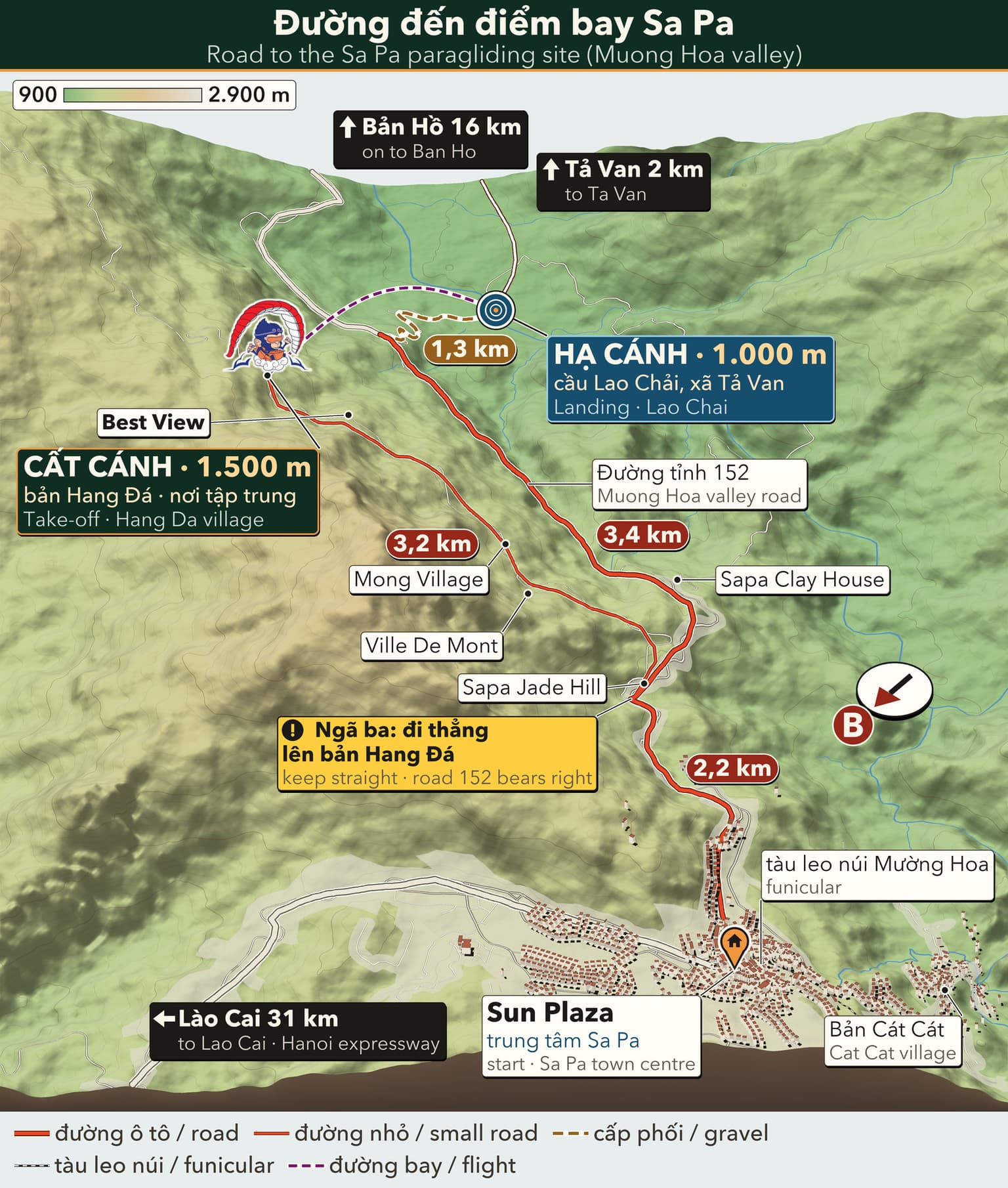
路线图
点击图片可查看大图。
前往沙巴飞行点的路线
3D travel map of Sa Pa
16 stops around Sa Pa town and the Mường Hoa valley, including the paragliding take-off and landing. Tap a stop to fly in; drag, rotate and zoom freely.
━━ road━━ trekking route━━ funicular · cable car━━ paragliding flight line
16 stops on the map
1 Sun Plaza & Square Town centre · Meeting point
The heart of Sapa: funicular station, town square, stone church and the paragliding pick-up point.
2 Ham Rong Mountain Behind the stone church · On foot
A limestone mountain beside the town centre: climb past gardens, a stone forest and Heaven's Gate to a view over Sapa.
3 Moana Sapa Violet road · Photo park
A tropical-island-style photo park on Violet road, looking straight out over Muong Hoa Valley.
4 Fansipan Roof of Indochina · 3,143 m · far stop — zoom out to see it
Reach the Roof of Indochina by funicular and cable car from Sun Plaza, or trek 1–2 days from Tram Ton.
5 Cat Cat Village Hmong village · Close to town
The Hmong village closest to town: walk down a stone path past water wheels to Cat Cat waterfall.
6 Hang Da Take-off Sapa Paragliding · Take-off
Where the flight begins: check-in counter, covered waiting area and a grass launch facing Muong Hoa Valley.
7 Lao Chai Landing Black Hmong village · Landing
A Black Hmong village on the floor of Muong Hoa Valley, where gliders land in the fields and the walk to Ta Van begins.
8 Ta Van Village Muong Hoa Valley · Village
A Giay village on the Muong Hoa stream: homestays, the ancient rock field nearby, and the usual end of the one-day trek.
9 Ban Ho & Hot Spring End of Muong Hoa Valley · Tay village · far stop — zoom out to see it
A Tay village at the far end of Muong Hoa Valley, with a hot mineral spring in Ban Den hamlet – the finish of the long trek.
10 Seo My Ty Lake Above Ta Van · Mountain lake · far stop — zoom out to see it
A hydropower reservoir more than 1,600 m up above Ta Van, at the end of a steep, winding road – for confident riders.
11 Ta Phin Village North of town · Red Dao village · far stop — zoom out to see it
A Red Dao village north of Sapa, known for hand-embroidered brocade, herbal baths and the ruins of a stone monastery.
12 Silver & Love Falls Road QL4D · Waterfalls · far stop — zoom out to see it
Silver Waterfall sits beside road QL4D; Love Waterfall is a 30-minute forest walk into Hoang Lien – both on the same road.
13 O Quy Ho Pass Road QL4D · Mountain pass & viewpoint · far stop — zoom out to see it
A pass of nearly 50 km linking Lao Cai and Lai Chau across the Hoang Lien Son range – a place for sunsets and cloud seas.
14 Rong May Glass Bridge O Quy Ho Pass · Glass bridge & thrill games · far stop — zoom out to see it
An outdoor glass lift takes you up to a glass walkway reaching out from the cliff at about 2,200 m.
15 Best View Sapa Cau May ward · Viewpoint
A hillside check-in spot at about 1,600 m, looking down on Muong Hoa Valley and Ta Van, close to the paragliding take-off.
16 Muong Hoa funicular Sun Plaza → Muong Hoa station · Funicular
A ride of about 6 minutes from the station inside Sun Plaza to the Fansipan cable car station, through tunnels and over viaducts above Muong Hoa Valley.
精彩瞬间


故事与体验
听听游客留下的难忘分享
飞越芒华山谷
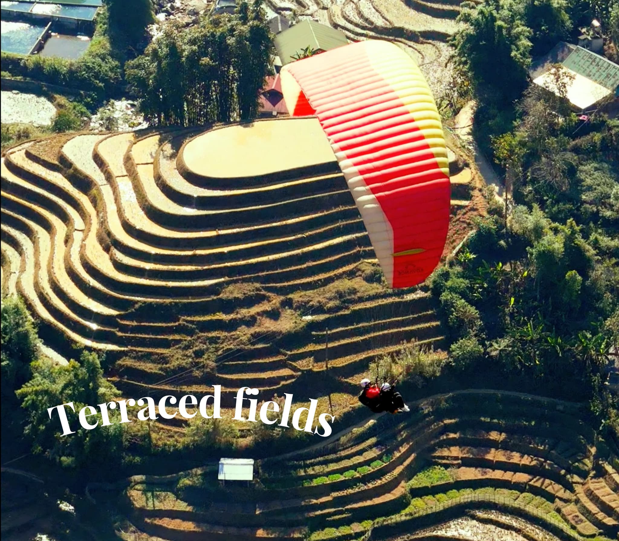
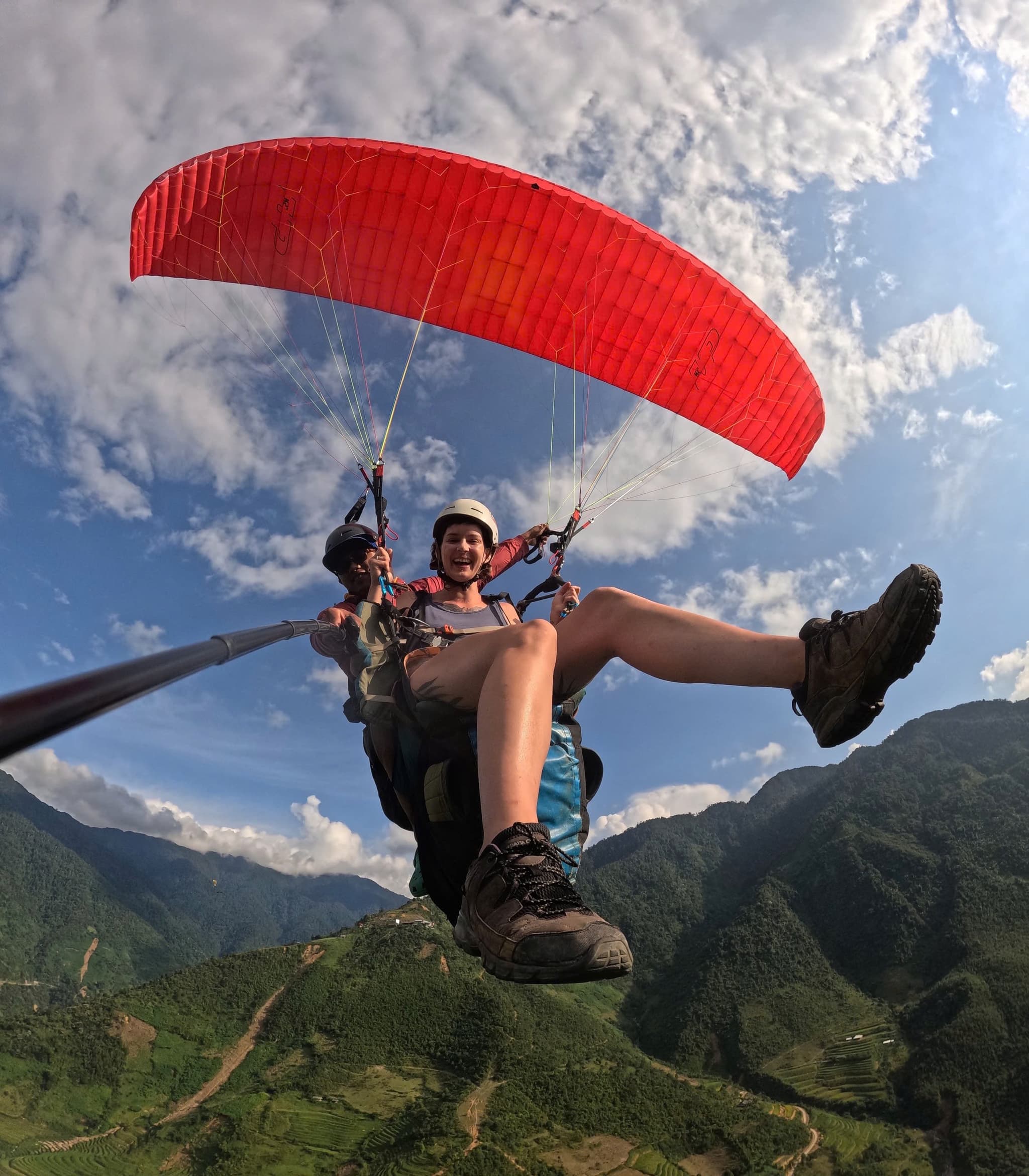
航线沿着芒华山谷展开,层层梯田与远处的番西邦尽收眼底。升高后掠过一层薄云——这就是沙坝的味道。
霜与阳光
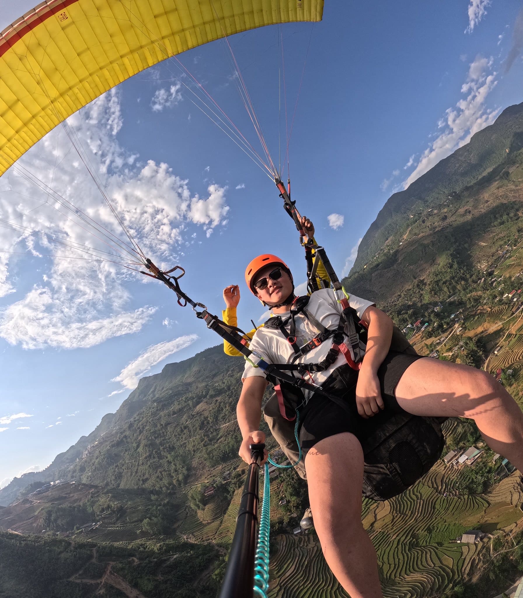
清晨寒意十足但气流平稳。太阳升起后霜雾散去,村落与梯田在光里闪闪发亮。
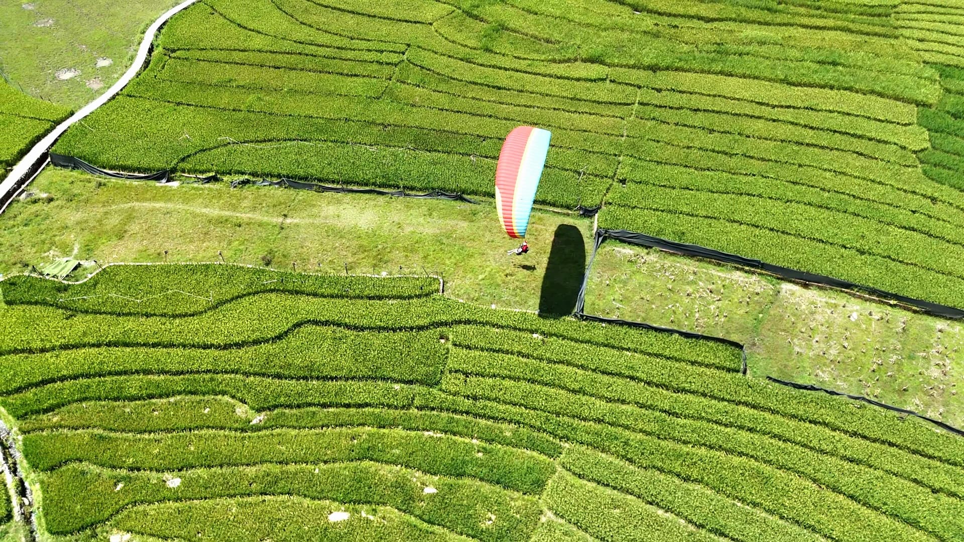
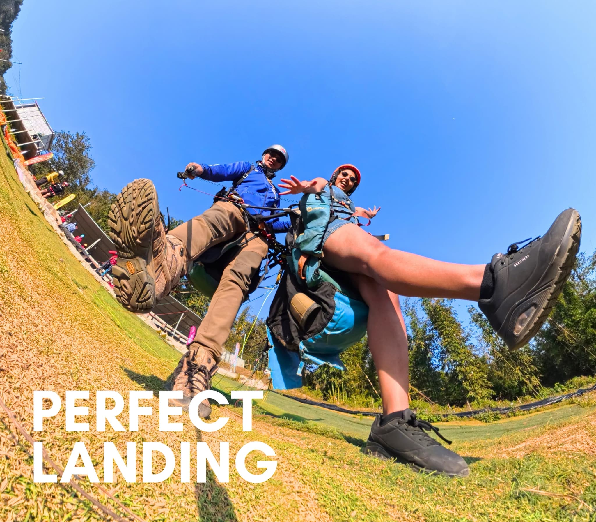
在芒华轻松着陆
在嫩绿稻田旁降落,孩子们跑来挥手——那一刻真的很难忘。
攻略与文章 孟花谷(沙坝)滑翔伞
飞行点攻略、飞行技术、价格与活动
