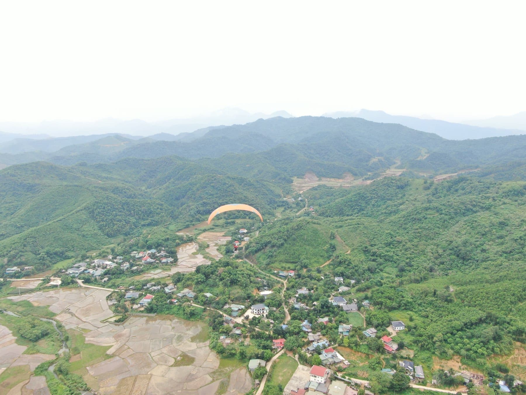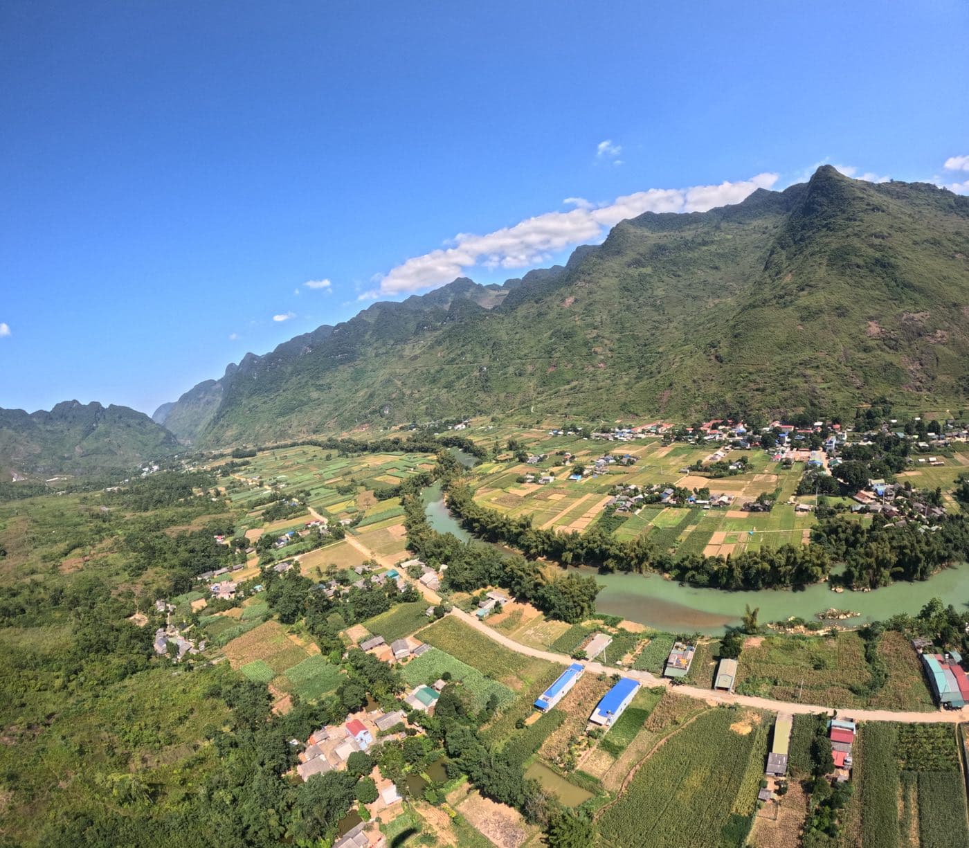
Wind is what keeps the wing in the air, and it is also the thing most likely to hurt you if you misread it. Most incidents we see on our sites do not start with poor technique but with a bad call about the wind: launching when it is already too strong, flying into the lee side, landing just downwind of a tree line. This article collects what a pilot needs to understand about wind before leaving the hill, the way we explain it on launch.
Wind versus your wing's speed
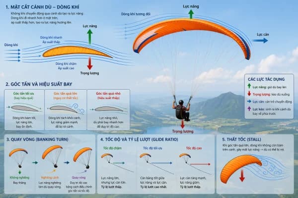
A wing flies through the airmass, not over the ground. An EN-A or EN-B glider at trim speed (hands up) does roughly 36–38 km/h, about 10 m/s through the air; full speed bar adds another 10–12 km/h or so. Your groundspeed is airspeed minus the headwind. With 20 km/h straight on the nose you make only 16–18 km/h over the ground; at 36 km/h you are standing still; above that you go backwards, even though the wing is flying perfectly normally. Two more things to keep in mind. Wind force rises with the square of its speed: double the wind and the pull on the wing during layout, inflation and landing is four times greater. And turbulence behind terrain also grows faster than the wind itself. Lower-rated wings settle themselves and forgive more in rough air; high-performance wings penetrate better but ask the pilot to stay actively involved.
| Mean wind | km/h | Assessment |
|---|---|---|
| Below 2 m/s | below 7 | Light: forward launch with a long run; hard to soar |
| 2–3 m/s | 7–11 | Flyable for pilots who launch confidently on their own |
| 3–4 m/s | 11–14 | Ideal: comfortable reverse launch, steady ridge lift |
| 4–6 m/s | 14–22 | Getting strong: experienced pilots only, with a helper at layout |
| Above 6 m/s | above 22 | Too strong (gió xiết): no flying |
Why is the limit 6 m/s and not 10 m/s? Because 6 m/s is the mean wind measured on launch, and the wind above your head is usually stronger, and stronger again over passes and ridges. A 6 m/s wind on launch can be over 10 m/s at the height you are flying, which is your wing's trim speed: at that point you have no margin left to push forward.
Wind gradient: why the wind near the ground is different
The ground, grass, trees and buildings slow the wind through friction, so the wind right at the surface is weaker than the wind a few dozen metres up. This change of wind speed with height is the wind gradient. The rougher the surface (forest, villages, tree lines) and the stronger the wind, the sharper the gradient. There is more on the mechanism in Meteorology part 2: wind and gradient. On launch you stand on the ground and feel a light breeze, but the wing, 7–8 m above your head, is already in stronger air: inflation can pull harder than you expect. On landing, as you descend through the gradient on final into wind, the headwind fades and your airspeed drops with it, so the wing sinks faster. If you are deep on the brakes at that moment, the wing can stall a few metres up. The fix: on windy days keep your speed on final, do not brake deeply at 10–15 m, and flare firmly only when the ground is close.
Wind onto the slope and ridge lift
Vietnamese pilots call wind blowing onto a mountainside gió núi. When that wind meets a slope, the air is forced upwards and creates ridge lift: this is what lets you soar for hours in front of launch. Ridge lift is strongest when the wind meets the slope square on, the slope is moderately steep and smooth (grass is better than forest); concave bowls gather the wind better than spurs that stick out. The soarable band does not stay put. In light wind it sits low and close to the slope; as the wind picks up it shifts back towards and behind the crest. That is the classic trap: a pilot keeps working the ridge while the wind strengthens, penetration drops, and the wing is blown back over the top into the lee side. The warning signs and the way out are in avoiding being blown back behind the hill.
The daily wind cycle in the mountains
Besides the pressure-driven (synoptic) wind, mountains produce their own thermally driven breezes. The principle is simple: near the ground, air flows from cool areas towards warm ones. On a sunny day the slopes heat faster than the valley, so air creeps up them; at night it is the reverse. A typical day on the mountain sites of northern Vietnam:
- Early morning: near calm, with some leftover down-valley wind from the night; fog or a sea of cloud sits in the valleys.
- Mid-morning: the upslope breeze (anabatic) starts on the upper part of the sunlit faces and spreads downwards. Faces that get their upslope breeze early usually produce the first thermals.
- Midday to 14:00–15:00: the valley breeze builds up-valley; thermals mix the stronger wind aloft down to the surface, so the wind on launch rises quickly. This is when wind and thermals peak, and when launch is most likely to go over the strong-wind limit.
- Late afternoon: faces that go into shade first can switch to a downslope flow quite suddenly while the valley breeze is still blowing up. Landing in a narrow valley at this time, expect shifts in wind direction and speed.
- Evening and night: the downslope (katabatic) and down-valley winds take over. Do not take a "last flight" once the wind on launch is blowing down the slope, however lightly.
Venturi: wind speeding up over passes, ridges and gaps
When the airflow is squeezed through a constriction (a pass, a gap between two summits, a narrowing valley) or flows over the top of a long ridge, it has to speed up. That is the venturi effect. The accelerated layer is thin and strongest right at the crest, and it usually becomes significant once the wind is about 20 km/h or more. In practice: on a day when launch already has close to 6 m/s, the wind over passes and ridges can exceed 10 m/s; you can take off but not push forward. A few rules: do not fly through gaps or cross low passes in strong wind; the lower you are, the further out in front of the gap you should stay; cross ridges with a generous height margin. The downwind side of gaps and passes is where the accelerated flow breaks up into turbulence.
Rotor and the lee side
Wind flows over an obstacle the way water flows over a rock: behind it are rolling eddies called rotor. The obstacle can be a tree line, a row of houses, a hill or a whole mountain range. In rotor the wing surges and pitches, rolls, and sometimes the wind even reverses; close to the ground it is a leading cause of collapses on approach. The steeper the back side and the stronger the wind, the nastier the rotor. Rotor is most organised in stable air with moderate wind; on strongly thermic days it is torn into less predictable turbulence. The rule we use to estimate a safe distance downwind: Rotor length (m) ≈ obstacle height (m) × 0.6 × wind speed (km/h). A 20 m tree line in 15 km/h: 20 × 0.6 × 15 ≈ 180 m. A 100 m hill in 18 km/h (5 m/s): about 1,080 m. So on a moderately windy day, if the landing field has tall trees on its upwind edge, the first 100–200 m behind them is not where you want to touch down.
A common trap on launch: rotor behind the mountain pushes air back up the lee face, so the windsock looks as if the wind is straight in while the real wind is coming over the back. The moment you leave the hill you drop into sinking, churning air. So always cross-check the launch windsock against the landing windsock, cloud movement and the forecast winds aloft before you trust it. How to fly once you are in rough air is covered in Turbulence part 3: flying in turbulence and the lee side.
The four launch wind terms we use
| Term | Meaning | For launching |
|---|---|---|
| Straight in (gió chính bãi) | Wind blowing straight onto launch, square to the slope | The standard case. Forward launch in light wind, reverse launch at 3–4 m/s |
| Crosswind (gió ngang) | Wind at an angle to the launch direction | One side of the wing rises first and ridge lift weakens. A small angle is flyable with good ground handling; lay out to the real wind, not to the slope |
| Over the back (gió sau) | Wind coming from behind launch | No launch. The air in front of launch is then on the lee side |
| Too strong (gió xiết) | Mean wind (gusts not included) in the layer from launch up to about 1,000 m above it stronger than 6 m/s | No flying: beyond the wing's forward-speed margin, and venturi can push it past 10 m/s. Gusts alone are never called gió xiết |
Reading windsocks and other wind indicators
- Windsock angle: hanging limp means very light wind, horizontal means it is already strong. Every site's windsock has a different weight, so calibrate it a few times against a hand-held anemometer to learn what angle means how many m/s.
- Flapping, swinging windsock: gusty, turbulent air. If within a few seconds the speed changes by more than about 8 km/h or the direction by more than 30°, wait.
- Compare launch and landing windsocks: if they point in opposite directions, suspect rotor, valley breeze or a wind shift. Always land according to the landing-field windsock, not the wind you launched in.
- Streamers on poles: light, so they react faster than the windsock; good for reading gusts and lulls just before you inflate.
- Trees, smoke, water: large branches moving and smoke lying almost flat mean strong wind; forest showing the pale underside of its leaves lets you read the wind on the slope from the valley floor. Ponds and flooded paddies are glassy along the upwind bank and rippled towards the downwind side.
- Other wings and birds: a wing standing still or going backwards means the wind aloft is already too strong; birds flying low with folded wings are a bad sign.
More field signs of turbulence are in Turbulence part 2: how to recognise it.
Go or no-go: the rules of thumb we use every day
- Mean wind in the launch layer above 6 m/s is too strong: no flying, even if the windsock happens to be sagging in a lull.
- Treat gusts separately. Forecasts give the mean wind; gusts are often around 1.5 times that. A 4 m/s mean with gusts to 8 m/s is a day to think hard about.
- Wind over the back: no launch. On those days choose a site facing another direction.
- Work out the rotor length before choosing where to land: obstacle height × 0.6 × wind (km/h). If there is no landing option outside that zone, do not launch.
- Watch the wind build through the day: 5 m/s at 10:00 will often keep rising until 14:00–15:00. If after launch your groundspeed heading out is close to zero, leave the ridge, push out in front and head for the landing field straight away.
- Launch windsock, landing windsock and forecast winds aloft must agree; if one of the three tells a different story, find out why before you fly.
- Dark cloud or a rain curtain upwind: the gust front arrives a few minutes ahead of the rain. On the ground, pack up; in the air, land now.
Wind on paper is only half the job; the other half is reading it at each particular site. Our guide to flying Vien Nam mountain by wind direction shows how these principles apply to a real site, and weather for paragliding: what pilots should check covers reading the forecast before you head up the hill.