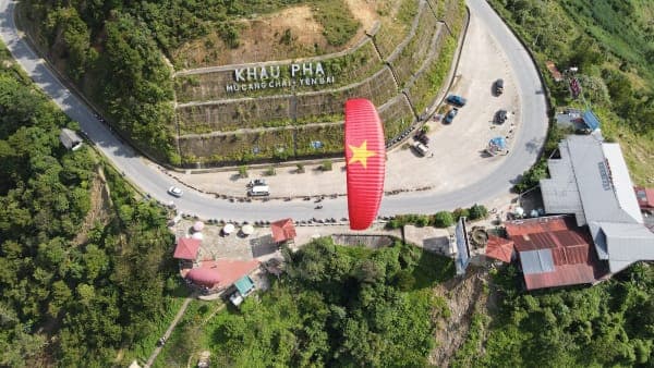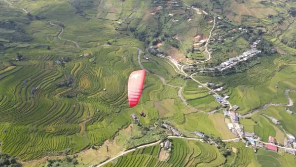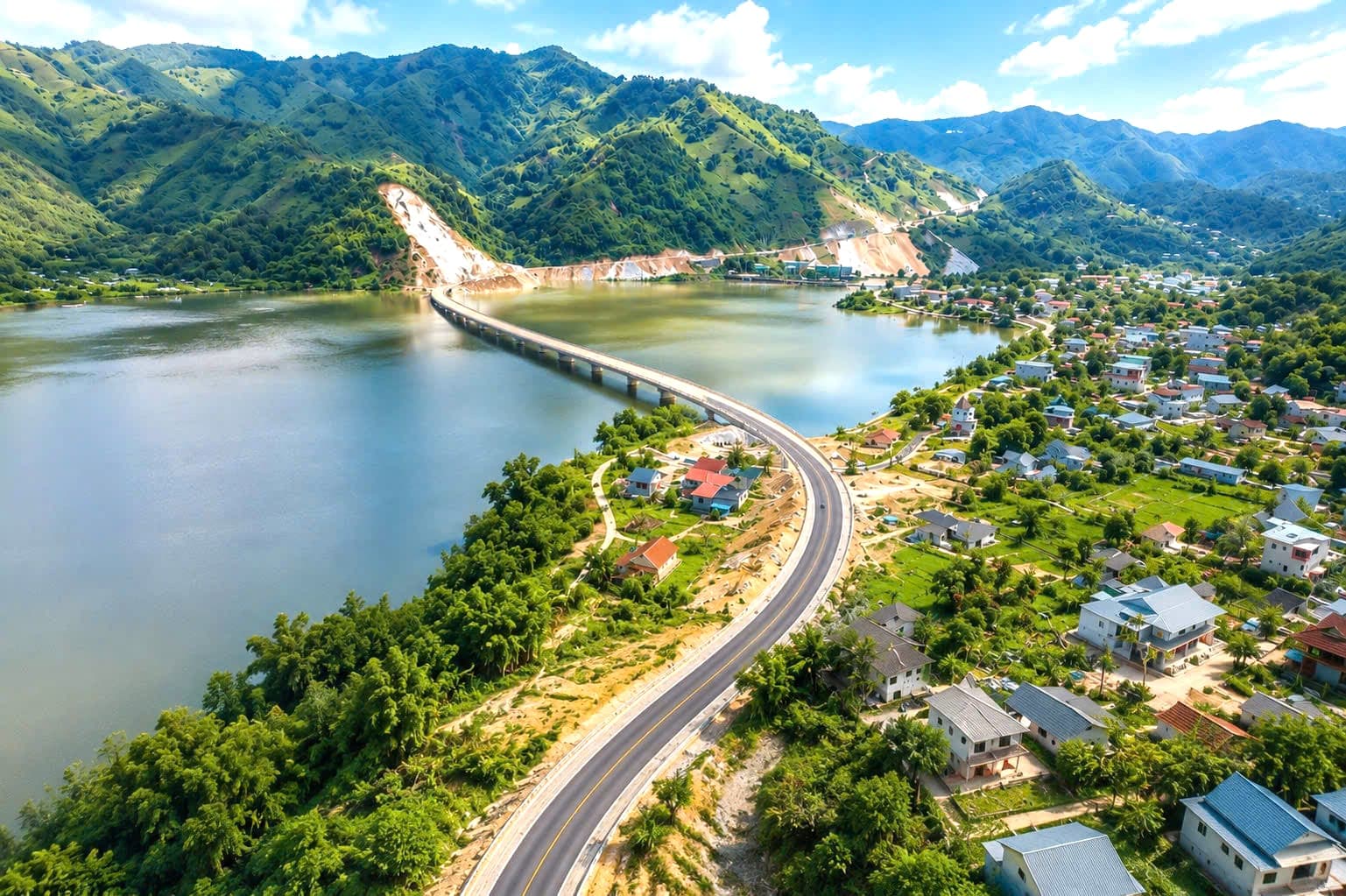
Good news if you are heading to Mu Cang Chai for this year's golden rice season: the road linking the IC14 junction on the Noi Bai – Lao Cai expressway with Nghia Lo is now essentially complete. About 98% of it has been paved, the few short sections still under construction already have a rolled stone base, so low-clearance cars get through fine, and it cuts roughly 25km of mountain pass driving compared with the older routes. The Mebayluon team recently drove the whole stretch – here is what you need to know before you set off. 👉 Once you are there, where do you fly and what does it cost? See our guide to paragliding in Mu Cang Chai.
🛣️ Current state of the route
The section from the IC14 junction (Mau A) through An Luong to Nghia Lo is now about 98% paved, built to a two-lane standard with a wide, open carriageway. The few short sections still under construction already have a rolled stone base course, so low-clearance cars get through normally – just slow down. Contractors are still working day and night on the remaining items: drainage ditches on both sides, road signs, lane markings and the traffic safety system. The key point: although it has not been officially inaugurated, the road is already open to normal traffic for every type of vehicle – motorbikes, cars and coaches alike. The road is part of the Northern Mountainous Provinces Transport Connectivity Project, funded by an ADB loan and Australian government aid, with Project Management Unit 2 (Ministry of Construction) as the investor. The full route runs about 53km, starting at the IC14 junction and ending where it meets National Highway 32.
⚖️ Compared with the older routes
Until now, travellers heading from Hanoi to Nghia Lo usually took one of two routes: exiting at IC13 onto National Highway 37, or exiting at IC12 (Yen Bai) and going through Nga Ba Mi. Both involve long stretches of steep mountain passes with one hairpin bend after another, tiring for anyone unused to mountain roads. The numbers make it clear: from IC14 to Lien Son is only about 56km and takes around 1 hour 20 minutes, while looping via IC12 means 85km and more than 2 hours. The IC14 – An Luong route has roughly 25km less mountain pass driving (about 40 minutes faster) and far fewer sharp bends. For passengers prone to car sickness, or families travelling with small children and older relatives, that difference matters a great deal.
🗺️ The recommended route from Hanoi
- Hanoi → Noi Bai – Lao Cai expressway, drive to around Km150
- Exit at the IC14 junction (Mau A) – watch the signs, do not exit at IC12 or IC13 by mistake
- IC14 → Nghia Lo: about 56km via An Luong on the new two-lane road with few mountain passes (Google Maps estimates 1 hour 45 minutes)
- Nghia Lo → Tu Le: join National Highway 32, about 50km
- Tu Le → Khau Pha Pass → Mu Cang Chai: about 50km
The total distance from Hanoi is about 250km. On the new route the journey time drops noticeably and the drive is far safer, especially for families travelling by car.
Travelling without your own car? We have a separate guide to every way of getting to Mu Cang Chai via Khau Pha Pass – sleeper coaches, limousine vans, self-drive rentals and motorbikes – with indicative fares and departure times.
⚠️ A few things to watch on the new route
- Travel during daylight if you can: signage and road markings are not fully finished, so night driving is harder
- Watch for construction traffic: contractors are still at work, so expect machinery and trucks around the site
- Slow down where drainage ditches are being built; some road shoulders are still unfinished
- Fill up before exiting at IC14 – petrol stations along the An Luong stretch are sparser than on the main highways
- Check the weather: in the rainy season, mountain roads always carry a risk of localised landslides
🚧 Coming soon: IC15 – Gia Hoi will cut another 40 km
Another route is also being rushed to completion: the IC15 junction (Dong Cuong) linking to National Highway 32 at Gia Hoi commune, about 50km long and expected to open this September. Once it is in service, the drive from the Noi Bai – Lao Cai expressway to Tu Le will be only around 80km, a saving of 40km on the current 120km – meaning Khau Pha Pass and Mu Cang Chai come significantly closer, on an easier and safer road. Cars can already use the route today, including low-clearance vehicles, although contractors are still rolling and surfacing some sections. The catch is that the IC15 junction on the expressway itself is not finished: you cannot leave the expressway at IC15 and must still exit at IC14 and double back. For that reason we do not recommend the IC15 direction at the moment, as it adds detours and travel time. We will update this article as soon as the route officially opens.
🪂 What this means for your flight
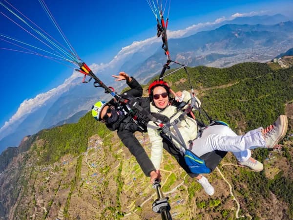
Until now many of our guests had to choose between driving through the night to make a morning flight, or losing a whole day to travel. With the new IC14 route you can leave Hanoi early in the morning, reach Khau Pha the same day, rest in Tu Le and fly during the golden window the next morning. A two-day, one-night itinerary is now far more comfortable. The golden rice season is approaching – if you are planning a paragliding flight over the terraced fields of Mu Cang Chai, now is a good time to book.