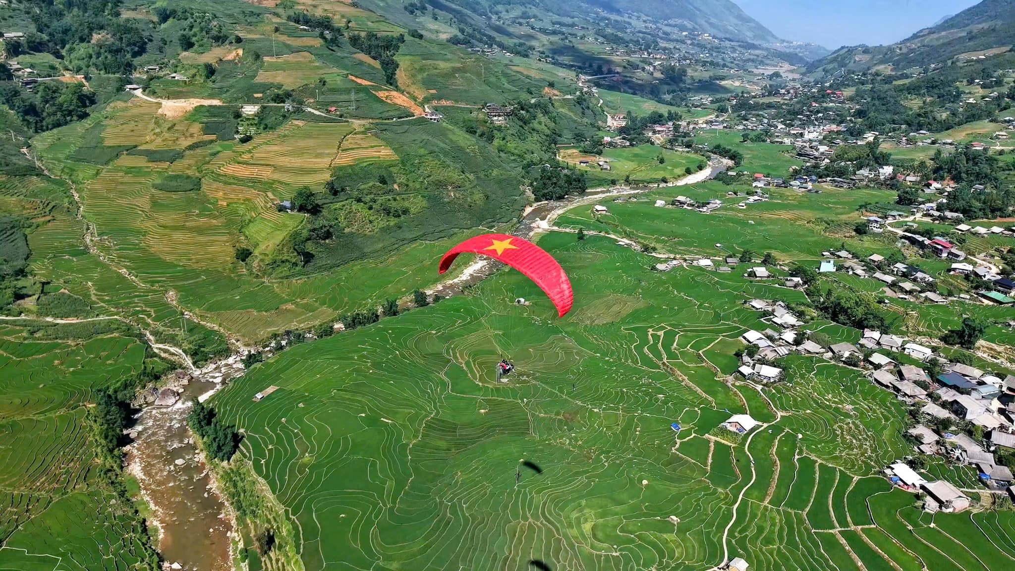
Mường Hoa 계곡 위를 날다
운해 – 계단식 논 – Fansipan
- 1,500–2,000 m이륙 고도
- 10–15분비행 시간, 바람에 따라 다름
Sapa 패러글라이딩
한눈에 보기
이륙 고도
1,500–2,000 m
비행 시간
10–15분
느낌
부드럽고 안정적
Mường Hoa 계곡 위를 나는 패러글라이딩으로 Sapa를 새로운 시선에서 만나 보세요. 짜릿하면서도 안전한 2인승 텐덤 비행이라 초보자는 물론 모험을 즐기는 분들께도 안성맞춤입니다. 베트남에서 가장 높은 패러글라이딩 이륙장 중 하나인 Hàng Đá 마을에서 이륙해 Mường Hoa 계곡의 상징적인 계단식 논과 안개 낀 마을, 장엄한 산악 풍경 위를 날아갑니다. 비행은 Lao Chải 마을에서 끝나며, 이곳에서 H’mong 족의 문화와 음식을 체험할 수 있습니다.
📦 포함 사항:
📸 선택 서비스:
📌 추가 정보:
최상의 패러글라이딩 체험을 준비할 수 있도록 미리 예약해 주세요!
Google 지도에서 비행 포인트 보기
이 비행 포인트 정보 더 보기
찾아가는 길 지도
지도를 누르면 크게 볼 수 있습니다.
Sa Pa 비행 포인트 가는 길

3D travel map of Sa Pa
16 stops around Sa Pa town and the Mường Hoa valley, including the paragliding take-off and landing. Tap a stop to fly in; drag, rotate and zoom freely.
━━ road━━ trekking route━━ funicular · cable car━━ paragliding flight line
16 stops on the map
1Sun Plaza & SquareTown centre · Meeting point
The heart of Sapa: funicular station, town square, stone church and the paragliding pick-up point.
2Ham Rong MountainBehind the stone church · On foot
A limestone mountain beside the town centre: climb past gardens, a stone forest and Heaven's Gate to a view over Sapa.
3Moana SapaViolet road · Photo park
A tropical-island-style photo park on Violet road, looking straight out over Muong Hoa Valley.
4FansipanRoof of Indochina · 3,143 m · far stop — zoom out to see it
Reach the Roof of Indochina by funicular and cable car from Sun Plaza, or trek 1–2 days from Tram Ton.
5Cat Cat VillageHmong village · Close to town
The Hmong village closest to town: walk down a stone path past water wheels to Cat Cat waterfall.
6Hang Da Take-offSapa Paragliding · Take-off
Where the flight begins: check-in counter, covered waiting area and a grass launch facing Muong Hoa Valley.
7Lao Chai LandingBlack Hmong village · Landing
A Black Hmong village on the floor of Muong Hoa Valley, where gliders land in the fields and the walk to Ta Van begins.
8Ta Van VillageMuong Hoa Valley · Village
A Giay village on the Muong Hoa stream: homestays, the ancient rock field nearby, and the usual end of the one-day trek.
9Ban Ho & Hot SpringEnd of Muong Hoa Valley · Tay village · far stop — zoom out to see it
A Tay village at the far end of Muong Hoa Valley, with a hot mineral spring in Ban Den hamlet – the finish of the long trek.
10Seo My Ty LakeAbove Ta Van · Mountain lake · far stop — zoom out to see it
A hydropower reservoir more than 1,600 m up above Ta Van, at the end of a steep, winding road – for confident riders.
11Ta Phin VillageNorth of town · Red Dao village · far stop — zoom out to see it
A Red Dao village north of Sapa, known for hand-embroidered brocade, herbal baths and the ruins of a stone monastery.
12Silver & Love FallsRoad QL4D · Waterfalls · far stop — zoom out to see it
Silver Waterfall sits beside road QL4D; Love Waterfall is a 30-minute forest walk into Hoang Lien – both on the same road.
13O Quy Ho PassRoad QL4D · Mountain pass & viewpoint · far stop — zoom out to see it
A pass of nearly 50 km linking Lao Cai and Lai Chau across the Hoang Lien Son range – a place for sunsets and cloud seas.
14Rong May Glass BridgeO Quy Ho Pass · Glass bridge & thrill games · far stop — zoom out to see it
An outdoor glass lift takes you up to a glass walkway reaching out from the cliff at about 2,200 m.
15Best View SapaCau May ward · Viewpoint
A hillside check-in spot at about 1,600 m, looking down on Muong Hoa Valley and Ta Van, close to the paragliding take-off.
16Muong Hoa funicularSun Plaza → Muong Hoa station · Funicular
A ride of about 6 minutes from the station inside Sun Plaza to the Fansipan cable car station, through tunnels and over viaducts above Muong Hoa Valley.
이곳의 순간들


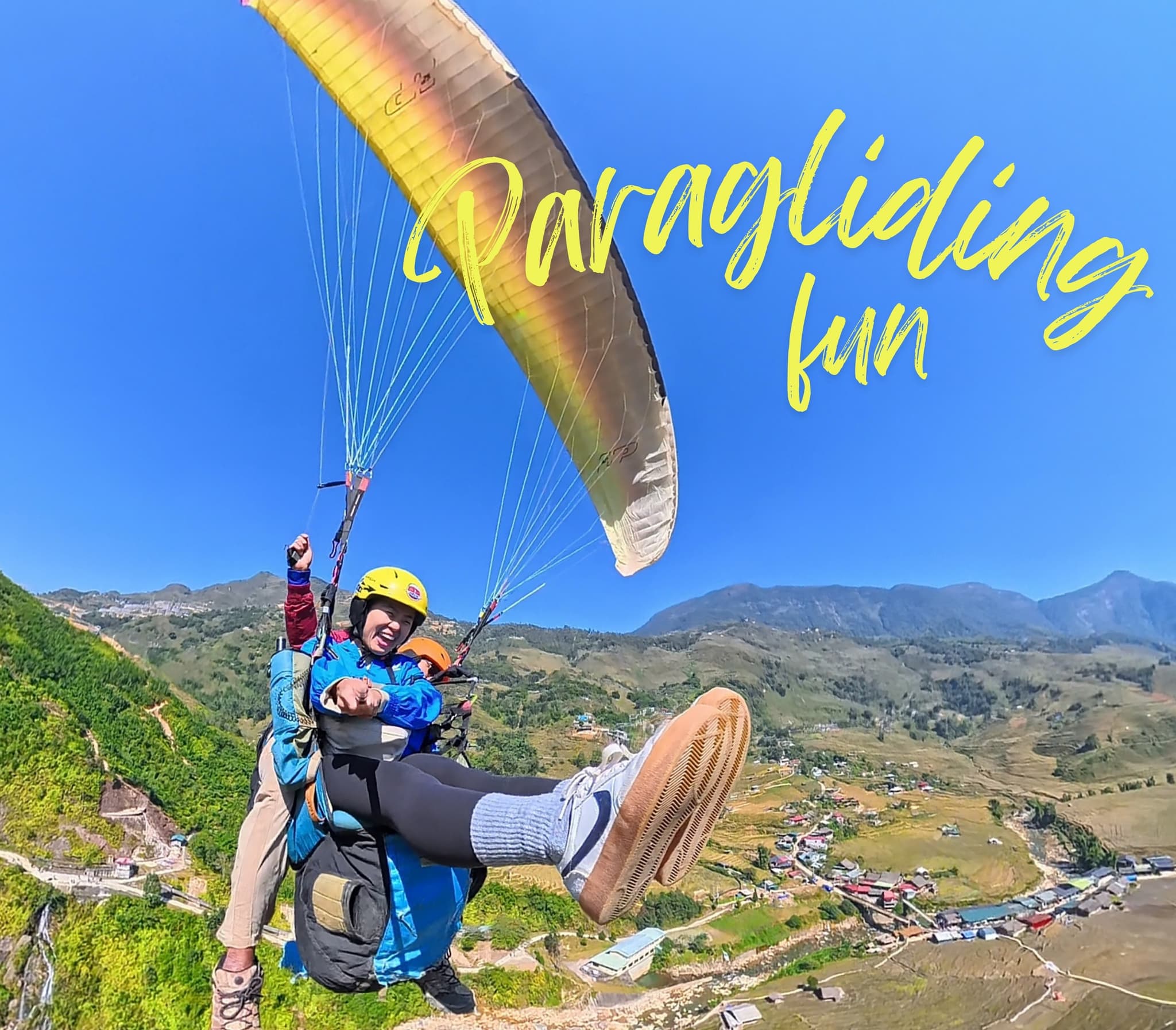
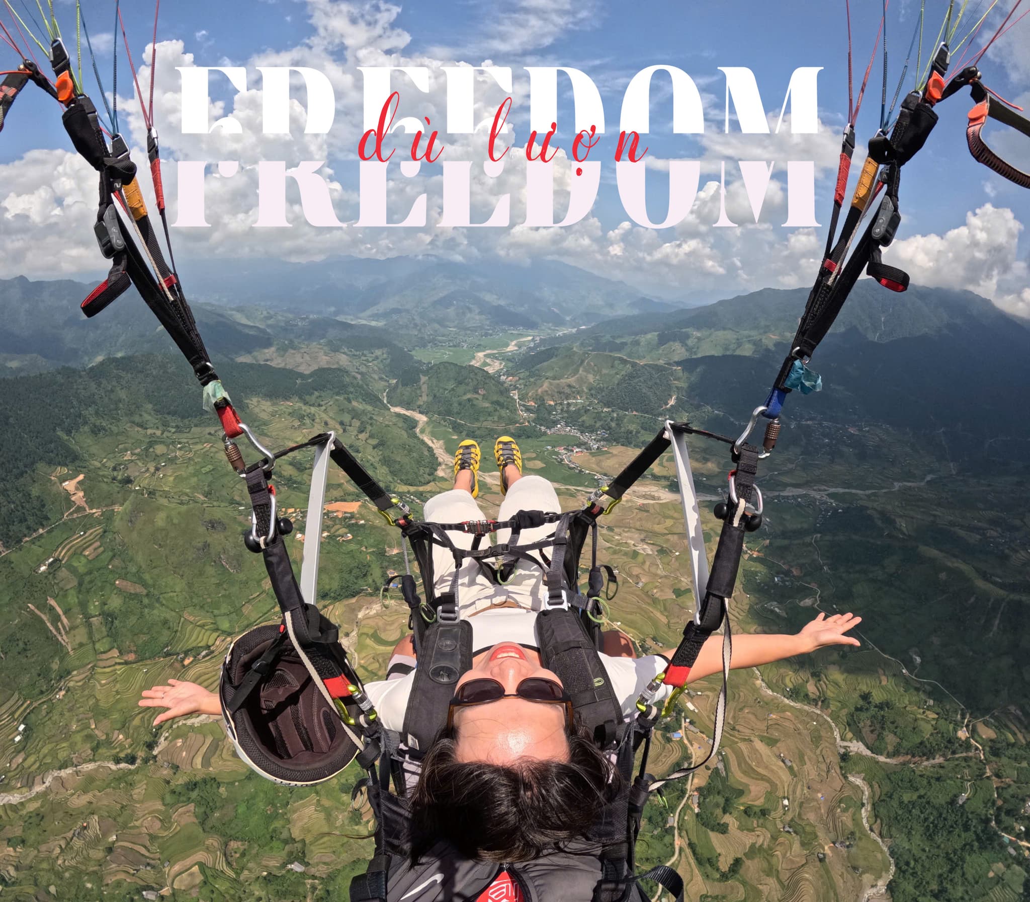

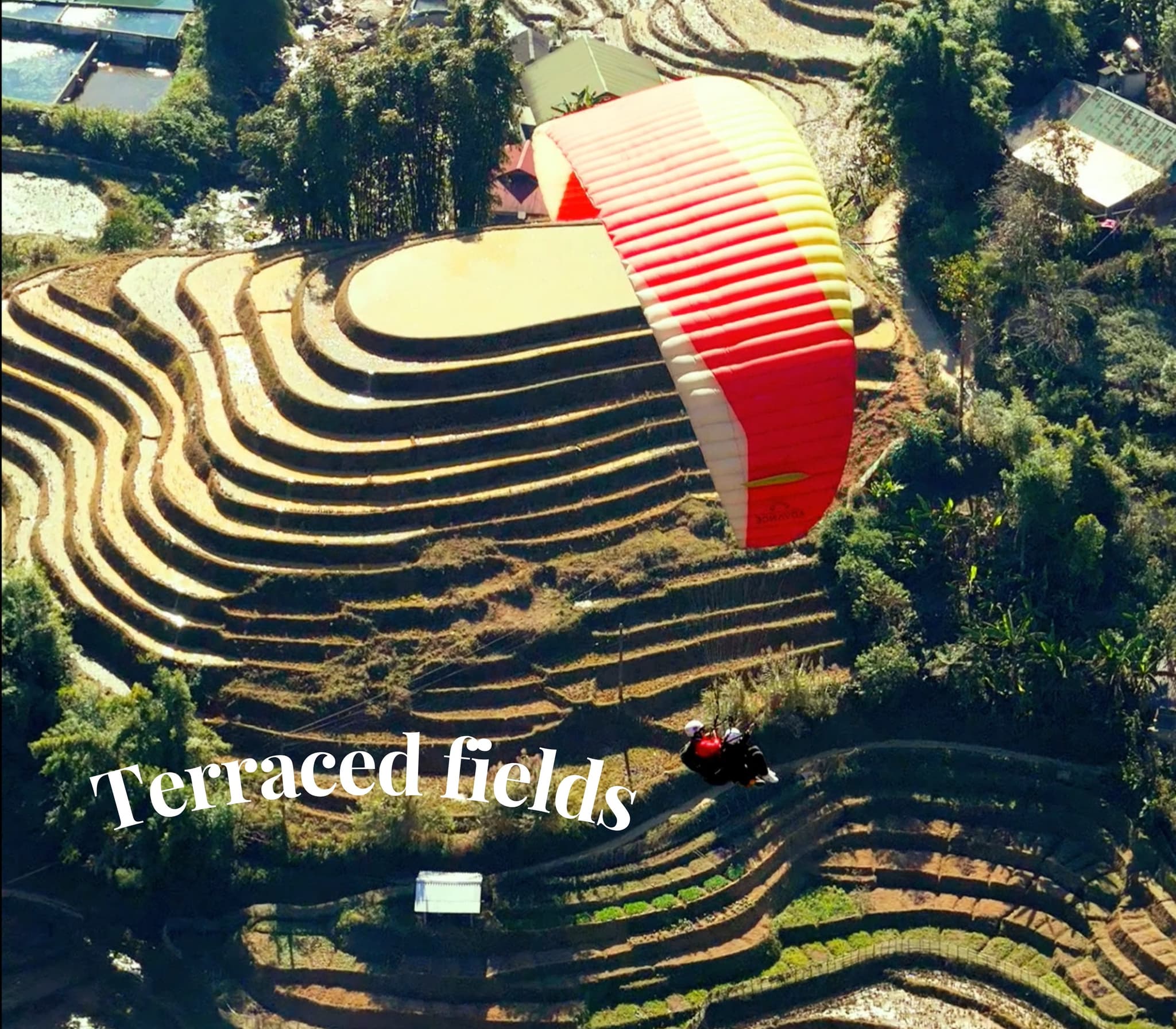
체험 이야기
여행객들이 전하는 잊지 못할 이야기
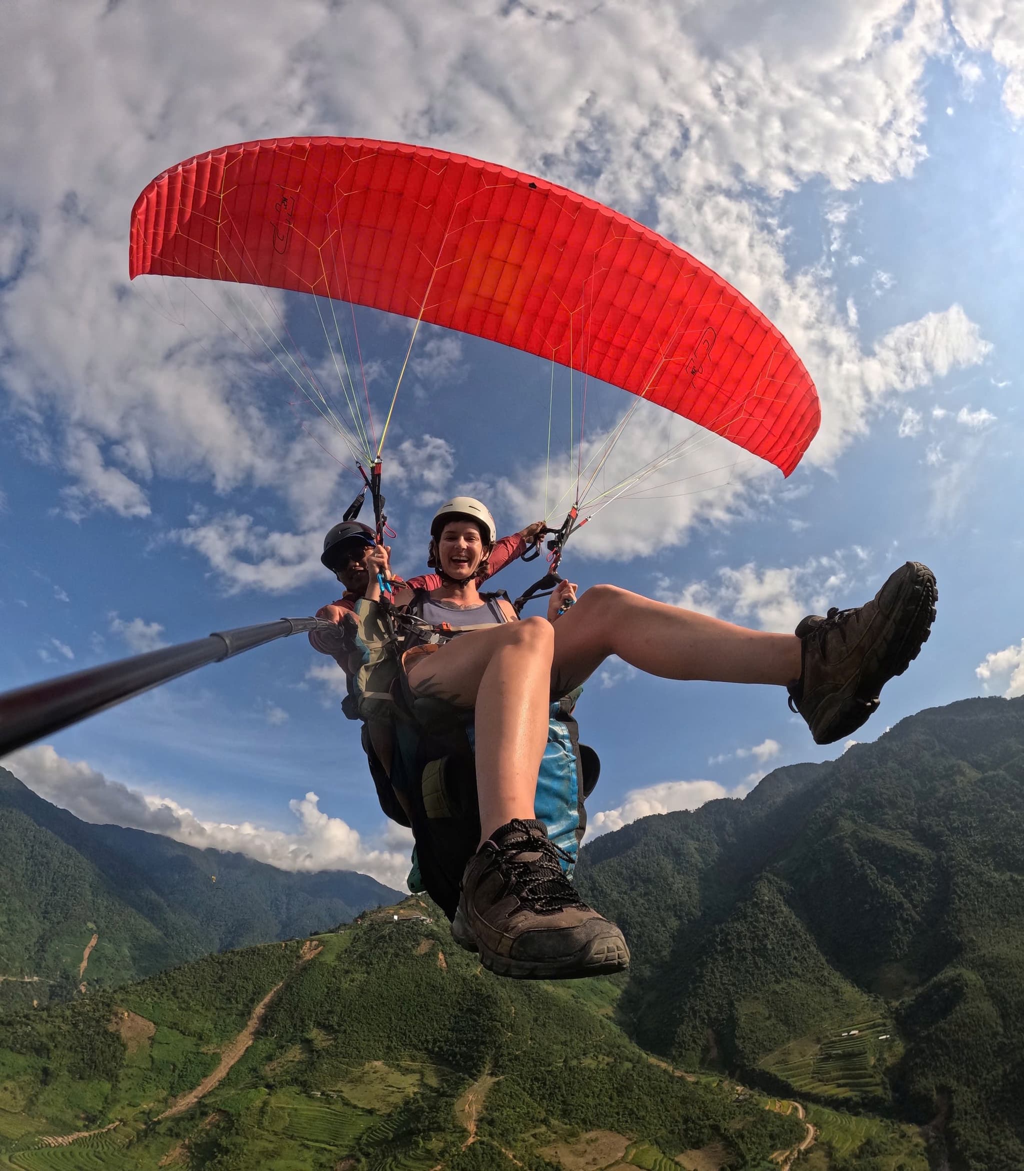
Mường Hoa 계곡 위를 날다
겹겹이 이어진 계단식 논과 멀리 우뚝 솟은 Fansipan을 품은 Mường Hoa 계곡을 따라 날아요. 높이 올라가면 얇은 구름층을 스치듯 지나가는데, 그야말로 Sa Pa다운 풍경이에요.
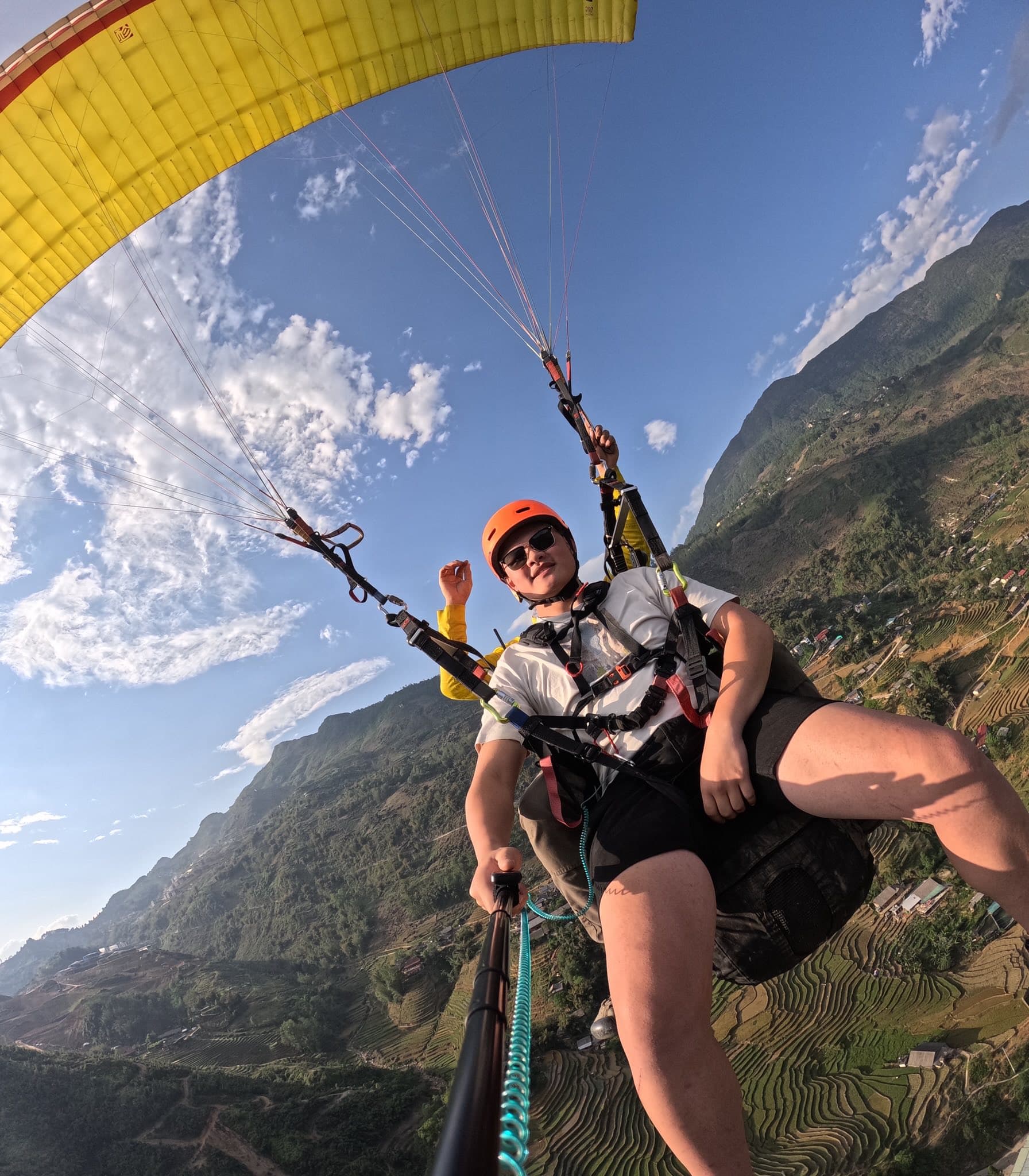
서리와 햇살
살을 에는 듯 추운 아침이었지만 공기는 잔잔했어요. 해가 떠오르자 서리가 녹으며 반짝이는 마을과 계단식 논이 모습을 드러냈어요.
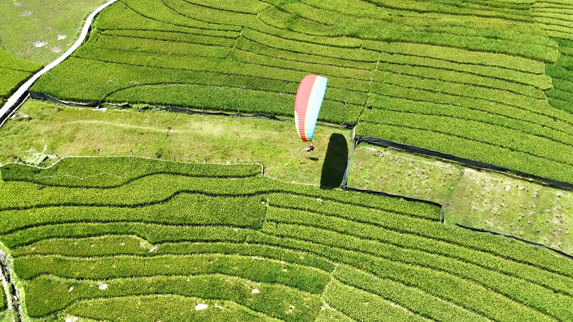
Mường Hoa에 착륙
어린 벼가 자라는 논 한가운데 착륙하자 아이들이 손을 흔들며 달려왔어요. 잊지 못할 추억이에요.
가이드 & 글 Muong Hoa 계곡 (Sapa) 패러글라이딩
비행 포인트 가이드, 파일럿 비행 기술, 가격, 이벤트
