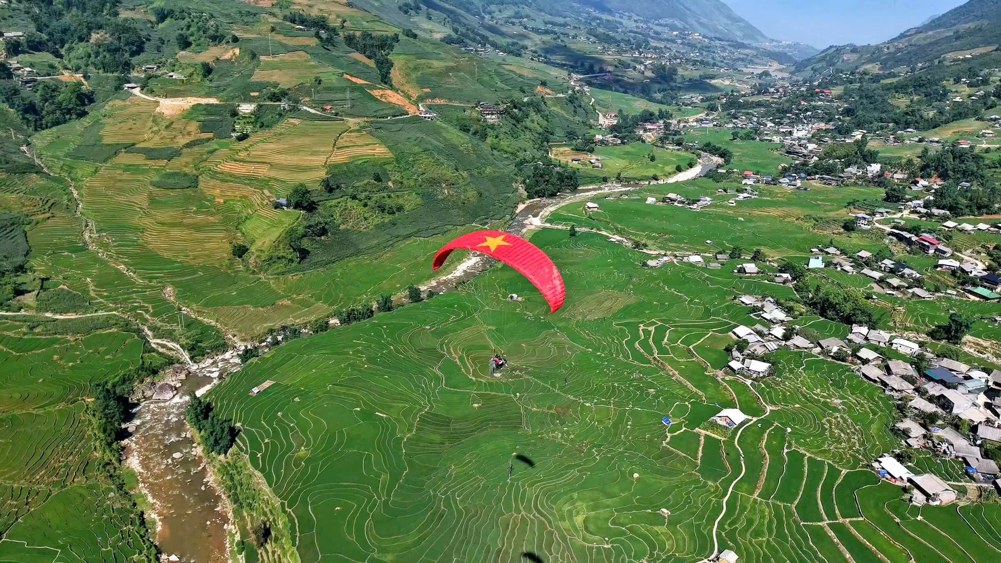
मुओंग होआ घाटी के ऊपर उड़ान
बादल – सीढ़ीदार खेत – फ़ैनसिपान
- लगभग 1,500 मी टेकऑफ ऊँचाई
- 8–15 मिनट हवा में, हवा के अनुसार
सा पा – मुओंग होआ उड़ान स्थल
त्वरित जानकारी
टेकऑफ ऊँचाई
लगभग 1,500 मी
उड़ान समय
8–15 मिनट
अनुभूति
स्मूद और स्थिर
सा पा – मुओंग होआ उड़ान स्थल Mebayluon नेटवर्क का हिस्सा है और इसे सीधे Sapa Paragliding टीम चलाती है। समय, क़ीमत और सापा पैराग्लाइडिंग की पूरी जानकारी सा पा टीम की अपनी वेबसाइट पर है; यह पेज बस स्थल का छोटा परिचय है।
📌 अतिरिक्त जानकारी:
Mebayluon के साथ सुरक्षित उड़ान
- हमारे पायलट अंतरराष्ट्रीय मानकों (APPI और IPPI) के अनुसार कठोर प्रशिक्षण से गुज़रते हैं, उनके पास टैंडम पायलट प्रमाणपत्र है और मेहमानों को ले जाने से पहले पर्याप्त उड़ान घंटे व हज़ारों उड़ानों का अनुभव होता है।
- अंतरराष्ट्रीय मानकों वाले असली आयातित उपकरण — विंग, हार्नेस, रिज़र्व पैराशूट, हेलमेट — हर उड़ान से पहले जाँचे जाते हैं और नियमित रूप से निरीक्षण होता है।
- हम केवल सुरक्षित मौसम में उड़ते हैं, पूर्वानुमान और साइट पर मौजूद पायलट के आकलन के अनुसार; हर उड़ान में मेहमान का बीमा शामिल है।
वियतनाम में हमारे पास और भी कई खूबसूरत उड़ान स्थल हैं
Google Maps पर उड़ान स्थल
इस स्थल की और जानकारी यहाँ
रास्ते का नक्शा
नक्शे को पूरे आकार में खोलने के लिए उस पर टैप करें।
सा पा उड़ान स्थल तक का रास्ता
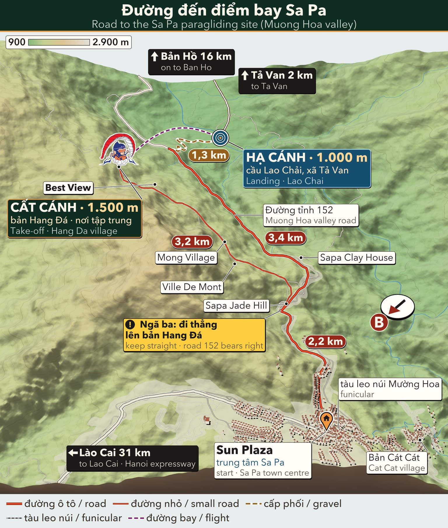
3D travel map of Sa Pa
16 stops around Sa Pa town and the Mường Hoa valley, including the paragliding take-off and landing. Tap a stop to fly in; drag, rotate and zoom freely.
━━ road━━ trekking route━━ funicular · cable car━━ paragliding flight line
16 stops on the map
1 Sun Plaza & Square Town centre · Meeting point
The heart of Sapa: funicular station, town square, stone church and the paragliding pick-up point.
2 Ham Rong Mountain Behind the stone church · On foot
A limestone mountain beside the town centre: climb past gardens, a stone forest and Heaven's Gate to a view over Sapa.
3 Moana Sapa Violet road · Photo park
A tropical-island-style photo park on Violet road, looking straight out over Muong Hoa Valley.
4 Fansipan Roof of Indochina · 3,143 m · far stop — zoom out to see it
Reach the Roof of Indochina by funicular and cable car from Sun Plaza, or trek 1–2 days from Tram Ton.
5 Cat Cat Village Hmong village · Close to town
The Hmong village closest to town: walk down a stone path past water wheels to Cat Cat waterfall.
6 Hang Da Take-off Sapa Paragliding · Take-off
Where the flight begins: check-in counter, covered waiting area and a grass launch facing Muong Hoa Valley.
7 Lao Chai Landing Black Hmong village · Landing
A Black Hmong village on the floor of Muong Hoa Valley, where gliders land in the fields and the walk to Ta Van begins.
8 Ta Van Village Muong Hoa Valley · Village
A Giay village on the Muong Hoa stream: homestays, the ancient rock field nearby, and the usual end of the one-day trek.
9 Ban Ho & Hot Spring End of Muong Hoa Valley · Tay village · far stop — zoom out to see it
A Tay village at the far end of Muong Hoa Valley, with a hot mineral spring in Ban Den hamlet – the finish of the long trek.
10 Seo My Ty Lake Above Ta Van · Mountain lake · far stop — zoom out to see it
A hydropower reservoir more than 1,600 m up above Ta Van, at the end of a steep, winding road – for confident riders.
11 Ta Phin Village North of town · Red Dao village · far stop — zoom out to see it
A Red Dao village north of Sapa, known for hand-embroidered brocade, herbal baths and the ruins of a stone monastery.
12 Silver & Love Falls Road QL4D · Waterfalls · far stop — zoom out to see it
Silver Waterfall sits beside road QL4D; Love Waterfall is a 30-minute forest walk into Hoang Lien – both on the same road.
13 O Quy Ho Pass Road QL4D · Mountain pass & viewpoint · far stop — zoom out to see it
A pass of nearly 50 km linking Lao Cai and Lai Chau across the Hoang Lien Son range – a place for sunsets and cloud seas.
14 Rong May Glass Bridge O Quy Ho Pass · Glass bridge & thrill games · far stop — zoom out to see it
An outdoor glass lift takes you up to a glass walkway reaching out from the cliff at about 2,200 m.
15 Best View Sapa Cau May ward · Viewpoint
A hillside check-in spot at about 1,600 m, looking down on Muong Hoa Valley and Ta Van, close to the paragliding take-off.
16 Muong Hoa funicular Sun Plaza → Muong Hoa station · Funicular
A ride of about 6 minutes from the station inside Sun Plaza to the Fansipan cable car station, through tunnels and over viaducts above Muong Hoa Valley.
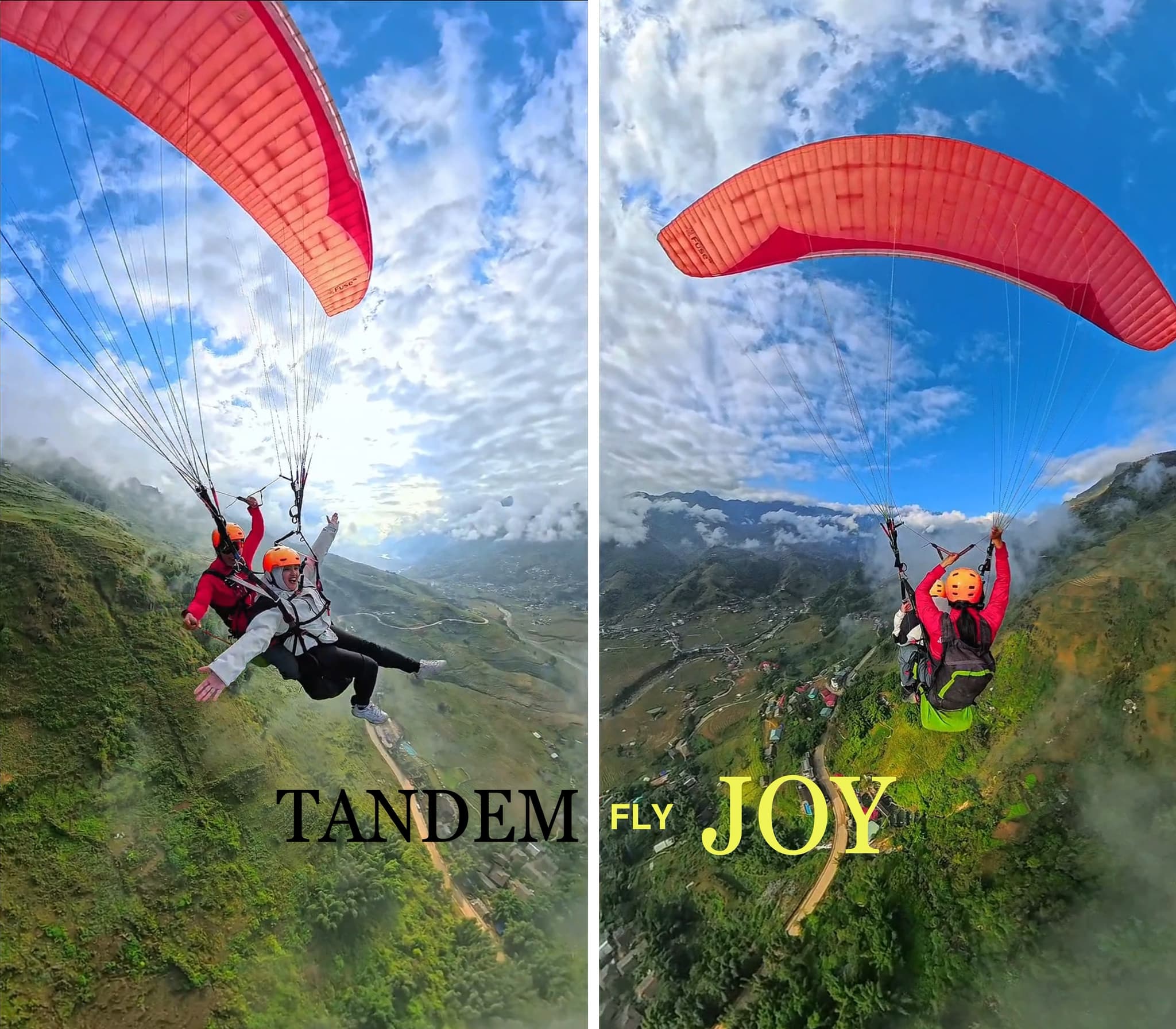
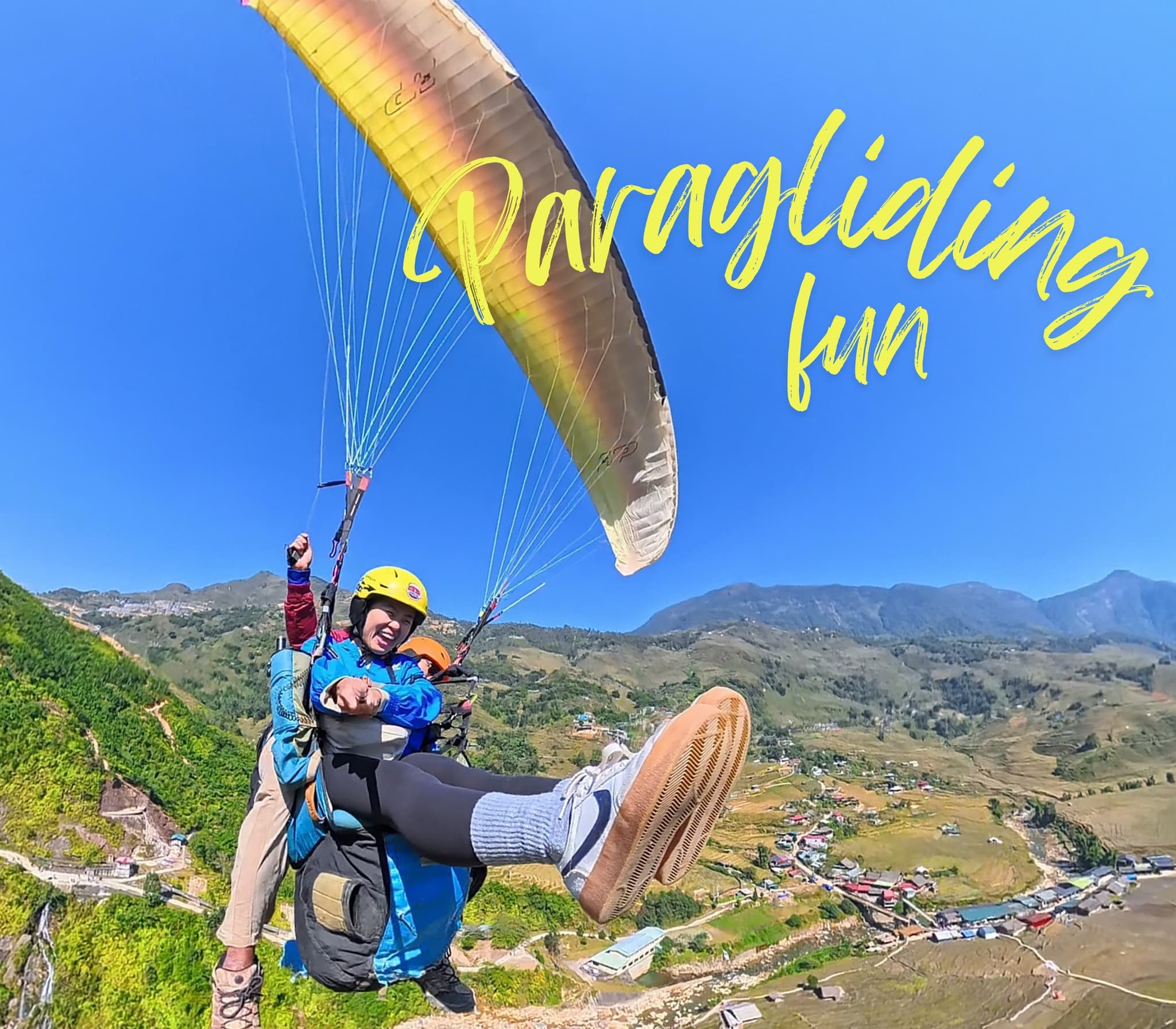
यहाँ के पल

कहानियाँ और अनुभव
यात्रियों की यादगार बातें सुनें
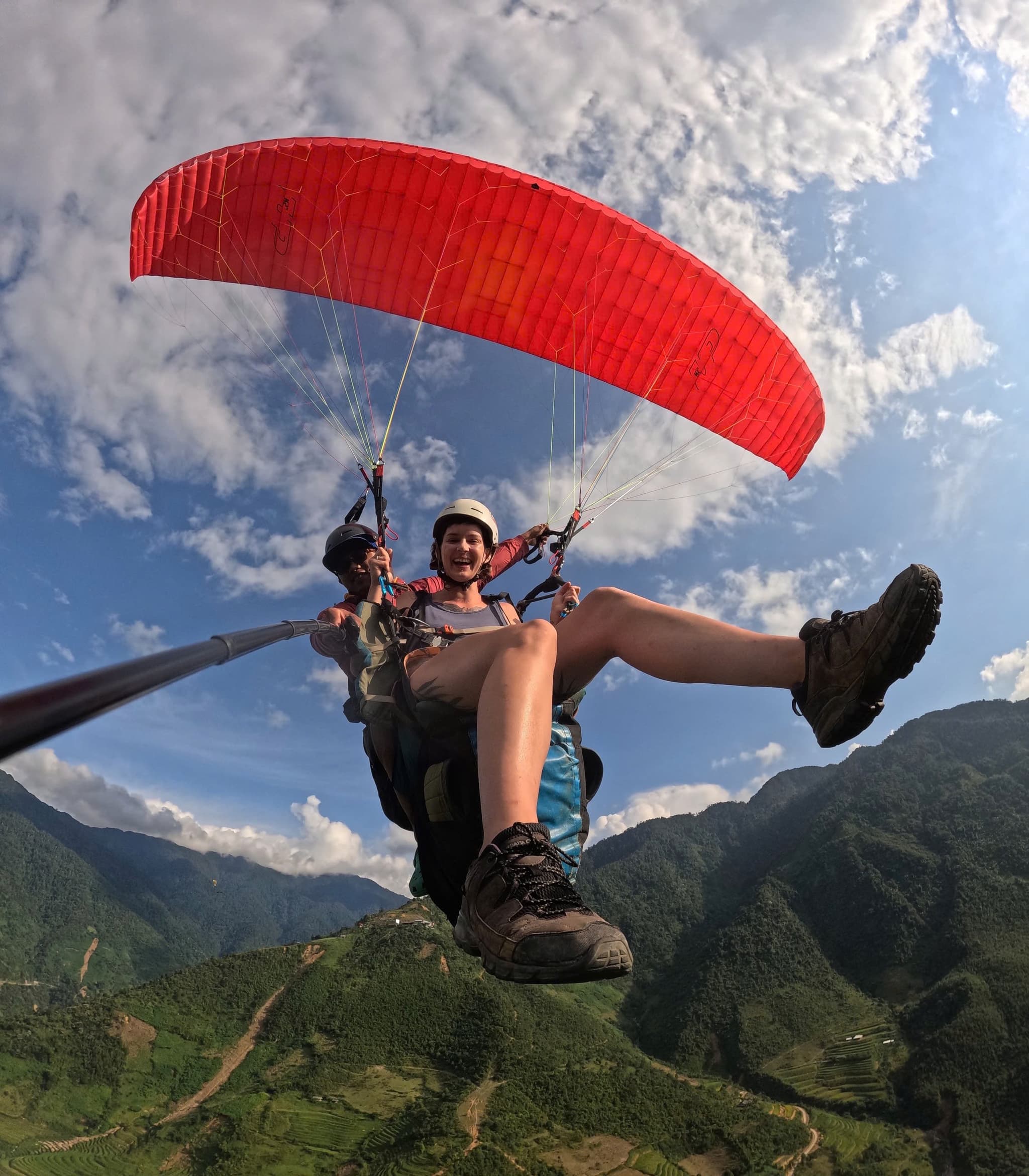
मुओंग होआ घाटी के ऊपर उड़ान
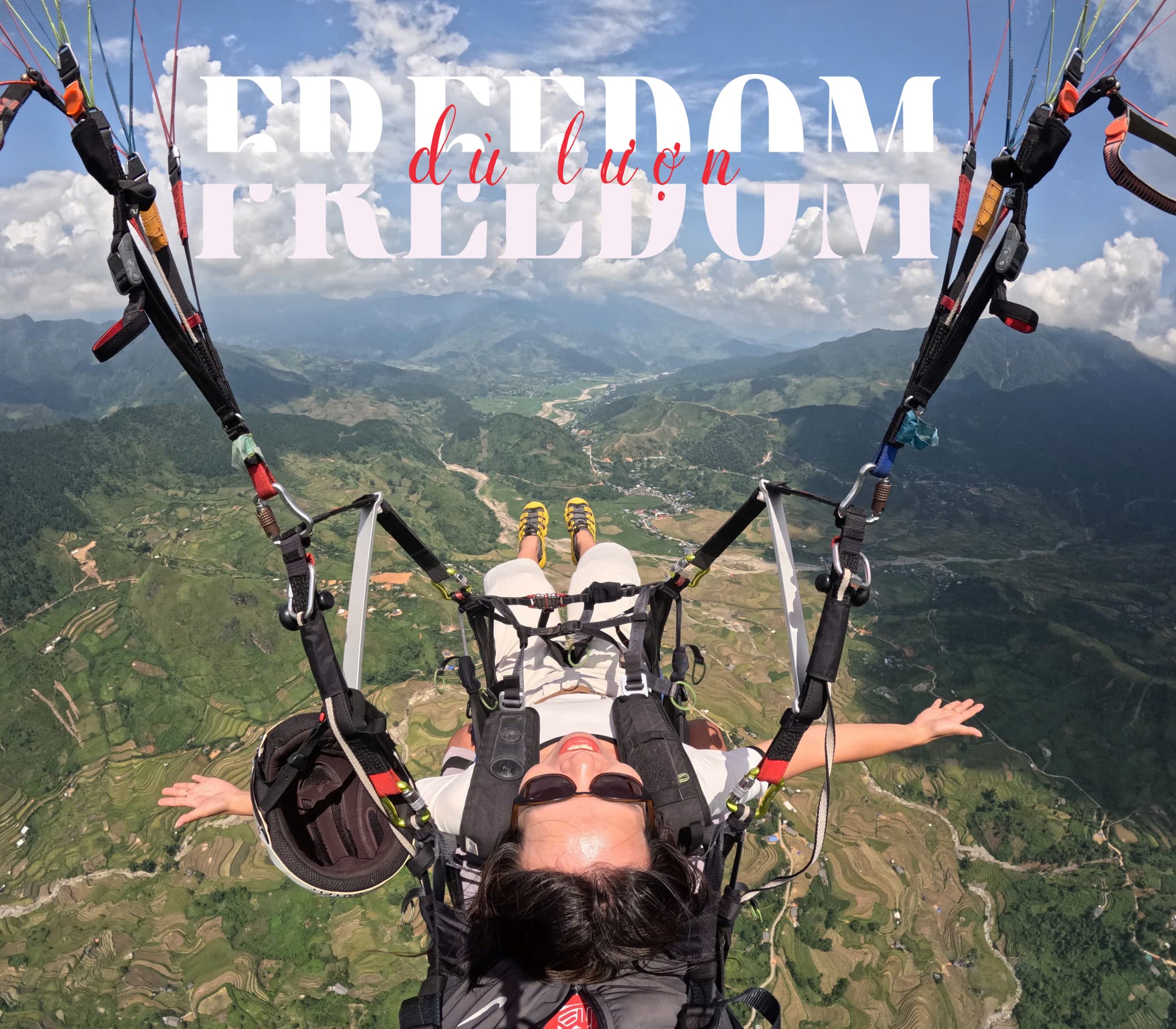
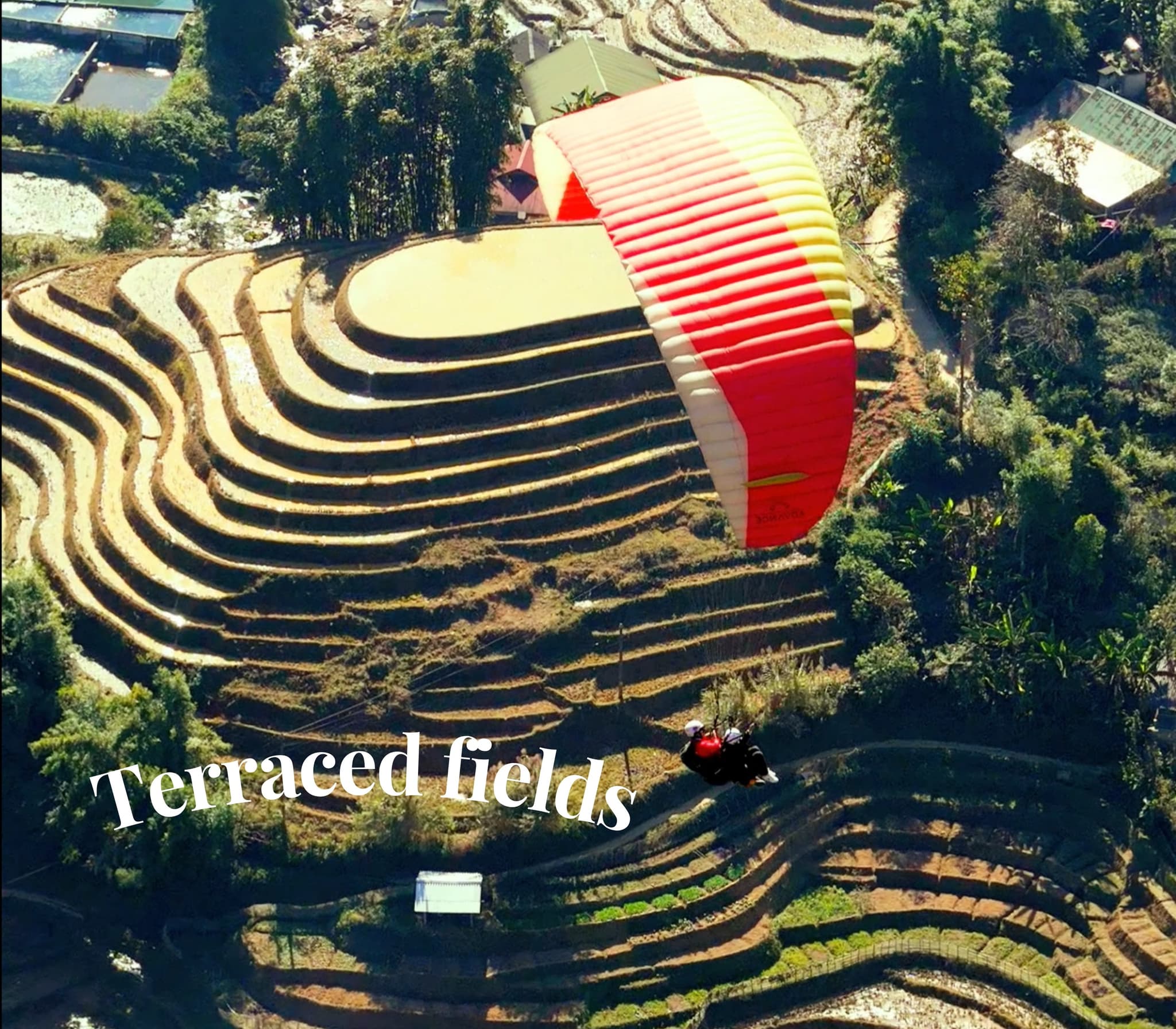
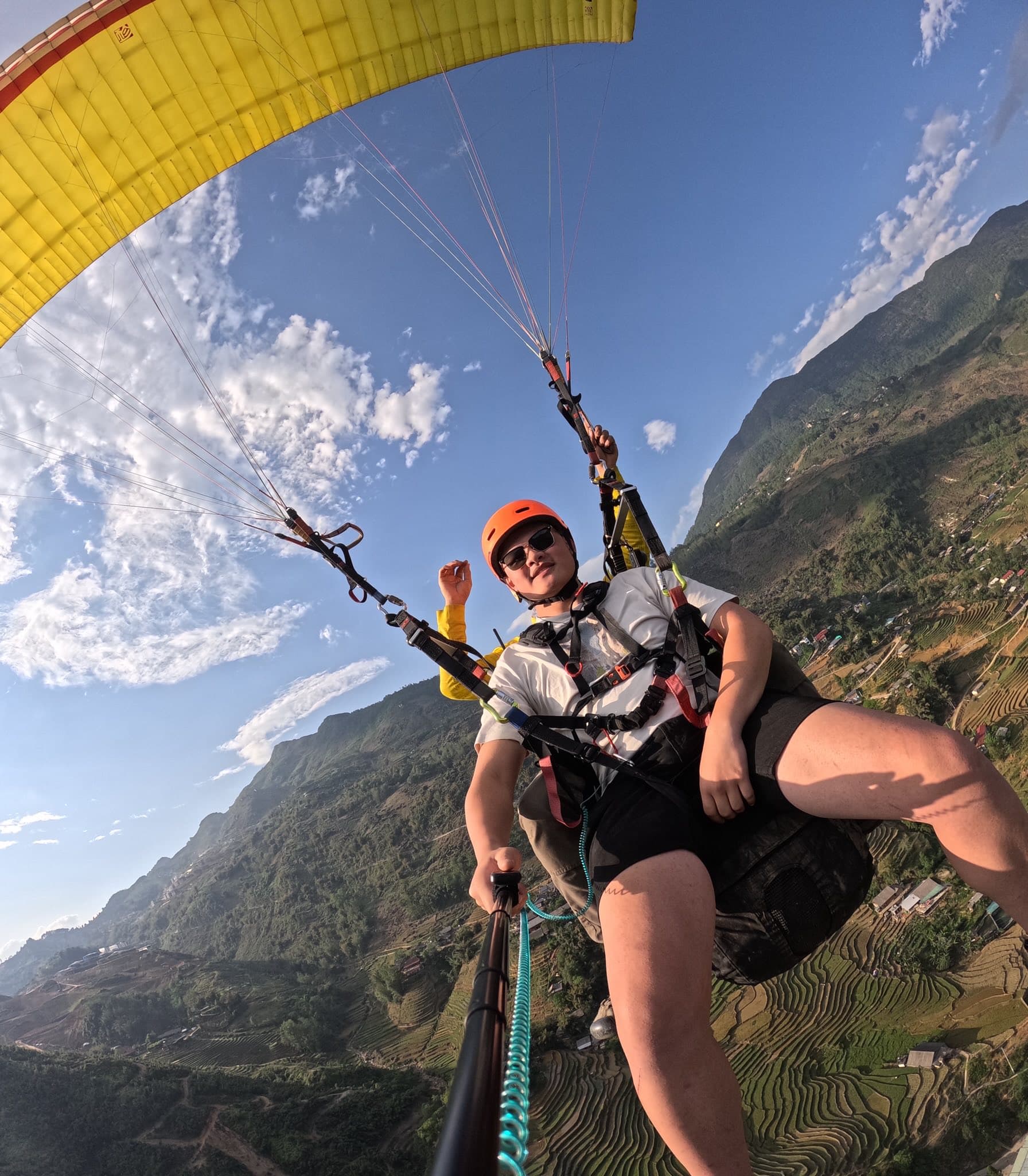
उड़ान मार्ग मुओंग होआ घाटी के ऊपर से गुजरता है—सीढ़ीदार खेत और दूर फ़ैनसिपान अद्भुत दिखते हैं। ऊपर जाकर पतली बादलों की परत को छूना—एकदम सा पा वाला एहसास।
पाला और धूप
सुबह ठंड तीखी थी, लेकिन हवा स्मूद रही। सूरज निकलते ही पाला पिघला और गांव और खेत चमक उठे।
मुओंग होआ में सॉफ्ट लैंडिंग
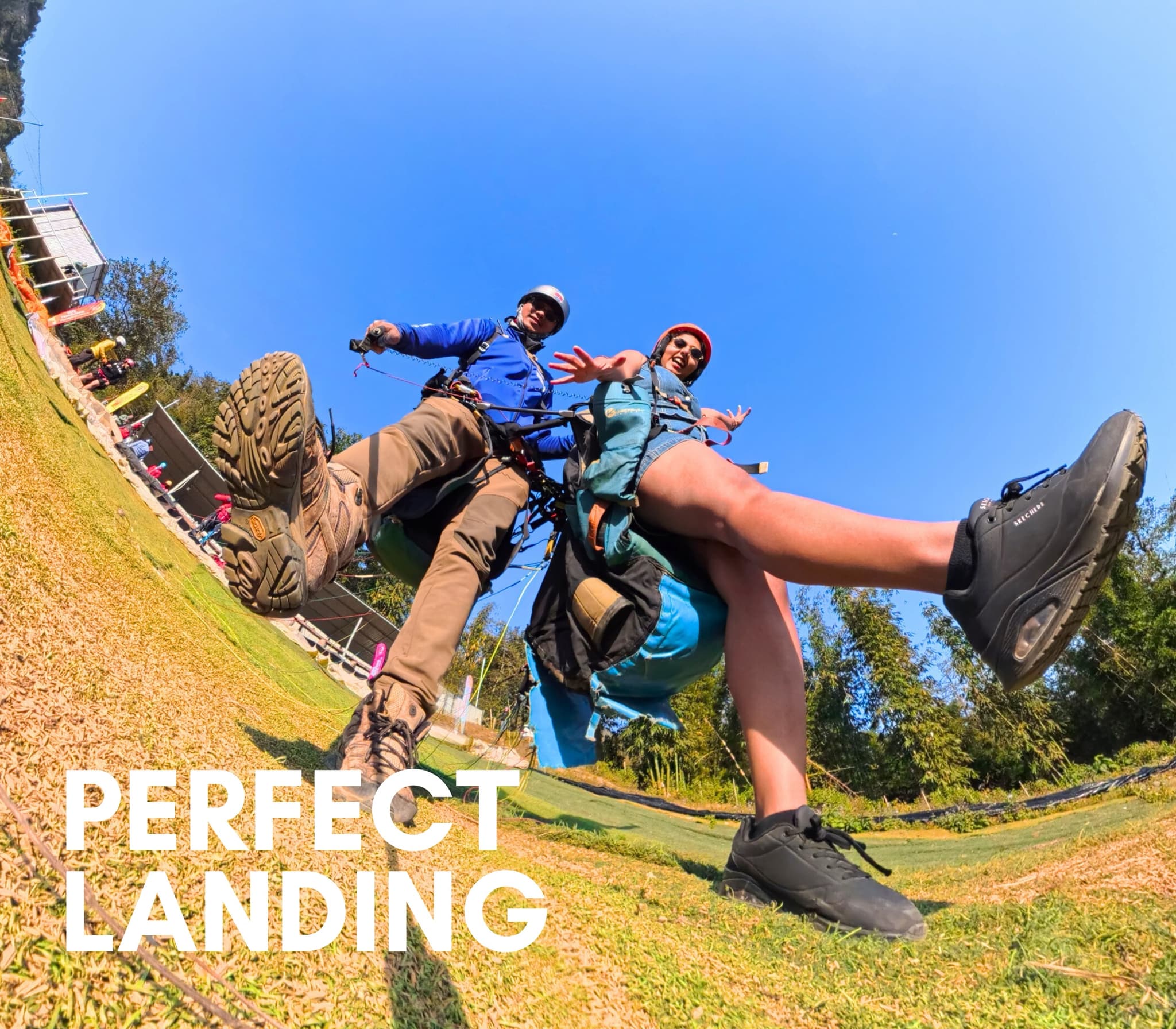
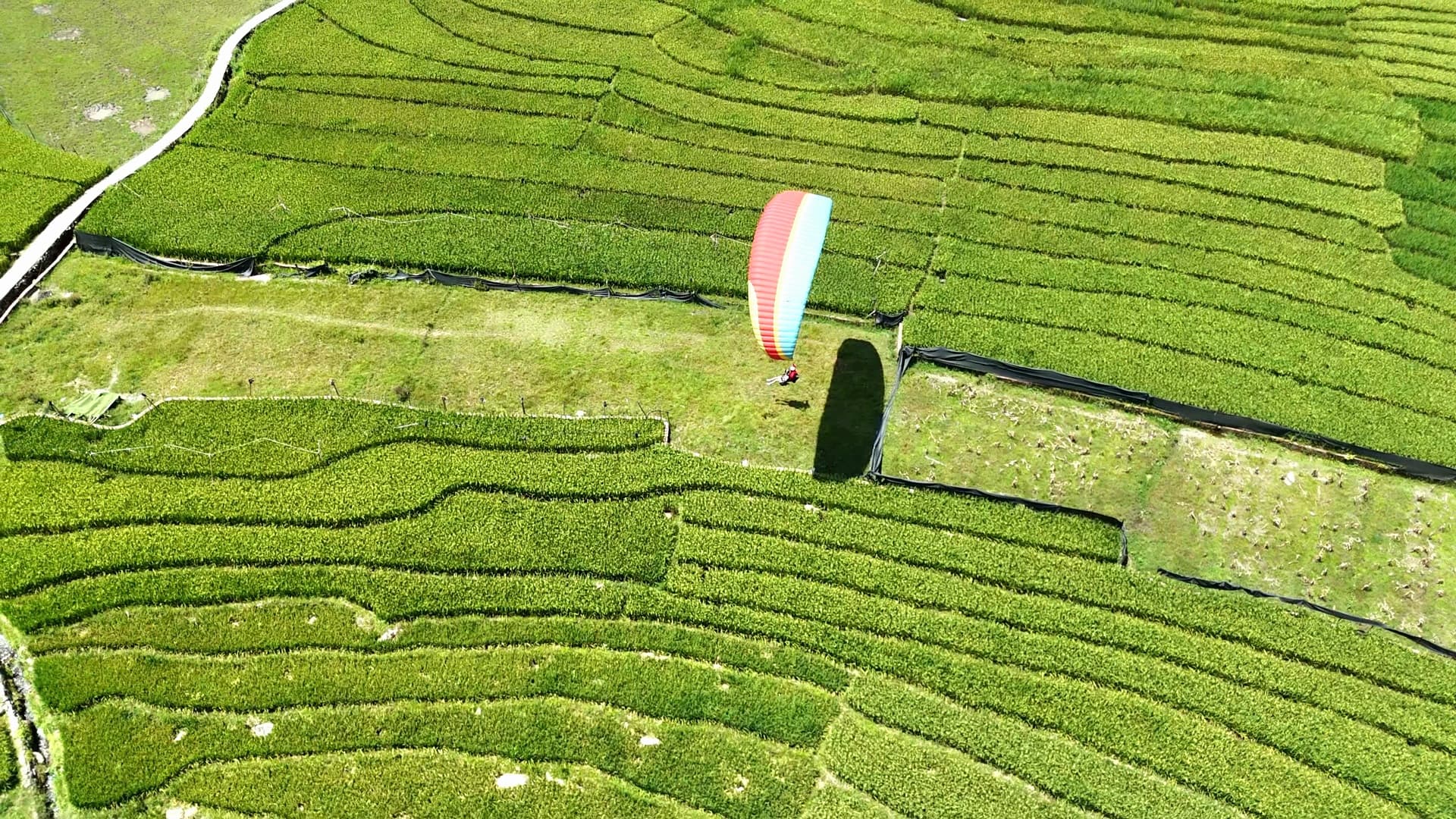
हरी-भरी धान की फसलों के बीच लैंडिंग हुई और बच्चे हाथ हिलाते हुए दौड़े आए—सच में यादगार पल।
गाइड और लेख मुओंग होआ घाटी (सापा) में पैराग्लाइडिंग
उड़ान स्थल गाइड, पायलट तकनीक, कीमतें और आयोजन
